Property Record
6050 Stringfellow Rd, Saint James City, FL 33956


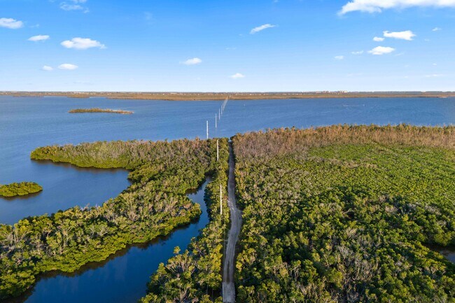
Property Detail
6050 Stringfellow Rd
14-45-22-00-00001.1110
PARL IN SW 1/4 DESC IN OR 4584 PG 2797
Dairyfarm
LEE
AG-2
Florida
AE The base floodplain where base flood elevations are provided. AE Zones are now used on new format FIRMs instead of A1-A30 Zones.
111
2025
8.85 AC
2025
The Islands
070202
Southwest Florida
768 SF
Cape Coral-Fort Myers, FL
NEARBY LISTINGS FOR SALE OR LEASE
DEMOGRAPHICS near 6050 Stringfellow Rd
1 mile
3 mile
5 mile
2025 Total Population
590
2,365
17,949
2030 Population
652
2,655
20,239
Pop Growth 2025-2030
+ 10.51%
+ 12.26%
+ 12.76%
Average Age
55
60
54
2025 Total Households
284
1,225
8,123
HH Growth 2025-2030
+ 9.51%
+ 11.59%
+ 12.19%
Median Household Inc
$85,069
$55,482
$84,208
Avg Household Size
2.10
1.90
2.20
2025 Avg HH Vehicles
2.00
2.00
2.00
Median Home Value
$379,411
$357,028
$505,729
Median Year Built
1984
1983
1999
Nearby Places
Map Layers
Map Styles
 Street
 Aerial
Transit
 Traffic
 Biking
Places
Listings with unknown addresses are not visible on the map
- Restaurants
- Banks
- Shops
- Fitness
- Groceries
PUBLIC TRANSPORTATION
AIRPORT
Punta Gorda
Drive
Walk
Distance
Punta Gorda
57 min
31.9 mi
Southwest Florida International
Drive
Walk
Distance
Southwest Florida International
63 min
35.8 mi
Freight Ports
Port Manatee
Drive
Walk
Distance
Port Manatee
137 min
103.6 mi
SALE & LEASE HISTORY
LISTING DATE
SALE/LEASE

Feb 23, 2025
For Sale
Feb 17, 2025
For Sale
Dec 03, 2025
For Sale
Nearby Properties
Address
Land Use
TOTAL SIZE
Lot Size
Zoning
Address
Land Use
TOTAL SIZE
Lot Size
Zoning
207.51 AC
AG-2
Address
Land Use
TOTAL SIZE
Lot Size
Zoning
780.48 AC
AG-2
Address
Land Use
TOTAL SIZE
Lot Size
Zoning
175.30 AC
AG-2
Address
Land Use
TOTAL SIZE
Lot Size
Zoning
36 SF
261.71 AC
AG-2
Address
Land Use
TOTAL SIZE
Lot Size
Zoning
20.48 AC
RM-2
Address
Land Use
TOTAL SIZE
Lot Size
Zoning
25.84 AC
RS-1
Address
Land Use
TOTAL SIZE
Lot Size
Zoning
101.90 AC
AG-2
Address
Land Use
TOTAL SIZE
Lot Size
Zoning
5,372 SF
0.44 AC
CPD
Address
Land Use
TOTAL SIZE
Lot Size
Zoning
9,962 SF
2.79 AC
CS-1
Address
Land Use
TOTAL SIZE
Lot Size
Zoning
6,906 SF
3.90 AC
AG-2
Address
Land Use
TOTAL SIZE
Lot Size
Zoning
11,789 SF
6.17 AC
AG-2
Address
Land Use
TOTAL SIZE
Lot Size
Zoning
5,406 SF
0.47 AC
C-1
Address
Land Use
TOTAL SIZE
Lot Size
Zoning
3,529 SF
0.31 AC
C-1
Address
Land Use
TOTAL SIZE
Lot Size
Zoning
4,832 SF
0.89 AC
C1
Address
Land Use
TOTAL SIZE
Lot Size
Zoning
220.74 AC
AG-2
Address
Land Use
TOTAL SIZE
Lot Size
Zoning
17,495 SF
34.27 AC
AG-2
Address
Land Use
TOTAL SIZE
Lot Size
Zoning
9.63 AC
C-1
Address
Land Use
TOTAL SIZE
Lot Size
Zoning
115 AC
AG-2
Address
Land Use
TOTAL SIZE
Lot Size
Zoning
29.20 AC
RS1
Address
Land Use
TOTAL SIZE
Lot Size
Zoning
0.70 AC
AG2
Address
Land Use
TOTAL SIZE
Lot Size
Zoning
4,041 SF
3.17 AC
AG-2
Address
Land Use
TOTAL SIZE
Lot Size
Zoning
4,670 SF
1.05 AC
AG-2
Address
Land Use
TOTAL SIZE
Lot Size
Zoning
5,188 SF
6.78 AC
AG-2
Address
Land Use
TOTAL SIZE
Lot Size
Zoning
5,234 SF
0.33 AC
C-1
Address
Land Use
TOTAL SIZE
Lot Size
Zoning
1,512 SF
0.44 AC
C-1
Address
Land Use
TOTAL SIZE
Lot Size
Zoning
5,664 SF
10.28 AC
AG-2
Address
Land Use
TOTAL SIZE
Lot Size
Zoning
3,750 SF
2.02 AC
AG-2
Address
Land Use
TOTAL SIZE
Lot Size
Zoning
9,682 SF
11.02 AC
AG-2
Address
Land Use
TOTAL SIZE
Lot Size
Zoning
4,995 SF
2.42 AC
AG-2
Address
Land Use
TOTAL SIZE
Lot Size
Zoning
34.33 AC
AG-2
The World's #1 Commercial Real Estate Marketplace
Connect with us
© 2026 CoStar Group
The information above has been obtained from sources believed reliable. While we do not doubt its accuracy we have not verified it and make no guarantee, warranty or representation about it. It is your responsibility to independently confirm its accuracy and completeness. Any projections, opinions, assumptions, or estimates used are for example only and do not represent the current or future performance of the property. The value of this transaction to you depends on tax and other factors which should be evaluated by your tax, financial, and legal advisors. You and your advisors should conduct a careful, independent investigation of the property to determine to your satisfaction the suitability of the property for your needs.