Property Record
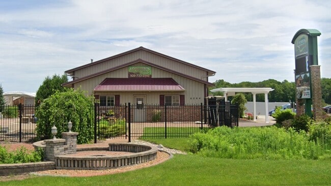
6064 N Richmond St, Appleton, WI 54913


Property Detail
6064 N Richmond St
Appleton, WI
LOT 2 CSM 8110
10-1-0084-00
Outagamie
Commercialnec
Wisconsin
B and X Area of moderate flood hazard, usually the area between the limits of the 100-year and 500-year floods.
1
2024
2.33 AC
2024
Outagamie County
012503
Green Bay
7,920 SF
NEARBY LISTINGS FOR SALE OR LEASE
DEMOGRAPHICS near 6064 N Richmond St
1 mile
3 mile
5 mile
2025 Total Population
1,129
24,272
76,969
2030 Population
1,160
24,703
78,643
Pop Growth 2025-2030
+ 2.75%
+ 1.78%
+ 2.17%
Average Age
43
43
40
2025 Total Households
420
9,734
31,767
HH Growth 2025-2030
+ 2.86%
+ 1.75%
+ 2.38%
Median Household Inc
$152,925
$104,066
$84,310
Avg Household Size
2.70
2.40
2.30
2025 Avg HH Vehicles
2.00
2.00
2.00
Median Home Value
$395,035
$349,844
$274,478
Median Year Built
2001
1993
1977
Nearby Places
Map Layers
Map Styles
 Street
 Aerial
Transit
 Traffic
 Biking
Places
Listings with unknown addresses are not visible on the map
- Restaurants
- Banks
- Shops
- Fitness
- Groceries
SALE & LEASE HISTORY
LISTING DATE
SALE/LEASE

Sep 05, 2024
For Lease
Nearby Properties
Address
Land Use
TOTAL SIZE
Lot Size
Zoning
Address
Land Use
TOTAL SIZE
Lot Size
Zoning
500,700 SF
47.17 AC
Address
Land Use
TOTAL SIZE
Lot Size
Zoning
189,107 SF
13.37 AC
Address
Land Use
TOTAL SIZE
Lot Size
Zoning
70,136 SF
6.34 AC
C2
Address
Land Use
TOTAL SIZE
Lot Size
Zoning
2,032 SF
18.48 AC
R3
Address
Land Use
TOTAL SIZE
Lot Size
Zoning
65,818 SF
8.01 AC
C2
Address
Land Use
TOTAL SIZE
Lot Size
Zoning
6.59 AC
M1
Address
Land Use
TOTAL SIZE
Lot Size
Zoning
194,573 SF
19.99 AC
Address
Land Use
TOTAL SIZE
Lot Size
Zoning
40,560 SF
6.67 AC
R3
Address
Land Use
TOTAL SIZE
Lot Size
Zoning
107,202 SF
39.98 AC
C2
Address
Land Use
TOTAL SIZE
Lot Size
Zoning
66,504 SF
5.25 AC
C2
Address
Land Use
TOTAL SIZE
Lot Size
Zoning
15,560 SF
15.24 AC
Address
Land Use
TOTAL SIZE
Lot Size
Zoning
6.66 AC
Address
Land Use
TOTAL SIZE
Lot Size
Zoning
13,994 SF
8.13 AC
R3
Address
Land Use
TOTAL SIZE
Lot Size
Zoning
83,926 SF
7.35 AC
C2
Address
Land Use
TOTAL SIZE
Lot Size
Zoning
7,979 SF
6.64 AC
C2
Address
Land Use
TOTAL SIZE
Lot Size
Zoning
65,174 SF
9.13 AC
C2
Address
Land Use
TOTAL SIZE
Lot Size
Zoning
40,560 SF
3.69 AC
R3
Address
Land Use
TOTAL SIZE
Lot Size
Zoning
1,160 SF
4.70 AC
R3
Address
Land Use
TOTAL SIZE
Lot Size
Zoning
18,764 SF
318.60 AC
PDC2
Address
Land Use
TOTAL SIZE
Lot Size
Zoning
3,173 SF
4.02 AC
R3
Address
Land Use
TOTAL SIZE
Lot Size
Zoning
24,272 SF
2.44 AC
C2
Address
Land Use
TOTAL SIZE
Lot Size
Zoning
59,017 SF
5.12 AC
R3
Address
Land Use
TOTAL SIZE
Lot Size
Zoning
4,869 SF
5.70 AC
PDR3
Address
Land Use
TOTAL SIZE
Lot Size
Zoning
16,716 SF
4.90 AC
PDR3
Address
Land Use
TOTAL SIZE
Lot Size
Zoning
1,008 SF
13.19 AC
M1
Address
Land Use
TOTAL SIZE
Lot Size
Zoning
13,252 SF
0.29 AC
Address
Land Use
TOTAL SIZE
Lot Size
Zoning
17,888 SF
0.29 AC
Address
Land Use
TOTAL SIZE
Lot Size
Zoning
71,640 SF
2.14 AC
C2
Address
Land Use
TOTAL SIZE
Lot Size
Zoning
3.48 AC
Address
Land Use
TOTAL SIZE
Lot Size
Zoning
24,076 SF
4.36 AC
The World's #1 Commercial Real Estate Marketplace
Connect with us
© 2026 CoStar Group
The information above has been obtained from sources believed reliable. While we do not doubt its accuracy we have not verified it and make no guarantee, warranty or representation about it. It is your responsibility to independently confirm its accuracy and completeness. Any projections, opinions, assumptions, or estimates used are for example only and do not represent the current or future performance of the property. The value of this transaction to you depends on tax and other factors which should be evaluated by your tax, financial, and legal advisors. You and your advisors should conduct a careful, independent investigation of the property to determine to your satisfaction the suitability of the property for your needs.