Property Record
6075 Pleasants Valley Rd, Vacaville, CA 95688


NEARBY LISTINGS FOR SALE OR LEASE
Property Detail
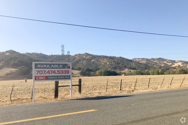
6075 Pleasants Valley Rd
Vallejo-Fairfield, CA
Neil 04
0122-030-030
BK-BG 00-00
Pasture
Solano
X
California
06095C0257E
12
2024
64.98 AC
2025
Vacaville/Dixon
252903
North Bay/Santa Rosa
DEMOGRAPHICS near 6075 Pleasants Valley Rd
1 Mile
3 Mile
5 Mile
2024 Total Population
487
39,755
128,379
2029 Population
475
39,433
127,313
Pop Growth 2024-2029
(2.46%)
(0.81%)
(0.83%)
Average Age
46
41
40
2024 Total Households
197
12,859
43,849
HH Growth 2024-2029
(2.54%)
(1.03%)
(0.96%)
Median Household Inc
$129,167
$83,560
$100,514
Avg Household Size
2.50
2.60
2.70
2024 Avg HH Vehicles
2.00
2.00
2.00
Median Home Value
$817,129
$568,565
$610,398
Median Year Built
1973
1975
1985
Nearby Places
Map Layers
Map Styles
 Street
 Aerial
- Restaurants
- Banks
- Shops
- Fitness
- Groceries
PUBLIC TRANSPORTATION
COMMUTER RAIL
Fairfield-Vacaville (Capitol Corridor - Amtrak)
DRIVE
WALK
Distance
Fairfield-Vacaville (Capitol Corridor - Amtrak)
13 min
7.9 mi
Suisun-Fairfield (Capitol Corridor - Capitol Corridor Joint Powers Authority)
DRIVE
WALK
Distance
Suisun-Fairfield (Capitol Corridor - Capitol Corridor Joint Powers Authority)
15 min
9.9 mi
Freight Ports
Port of Richmond
DRIVE
WALK
Distance
Port of Richmond
55 min
42.1 mi
Nearby Properties
Address
Land Use
TOTAL SIZE
Lot Size
Zoning
Address
Land Use
TOTAL SIZE
Lot Size
Zoning
67.79 AC
Address
Land Use
TOTAL SIZE
Lot Size
Zoning
8.80 AC
Address
Land Use
TOTAL SIZE
Lot Size
Zoning
123,136 SF
5.27 AC
Address
Land Use
TOTAL SIZE
Lot Size
Zoning
177,626 SF
10.04 AC
Address
Land Use
TOTAL SIZE
Lot Size
Zoning
38,696 SF
5.47 AC
Address
Land Use
TOTAL SIZE
Lot Size
Zoning
159,947 SF
10.98 AC
Address
Land Use
TOTAL SIZE
Lot Size
Zoning
112,080 SF
9.06 AC
Address
Land Use
TOTAL SIZE
Lot Size
Zoning
111,044 SF
6.11 AC
Address
Land Use
TOTAL SIZE
Lot Size
Zoning
111,143 SF
10.84 AC
COM
Address
Land Use
TOTAL SIZE
Lot Size
Zoning
75,569 SF
4.82 AC
COMML
Address
Land Use
TOTAL SIZE
Lot Size
Zoning
78,268 SF
2.73 AC
COMML
Address
Land Use
TOTAL SIZE
Lot Size
Zoning
109,004 SF
5.12 AC
Address
Land Use
TOTAL SIZE
Lot Size
Zoning
5.82 AC
Address
Land Use
TOTAL SIZE
Lot Size
Zoning
43,780 SF
4.02 AC
Address
Land Use
TOTAL SIZE
Lot Size
Zoning
43,264 SF
1.96 AC
Address
Land Use
TOTAL SIZE
Lot Size
Zoning
74,380 SF
3.14 AC
Address
Land Use
TOTAL SIZE
Lot Size
Zoning
123,136 SF
1.37 AC
Address
Land Use
TOTAL SIZE
Lot Size
Zoning
5.47 AC
Address
Land Use
TOTAL SIZE
Lot Size
Zoning
78,268 SF
5.33 AC
COMML
Address
Land Use
TOTAL SIZE
Lot Size
Zoning
31,653 SF
4.15 AC
Address
Land Use
TOTAL SIZE
Lot Size
Zoning
59,825 SF
3.10 AC
COMML
Address
Land Use
TOTAL SIZE
Lot Size
Zoning
11,973 SF
1.33 AC
COMML
Address
Land Use
TOTAL SIZE
Lot Size
Zoning
28,944 SF
1.94 AC
Address
Land Use
TOTAL SIZE
Lot Size
Zoning
40,930 SF
2.65 AC
Address
Land Use
TOTAL SIZE
Lot Size
Zoning
56,200 SF
3.28 AC
Address
Land Use
TOTAL SIZE
Lot Size
Zoning
32,502 SF
1.29 AC
Address
Land Use
TOTAL SIZE
Lot Size
Zoning
48,008 SF
4.13 AC
Address
Land Use
TOTAL SIZE
Lot Size
Zoning
1.61 AC
Address
Land Use
TOTAL SIZE
Lot Size
Zoning
60,000 SF
3.62 AC
Address
Land Use
TOTAL SIZE
Lot Size
Zoning
The World's #1 Commercial Real Estate Marketplace
Connect with us
© 2026 CoStar Group
The information above has been obtained from sources believed reliable. While we do not doubt its accuracy we have not verified it and make no guarantee, warranty or representation about it. It is your responsibility to independently confirm its accuracy and completeness. Any projections, opinions, assumptions, or estimates used are for example only and do not represent the current or future performance of the property. The value of this transaction to you depends on tax and other factors which should be evaluated by your tax, financial, and legal advisors. You and your advisors should conduct a careful, independent investigation of the property to determine to your satisfaction the suitability of the property for your needs.