Property Record
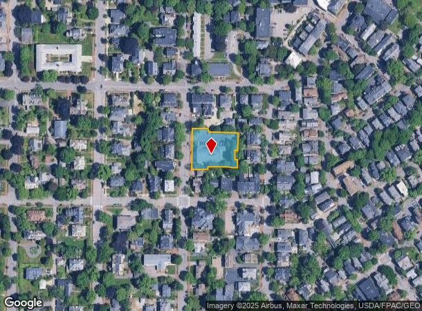
57 Neal St, Portland, ME 04102


NEARBY LISTINGS FOR SALE OR LEASE
Property Detail
57 Neal St
PTLD-000062-000000-B014001
Cumberland
Religious
Maine
X
0.68 AC
23005C0694F
West End
0
Portland/South Portland
2024
Portland-South Portland, ME
002002
DEMOGRAPHICS near 57 Neal St
1 Mile
3 Mile
5 Mile
2024 Total Population
18,042
77,396
117,073
2029 Population
18,859
79,282
120,222
Pop Growth 2024-2029
+ 4.53%
+ 2.44%
+ 2.69%
Average Age
38
41
42
2024 Total Households
9,994
36,819
53,632
HH Growth 2024-2029
+ 4.72%
+ 2.57%
+ 2.83%
Median Household Inc
$55,216
$69,318
$73,935
Avg Household Size
1.70
2.00
2.10
2024 Avg HH Vehicles
1.00
1.00
2.00
Median Home Value
$482,806
$421,314
$410,998
Median Year Built
1947
1949
1956
Nearby Places
Map Layers
Map Styles
 Street
 Aerial
- Restaurants
- Banks
- Shops
- Fitness
- Groceries
PUBLIC TRANSPORTATION
COMMUTER RAIL
DRIVE
WALK
Distance
5 min
1.6 mi
AIRPORT
Portland International Jetport
DRIVE
WALK
Distance
Portland International Jetport
10 min
3.9 mi
Freight Ports
Portland, ME
DRIVE
WALK
Distance
Portland, ME
5 min
1.8 mi
SALE & LEASE HISTORY
LISTING DATE
SALE/LEASE

Oct 03, 2024
For Sale
Nearby Properties
Address
Land Use
TOTAL SIZE
Lot Size
Zoning
Address
Land Use
TOTAL SIZE
Lot Size
Zoning
86.50 AC
Address
Land Use
TOTAL SIZE
Lot Size
Zoning
212.57 AC
Address
Land Use
TOTAL SIZE
Lot Size
Zoning
408.26 AC
Address
Land Use
TOTAL SIZE
Lot Size
Zoning
45.50 AC
Address
Land Use
TOTAL SIZE
Lot Size
Zoning
8.11 AC
Address
Land Use
TOTAL SIZE
Lot Size
Zoning
12.51 AC
Address
Land Use
TOTAL SIZE
Lot Size
Zoning
32.33 AC
Address
Land Use
TOTAL SIZE
Lot Size
Zoning
732,640 SF
Address
Land Use
TOTAL SIZE
Lot Size
Zoning
133,492 SF
27.60 AC
Address
Land Use
TOTAL SIZE
Lot Size
Zoning
114,704 SF
24.60 AC
39
Address
Land Use
TOTAL SIZE
Lot Size
Zoning
7,116 SF
34 AC
WB
Address
Land Use
TOTAL SIZE
Lot Size
Zoning
20.61 AC
TIFD
Address
Land Use
TOTAL SIZE
Lot Size
Zoning
7.51 AC
Z
Address
Land Use
TOTAL SIZE
Lot Size
Zoning
260,061 SF
1.07 AC
Address
Land Use
TOTAL SIZE
Lot Size
Zoning
24.93 AC
Address
Land Use
TOTAL SIZE
Lot Size
Zoning
103,898 SF
0.66 AC
Address
Land Use
TOTAL SIZE
Lot Size
Zoning
5.13 AC
Address
Land Use
TOTAL SIZE
Lot Size
Zoning
1.12 AC
Address
Land Use
TOTAL SIZE
Lot Size
Zoning
86,510 SF
0.81 AC
Address
Land Use
TOTAL SIZE
Lot Size
Zoning
201,630 SF
0.45 AC
Address
Land Use
TOTAL SIZE
Lot Size
Zoning
130,659 SF
0.78 AC
Address
Land Use
TOTAL SIZE
Lot Size
Zoning
25.75 AC
BON
Address
Land Use
TOTAL SIZE
Lot Size
Zoning
26,584 SF
2.79 AC
Address
Land Use
TOTAL SIZE
Lot Size
Zoning
266,228 SF
2.68 AC
Address
Land Use
TOTAL SIZE
Lot Size
Zoning
34.33 AC
Z
Address
Land Use
TOTAL SIZE
Lot Size
Zoning
238,150 SF
1.37 AC
Address
Land Use
TOTAL SIZE
Lot Size
Zoning
285,570 SF
1.37 AC
Address
Land Use
TOTAL SIZE
Lot Size
Zoning
101,619 SF
0.55 AC
Address
Land Use
TOTAL SIZE
Lot Size
Zoning
1.59 AC
Address
Land Use
TOTAL SIZE
Lot Size
Zoning
10.61 AC
Z
The World's #1 Commercial Real Estate Marketplace
Connect with us
© 2025 CoStar Group
The information above has been obtained from sources believed reliable. While we do not doubt its accuracy we have not verified it and make no guarantee, warranty or representation about it. It is your responsibility to independently confirm its accuracy and completeness. Any projections, opinions, assumptions, or estimates used are for example only and do not represent the current or future performance of the property. The value of this transaction to you depends on tax and other factors which should be evaluated by your tax, financial, and legal advisors. You and your advisors should conduct a careful, independent investigation of the property to determine to your satisfaction the suitability of the property for your needs.