Property Record
610 E 45Th St, Austin, TX 78751
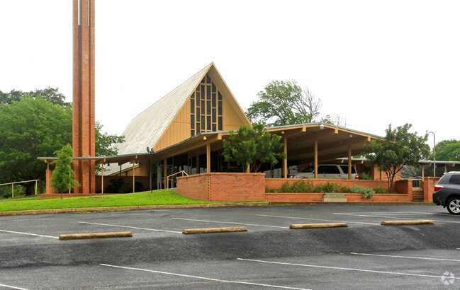


Property Detail
610 E 45Th St
Austin-Round Rock-San Marcos, TX
OLT 16 DIVISION C 3.96AC
218402
Travis
Vacantlandnec
Texas
B and X Area of moderate flood hazard, usually the area between the limits of the 100-year and 500-year floods.
3.96 AC
0
Central
2025
Austin
000304
NEARBY LISTINGS FOR SALE OR LEASE
DEMOGRAPHICS near 610 E 45Th St
1 mile
3 mile
5 mile
2025 Total Population
19,963
184,573
390,700
2030 Population
20,807
194,435
411,398
Pop Growth 2025-2030
+ 4.23%
+ 5.34%
+ 5.30%
Average Age
35
35
37
2025 Total Households
10,772
80,978
174,327
HH Growth 2025-2030
+ 4.84%
+ 6.27%
+ 6.17%
Median Household Inc
$82,465
$82,769
$88,165
Avg Household Size
1.80
2.00
2.10
2025 Avg HH Vehicles
1.00
1.00
2.00
Median Home Value
$795,087
$770,526
$771,893
Median Year Built
1975
1986
1989
Nearby Places
Map Layers
Map Styles
 Street
 Aerial
Transit
 Traffic
 Biking
Places
Listings with unknown addresses are not visible on the map
- Restaurants
- Banks
- Shops
- Fitness
- Groceries
PUBLIC TRANSPORTATION
COMMUTER RAIL
Drive
Walk
Distance
10 min
5.0 mi
AIRPORT
Austin-Bergstrom International
Drive
Walk
Distance
Austin-Bergstrom International
24 min
12.6 mi
Nearby Properties
Address
Land Use
TOTAL SIZE
Lot Size
Zoning
Address
Land Use
TOTAL SIZE
Lot Size
Zoning
1,008,789 SF
17.50 AC
Address
Land Use
TOTAL SIZE
Lot Size
Zoning
28.39 AC
Address
Land Use
TOTAL SIZE
Lot Size
Zoning
Address
Land Use
TOTAL SIZE
Lot Size
Zoning
28.62 AC
Address
Land Use
TOTAL SIZE
Lot Size
Zoning
27.17 AC
Address
Land Use
TOTAL SIZE
Lot Size
Zoning
136,900 SF
19.32 AC
Address
Land Use
TOTAL SIZE
Lot Size
Zoning
24.50 AC
Address
Land Use
TOTAL SIZE
Lot Size
Zoning
30.96 AC
Address
Land Use
TOTAL SIZE
Lot Size
Zoning
709,300 SF
0.94 AC
Address
Land Use
TOTAL SIZE
Lot Size
Zoning
18.52 AC
Address
Land Use
TOTAL SIZE
Lot Size
Zoning
74.69 AC
Address
Land Use
TOTAL SIZE
Lot Size
Zoning
789,220 SF
14.34 AC
Address
Land Use
TOTAL SIZE
Lot Size
Zoning
548,399 SF
23.82 AC
Address
Land Use
TOTAL SIZE
Lot Size
Zoning
623,000 SF
11.78 AC
Address
Land Use
TOTAL SIZE
Lot Size
Zoning
21 AC
Address
Land Use
TOTAL SIZE
Lot Size
Zoning
614,532 SF
66.07 AC
Address
Land Use
TOTAL SIZE
Lot Size
Zoning
597,500 SF
0.99 AC
Address
Land Use
TOTAL SIZE
Lot Size
Zoning
552,000 SF
1.21 AC
Address
Land Use
TOTAL SIZE
Lot Size
Zoning
Address
Land Use
TOTAL SIZE
Lot Size
Zoning
1,234 SF
96.75 AC
Address
Land Use
TOTAL SIZE
Lot Size
Zoning
95.86 AC
Address
Land Use
TOTAL SIZE
Lot Size
Zoning
483,917 SF
1.60 AC
Address
Land Use
TOTAL SIZE
Lot Size
Zoning
11.61 AC
Address
Land Use
TOTAL SIZE
Lot Size
Zoning
263,226 SF
1.43 AC
Address
Land Use
TOTAL SIZE
Lot Size
Zoning
973,370 SF
11.26 AC
Address
Land Use
TOTAL SIZE
Lot Size
Zoning
22.14 AC
Address
Land Use
TOTAL SIZE
Lot Size
Zoning
530,102 SF
1.10 AC
Address
Land Use
TOTAL SIZE
Lot Size
Zoning
11.11 AC
Address
Land Use
TOTAL SIZE
Lot Size
Zoning
328,340 SF
1.22 AC
The World's #1 Commercial Real Estate Marketplace
Connect with us
© 2026 CoStar Group
The information above has been obtained from sources believed reliable. While we do not doubt its accuracy we have not verified it and make no guarantee, warranty or representation about it. It is your responsibility to independently confirm its accuracy and completeness. Any projections, opinions, assumptions, or estimates used are for example only and do not represent the current or future performance of the property. The value of this transaction to you depends on tax and other factors which should be evaluated by your tax, financial, and legal advisors. You and your advisors should conduct a careful, independent investigation of the property to determine to your satisfaction the suitability of the property for your needs.