Property Record
6100 Quarantine Rd, Curtis Bay, MD 21226
NEARBY LISTINGS FOR SALE OR LEASE
Property Detail
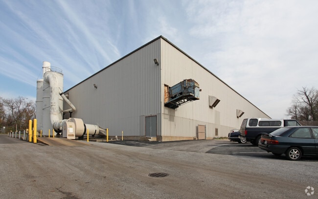
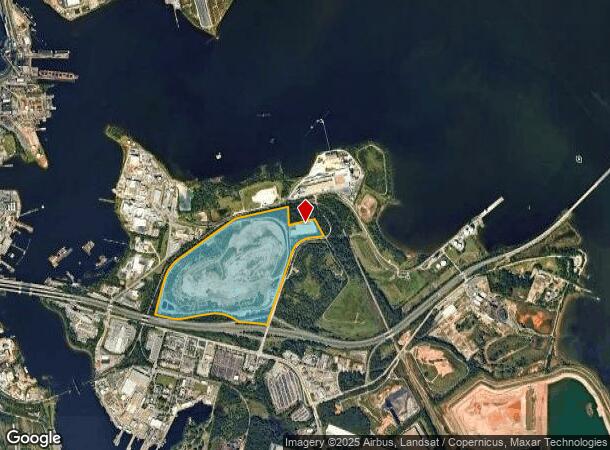
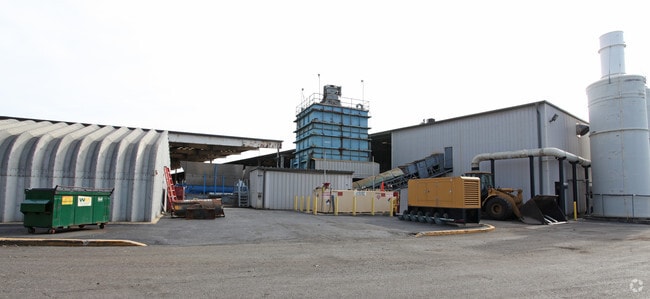
6100 Quarantine Rd
7002-001
149.044 ACRES
Officebuilding
Baltimore City
X
Maryland
2400870036G
1
2023
149.04 AC
2025
Baltimore SE
250500
Baltimore
80,208 SF
Baltimore-Columbia-Towson, MD
DEMOGRAPHICS near 6100 Quarantine Rd
1 Mile
3 Mile
5 Mile
2024 Total Population
25
25,279
164,246
2029 Population
25
25,447
163,899
Pop Growth 2024-2029
0.00%
+ 0.66%
(0.21%)
Average Age
23
36
38
2024 Total Households
6
9,380
63,164
HH Growth 2024-2029
0.00%
+ 0.63%
(0.41%)
Median Household Inc
$55,000
$69,896
$73,289
Avg Household Size
4.40
2.60
2.50
2024 Avg HH Vehicles
1.00
2.00
2.00
Median Home Value
$83,333
$283,974
$274,111
Median Year Built
1954
1971
1958
Nearby Places
Map Layers
Map Styles
 Street
 Aerial
- Restaurants
- Banks
- Shops
- Fitness
- Groceries
PUBLIC TRANSPORTATION
AIRPORT
Baltimore/Washington International Thurgood Marshall
DRIVE
WALK
Distance
Baltimore/Washington International Thurgood Marshall
19 min
10.9 mi
Freight Ports
Port of Baltimore
DRIVE
WALK
Distance
Port of Baltimore
21 min
9.0 mi
Nearby Properties
Address
Land Use
TOTAL SIZE
Lot Size
Zoning
Address
Land Use
TOTAL SIZE
Lot Size
Zoning
1,186,080 SF
456.52 AC
W3
Address
Land Use
TOTAL SIZE
Lot Size
Zoning
467.03 AC
W2
Address
Land Use
TOTAL SIZE
Lot Size
Zoning
263 AC
0M030
Address
Land Use
TOTAL SIZE
Lot Size
Zoning
512,900 SF
51.15 AC
W1
Address
Land Use
TOTAL SIZE
Lot Size
Zoning
252,911 SF
8.32 AC
R10
Address
Land Use
TOTAL SIZE
Lot Size
Zoning
111.20 AC
W3
Address
Land Use
TOTAL SIZE
Lot Size
Zoning
340,000 SF
35 AC
W1
Address
Land Use
TOTAL SIZE
Lot Size
Zoning
239,476 SF
19.02 AC
MI
Address
Land Use
TOTAL SIZE
Lot Size
Zoning
291,600 SF
14.52 AC
W2
Address
Land Use
TOTAL SIZE
Lot Size
Zoning
190,650 SF
20.80 AC
I-2
Address
Land Use
TOTAL SIZE
Lot Size
Zoning
304,404 SF
16.74 AC
W3
Address
Land Use
TOTAL SIZE
Lot Size
Zoning
119,220 SF
6.99 AC
W1
Address
Land Use
TOTAL SIZE
Lot Size
Zoning
345,088 SF
28.26 AC
W2
Address
Land Use
TOTAL SIZE
Lot Size
Zoning
351,620 SF
15.68 AC
W2
Address
Land Use
TOTAL SIZE
Lot Size
Zoning
265,423 SF
22.26 AC
MI
Address
Land Use
TOTAL SIZE
Lot Size
Zoning
674,828 SF
167.04 AC
W3
Address
Land Use
TOTAL SIZE
Lot Size
Zoning
344,254 SF
20.82 AC
W3
Address
Land Use
TOTAL SIZE
Lot Size
Zoning
155,608 SF
18.68 AC
C3
Address
Land Use
TOTAL SIZE
Lot Size
Zoning
482,600 SF
26.50 AC
I-2
Address
Land Use
TOTAL SIZE
Lot Size
Zoning
64,880 SF
5.47 AC
C-2
Address
Land Use
TOTAL SIZE
Lot Size
Zoning
34 AC
R-5
Address
Land Use
TOTAL SIZE
Lot Size
Zoning
126,300 SF
18.81 AC
C3
Address
Land Use
TOTAL SIZE
Lot Size
Zoning
223,932 SF
19.87 AC
MI
Address
Land Use
TOTAL SIZE
Lot Size
Zoning
252,000 SF
23.02 AC
I-2
Address
Land Use
TOTAL SIZE
Lot Size
Zoning
336,216 SF
19.99 AC
W1
Address
Land Use
TOTAL SIZE
Lot Size
Zoning
154,368 SF
17.01 AC
W3
Address
Land Use
TOTAL SIZE
Lot Size
Zoning
371,145 SF
17.41 AC
W1
Address
Land Use
TOTAL SIZE
Lot Size
Zoning
185,787 SF
12.60 AC
W3
Address
Land Use
TOTAL SIZE
Lot Size
Zoning
267,551 SF
11.87 AC
W2
Address
Land Use
TOTAL SIZE
Lot Size
Zoning
51,314 SF
50.08 AC
MI
The World's #1 Commercial Real Estate Marketplace
Connect with us
© 2026 CoStar Group
The information above has been obtained from sources believed reliable. While we do not doubt its accuracy we have not verified it and make no guarantee, warranty or representation about it. It is your responsibility to independently confirm its accuracy and completeness. Any projections, opinions, assumptions, or estimates used are for example only and do not represent the current or future performance of the property. The value of this transaction to you depends on tax and other factors which should be evaluated by your tax, financial, and legal advisors. You and your advisors should conduct a careful, independent investigation of the property to determine to your satisfaction the suitability of the property for your needs.