Property Record
6102 121St Ave E, Parrish, FL 34219
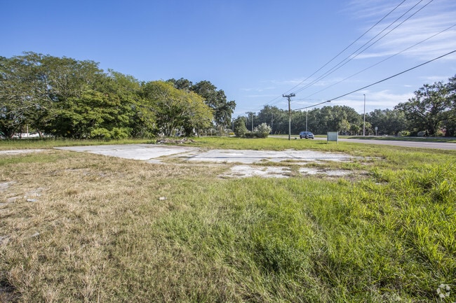


Property Detail
6102 121St Ave E
4830-0005-9
LYING AND BEING IN SEC 32, TWN 33, RNG 19: ALL THAT PART OF THE N1/2 OF N1/2 OF SE1/4 OF NW1/4 SEC 32, TWN 33S, RNG 193 (BEING TRACT NO 61), LY E OF THE CENTER OF OLD TAMPA RD AS
Medicalbuilding
MANATEE
VIL VILLAG
Florida
B and X Area of moderate flood hazard, usually the area between the limits of the 100-year and 500-year floods.
0.82 AC
2023
Manatee
2025
Tampa/St Petersburg
001911
North Port-Bradenton-Sarasota, FL
3,906 SF
NEARBY LISTINGS FOR SALE OR LEASE
DEMOGRAPHICS near 6102 121St Ave E
1 mile
3 mile
5 mile
2024 Total Population
3,480
32,581
72,011
2029 Population
3,910
37,840
83,162
Pop Growth 2024-2029
+ 12.36%
+ 16.14%
+ 15.49%
Average Age
42
43
46
2024 Total Households
1,253
11,663
27,554
HH Growth 2024-2029
+ 12.45%
+ 15.56%
+ 15.03%
Median Household Inc
$100,422
$110,459
$104,737
Avg Household Size
2.70
2.70
2.50
2024 Avg HH Vehicles
2.00
2.00
2.00
Median Home Value
$423,772
$454,301
$455,204
Median Year Built
2010
2010
2010
Nearby Places
Map Layers
Map Styles
 Street
 Aerial
Transit
 Traffic
 Biking
Places
Listings with unknown addresses are not visible on the map
- Restaurants
- Banks
- Shops
- Fitness
- Groceries
PUBLIC TRANSPORTATION
AIRPORT
Sarasota/Bradenton International
Drive
Walk
Distance
Sarasota/Bradenton International
35 min
19.2 mi
St Pete-Clearwater International
Drive
Walk
Distance
St Pete-Clearwater International
59 min
41.1 mi
Tampa International
Drive
Walk
Distance
Tampa International
64 min
43.7 mi
Freight Ports
Port Manatee
Drive
Walk
Distance
Port Manatee
21 min
12.2 mi
Nearby Properties
Address
Land Use
TOTAL SIZE
Lot Size
Zoning
Address
Land Use
TOTAL SIZE
Lot Size
Zoning
137.34 AC
Address
Land Use
TOTAL SIZE
Lot Size
Zoning
96.46 AC
Address
Land Use
TOTAL SIZE
Lot Size
Zoning
47.43 AC
Address
Land Use
TOTAL SIZE
Lot Size
Zoning
136.89 AC
Address
Land Use
TOTAL SIZE
Lot Size
Zoning
50.25 AC
Address
Land Use
TOTAL SIZE
Lot Size
Zoning
64,800 SF
8.19 AC
Address
Land Use
TOTAL SIZE
Lot Size
Zoning
66,063 SF
9.24 AC
PD-C
Address
Land Use
TOTAL SIZE
Lot Size
Zoning
43,464 SF
14.47 AC
VIL VILLAG
Address
Land Use
TOTAL SIZE
Lot Size
Zoning
190.90 AC
PD-R
Address
Land Use
TOTAL SIZE
Lot Size
Zoning
43.81 AC
Address
Land Use
TOTAL SIZE
Lot Size
Zoning
50,580 SF
5.97 AC
Address
Land Use
TOTAL SIZE
Lot Size
Zoning
53,851 SF
6.32 AC
Address
Land Use
TOTAL SIZE
Lot Size
Zoning
30,101 SF
13.44 AC
PD-C
Address
Land Use
TOTAL SIZE
Lot Size
Zoning
76.98 AC
Address
Land Use
TOTAL SIZE
Lot Size
Zoning
36,700 SF
17 AC
A-1 SUBURB
Address
Land Use
TOTAL SIZE
Lot Size
Zoning
109.06 AC
Address
Land Use
TOTAL SIZE
Lot Size
Zoning
3.11 AC
Address
Land Use
TOTAL SIZE
Lot Size
Zoning
4.07 AC
Address
Land Use
TOTAL SIZE
Lot Size
Zoning
53,448 SF
3 AC
PD-C
Address
Land Use
TOTAL SIZE
Lot Size
Zoning
44.29 AC
Address
Land Use
TOTAL SIZE
Lot Size
Zoning
25,842 SF
3.92 AC
Address
Land Use
TOTAL SIZE
Lot Size
Zoning
9,806 SF
4.04 AC
VIL VILLAG
Address
Land Use
TOTAL SIZE
Lot Size
Zoning
17,677 SF
9.52 AC
A-1 SUBURB
Address
Land Use
TOTAL SIZE
Lot Size
Zoning
113.80 AC
Address
Land Use
TOTAL SIZE
Lot Size
Zoning
13.62 AC
PD-R
Address
Land Use
TOTAL SIZE
Lot Size
Zoning
7.54 AC
Address
Land Use
TOTAL SIZE
Lot Size
Zoning
293,048 SF
42.24 AC
A-1 SUBURB
Address
Land Use
TOTAL SIZE
Lot Size
Zoning
10,303 SF
1.26 AC
PD-MU
Address
Land Use
TOTAL SIZE
Lot Size
Zoning
0.15 AC
PDR
Address
Land Use
TOTAL SIZE
Lot Size
Zoning
1,412 SF
2.16 AC
PD-R
The World's #1 Commercial Real Estate Marketplace
Connect with us
© 2026 CoStar Group
The information above has been obtained from sources believed reliable. While we do not doubt its accuracy we have not verified it and make no guarantee, warranty or representation about it. It is your responsibility to independently confirm its accuracy and completeness. Any projections, opinions, assumptions, or estimates used are for example only and do not represent the current or future performance of the property. The value of this transaction to you depends on tax and other factors which should be evaluated by your tax, financial, and legal advisors. You and your advisors should conduct a careful, independent investigation of the property to determine to your satisfaction the suitability of the property for your needs.