Property Record
6125 Urbana Rd, Springfield, OH 45502
NEARBY LISTINGS FOR SALE OR LEASE
-
-
View all Springfield listings for sale on LoopNet.com
Property Detail
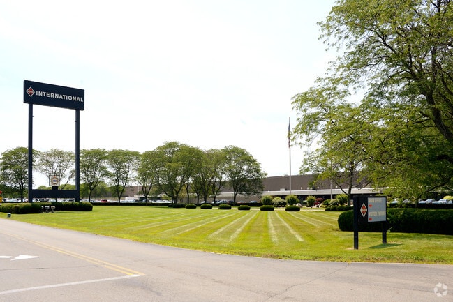
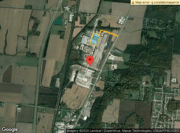
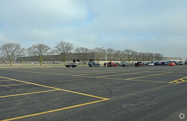
6125 Urbana Rd
22-00300-03520-0027
PT N E QR
Heavyindustrial
Clark
X
Ohio
39023C0070E
27
2024
12.99 AC
2025
Northeast Dayton
002605
Cincinnati/Dayton
118,600 SF
Springfield, OH
DEMOGRAPHICS near 6125 Urbana Rd
1 Mile
3 Mile
5 Mile
2024 Total Population
496
10,528
29,163
2029 Population
489
10,353
28,701
Pop Growth 2024-2029
(1.41%)
(1.66%)
(1.58%)
Average Age
47
45
45
2024 Total Households
199
4,552
12,865
HH Growth 2024-2029
(1.51%)
(1.65%)
(1.61%)
Median Household Inc
$63,482
$74,166
$64,864
Avg Household Size
2.30
2.30
2.20
2024 Avg HH Vehicles
2.00
2.00
2.00
Median Home Value
$161,363
$161,845
$166,217
Median Year Built
1991
1976
1974
Nearby Places
Map Layers
Map Styles
 Street
 Aerial
- Restaurants
- Banks
- Shops
- Fitness
- Groceries
PUBLIC TRANSPORTATION
AIRPORT
James M Cox Dayton International
DRIVE
WALK
Distance
James M Cox Dayton International
41 min
31.7 mi
Freight Ports
Port of Toledo
DRIVE
WALK
Distance
Port of Toledo
178 min
123.5 mi
Nearby Properties
Address
Land Use
TOTAL SIZE
Lot Size
Zoning
Address
Land Use
TOTAL SIZE
Lot Size
Zoning
3,360 SF
96.84 AC
Address
Land Use
TOTAL SIZE
Lot Size
Zoning
1,582 SF
42.13 AC
Address
Land Use
TOTAL SIZE
Lot Size
Zoning
1,667,526 SF
104.07 AC
I-1
Address
Land Use
TOTAL SIZE
Lot Size
Zoning
48,514 SF
9.72 AC
R-4S
Address
Land Use
TOTAL SIZE
Lot Size
Zoning
62,085 SF
6.05 AC
A-1
Address
Land Use
TOTAL SIZE
Lot Size
Zoning
28,228 SF
7.47 AC
A-1
Address
Land Use
TOTAL SIZE
Lot Size
Zoning
521,780 SF
206.66 AC
I-1
Address
Land Use
TOTAL SIZE
Lot Size
Zoning
120,870 SF
16.37 AC
Address
Land Use
TOTAL SIZE
Lot Size
Zoning
64,600 SF
15.08 AC
I-1
Address
Land Use
TOTAL SIZE
Lot Size
Zoning
129,148 SF
8.82 AC
I-1
Address
Land Use
TOTAL SIZE
Lot Size
Zoning
10,400 SF
4.57 AC
R-4
Address
Land Use
TOTAL SIZE
Lot Size
Zoning
113,780 SF
5.33 AC
A-1
Address
Land Use
TOTAL SIZE
Lot Size
Zoning
48,000 SF
43.44 AC
Address
Land Use
TOTAL SIZE
Lot Size
Zoning
211.72 AC
PD-M
Address
Land Use
TOTAL SIZE
Lot Size
Zoning
2,648 SF
174.76 AC
I-1
Address
Land Use
TOTAL SIZE
Lot Size
Zoning
42,516 SF
3 AC
R4
Address
Land Use
TOTAL SIZE
Lot Size
Zoning
2,563 SF
41.27 AC
Address
Land Use
TOTAL SIZE
Lot Size
Zoning
169.12 AC
A-1
Address
Land Use
TOTAL SIZE
Lot Size
Zoning
20,412 SF
3.06 AC
B-1
Address
Land Use
TOTAL SIZE
Lot Size
Zoning
14,740 SF
59.06 AC
B-4
Address
Land Use
TOTAL SIZE
Lot Size
Zoning
151.07 AC
A-1
Address
Land Use
TOTAL SIZE
Lot Size
Zoning
7,540 SF
102.54 AC
A-1
Address
Land Use
TOTAL SIZE
Lot Size
Zoning
72,345 SF
4 AC
I-1
Address
Land Use
TOTAL SIZE
Lot Size
Zoning
159.22 AC
I-1
Address
Land Use
TOTAL SIZE
Lot Size
Zoning
149.94 AC
Address
Land Use
TOTAL SIZE
Lot Size
Zoning
832 SF
128.83 AC
A-1
Address
Land Use
TOTAL SIZE
Lot Size
Zoning
2,092 SF
136.41 AC
A-1
Address
Land Use
TOTAL SIZE
Lot Size
Zoning
2,096 SF
126.33 AC
R-2
Address
Land Use
TOTAL SIZE
Lot Size
Zoning
6,608 SF
9.47 AC
The World's #1 Commercial Real Estate Marketplace
Connect with us
© 2025 CoStar Group
The information above has been obtained from sources believed reliable. While we do not doubt its accuracy we have not verified it and make no guarantee, warranty or representation about it. It is your responsibility to independently confirm its accuracy and completeness. Any projections, opinions, assumptions, or estimates used are for example only and do not represent the current or future performance of the property. The value of this transaction to you depends on tax and other factors which should be evaluated by your tax, financial, and legal advisors. You and your advisors should conduct a careful, independent investigation of the property to determine to your satisfaction the suitability of the property for your needs.