Property Record
615 7Th Ave, Bowling Green, KY 42101
NEARBY LISTINGS FOR SALE OR LEASE
Property Detail
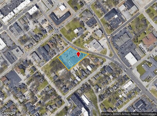
615 7Th Ave
039A-03-131A
Minor Subdivision
Medicalbuilding
Warren
X
Kentucky
21227C0306E
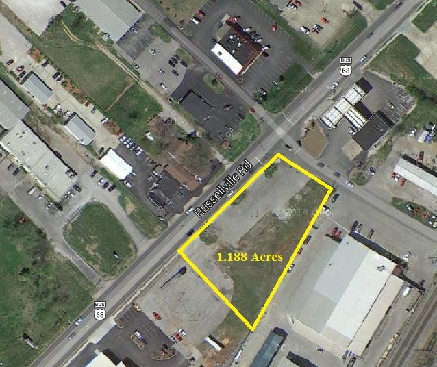
1.11 AC
2025
Downtown Bowling Green
2025
Other Market Areas
010200
Bowling Green, KY
13,522 SF
DEMOGRAPHICS near 615 7Th Ave
1 Mile
3 Mile
5 Mile
2024 Total Population
11,374
48,835
90,113
2029 Population
12,526
53,526
99,119
Pop Growth 2024-2029
+ 10.13%
+ 9.61%
+ 9.99%
Average Age
34
35
35
2024 Total Households
4,512
18,997
35,334
HH Growth 2024-2029
+ 11.44%
+ 10.48%
+ 10.70%
Median Household Inc
$31,412
$41,052
$47,320
Avg Household Size
2.00
2.20
2.30
2024 Avg HH Vehicles
1.00
2.00
2.00
Median Home Value
$176,379
$199,544
$210,895
Median Year Built
1966
1981
1989
Nearby Places
Map Layers
Map Styles
 Street
 Aerial
- Restaurants
- Banks
- Shops
- Fitness
- Groceries
SALE & LEASE HISTORY
LISTING DATE
SALE/LEASE

Sep 23, 2016
For Sale
Nearby Properties
Address
Land Use
TOTAL SIZE
Lot Size
Zoning
Address
Land Use
TOTAL SIZE
Lot Size
Zoning
15,440 SF
16.52 AC
Address
Land Use
TOTAL SIZE
Lot Size
Zoning
117,551 SF
5.06 AC
Address
Land Use
TOTAL SIZE
Lot Size
Zoning
12.29 AC
Address
Land Use
TOTAL SIZE
Lot Size
Zoning
261,579 SF
17.71 AC
Address
Land Use
TOTAL SIZE
Lot Size
Zoning
Address
Land Use
TOTAL SIZE
Lot Size
Zoning
150,327 SF
2.54 AC
Address
Land Use
TOTAL SIZE
Lot Size
Zoning
175,830 SF
8 AC
Address
Land Use
TOTAL SIZE
Lot Size
Zoning
39,504 SF
19.74 AC
Address
Land Use
TOTAL SIZE
Lot Size
Zoning
36,984 SF
7.26 AC
Address
Land Use
TOTAL SIZE
Lot Size
Zoning
105,987 SF
7.98 AC
Address
Land Use
TOTAL SIZE
Lot Size
Zoning
93,730 SF
4.05 AC
Address
Land Use
TOTAL SIZE
Lot Size
Zoning
100,193 SF
9.82 AC
Address
Land Use
TOTAL SIZE
Lot Size
Zoning
40.04 AC
Address
Land Use
TOTAL SIZE
Lot Size
Zoning
19.61 AC
Address
Land Use
TOTAL SIZE
Lot Size
Zoning
142,199 SF
12.95 AC
Address
Land Use
TOTAL SIZE
Lot Size
Zoning
192,994 SF
22.55 AC
Address
Land Use
TOTAL SIZE
Lot Size
Zoning
214,273 SF
26.97 AC
Address
Land Use
TOTAL SIZE
Lot Size
Zoning
6.55 AC
Address
Land Use
TOTAL SIZE
Lot Size
Zoning
54.74 AC
Address
Land Use
TOTAL SIZE
Lot Size
Zoning
96,696 SF
9.69 AC
Address
Land Use
TOTAL SIZE
Lot Size
Zoning
Address
Land Use
TOTAL SIZE
Lot Size
Zoning
Address
Land Use
TOTAL SIZE
Lot Size
Zoning
Address
Land Use
TOTAL SIZE
Lot Size
Zoning
17,010 SF
9.64 AC
Address
Land Use
TOTAL SIZE
Lot Size
Zoning
2,946 SF
3.59 AC
Address
Land Use
TOTAL SIZE
Lot Size
Zoning
77,160 SF
3.05 AC
Address
Land Use
TOTAL SIZE
Lot Size
Zoning
41,192 SF
6 AC
Address
Land Use
TOTAL SIZE
Lot Size
Zoning
89,129 SF
49.26 AC
Address
Land Use
TOTAL SIZE
Lot Size
Zoning
38,782 SF
4.05 AC
Address
Land Use
TOTAL SIZE
Lot Size
Zoning
176,450 SF
18.60 AC
The World's #1 Commercial Real Estate Marketplace
Connect with us
© 2025 CoStar Group
The information above has been obtained from sources believed reliable. While we do not doubt its accuracy we have not verified it and make no guarantee, warranty or representation about it. It is your responsibility to independently confirm its accuracy and completeness. Any projections, opinions, assumptions, or estimates used are for example only and do not represent the current or future performance of the property. The value of this transaction to you depends on tax and other factors which should be evaluated by your tax, financial, and legal advisors. You and your advisors should conduct a careful, independent investigation of the property to determine to your satisfaction the suitability of the property for your needs.