Property Record
6150 E 75Th St, Indianapolis, IN 46250
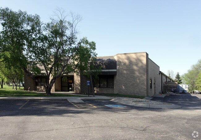


Property Detail
6150 E 75Th St
49-02-27-128-002.000-400
PT NW1/4 S27 T17 R4 BEG 100 N OF SE COR P.O.B. W26.65 SW96.57 W367.18 NE55.97 NERLY642.85 S466.10 TO BEG 2.519 AC
Industrialgeneral
Marion
ZO01
Indiana
B and X Area of moderate flood hazard, usually the area between the limits of the 100-year and 500-year floods.
2.52 AC
2024
Castleton
2025
Indianapolis
330105
Indianapolis-Carmel-Greenwood, IN
20,092 SF
NEARBY LISTINGS FOR SALE OR LEASE
DEMOGRAPHICS near 6150 E 75Th St
1 mile
3 mile
5 mile
2025 Total Population
7,115
54,870
184,666
2030 Population
7,114
55,169
187,873
Pop Growth 2025-2030
(0.01%)
+ 0.54%
+ 1.74%
Average Age
38
40
39
2025 Total Households
3,148
26,135
81,946
HH Growth 2025-2030
+ 0.16%
+ 0.65%
+ 1.72%
Median Household Inc
$74,765
$75,075
$74,311
Avg Household Size
2.20
2.10
2.20
2025 Avg HH Vehicles
2.00
2.00
2.00
Median Home Value
$390,955
$308,667
$315,951
Median Year Built
1974
1981
1978
Nearby Places
Map Layers
Map Styles
 Street
 Aerial
Layers
 Traffic
 Biking
Places
Listings with unknown addresses are not visible on the map
- Restaurants
- Banks
- Shops
- Fitness
- Groceries
PUBLIC TRANSPORTATION
AIRPORT
Indianapolis International
Drive
Walk
Distance
Indianapolis International
44 min
25.1 mi
Nearby Properties
Address
Land Use
TOTAL SIZE
Lot Size
Zoning
Address
Land Use
TOTAL SIZE
Lot Size
Zoning
366,825 SF
26.60 AC
ZO01
Address
Land Use
TOTAL SIZE
Lot Size
Zoning
16,704 SF
109.83 AC
ZO01
Address
Land Use
TOTAL SIZE
Lot Size
Zoning
8,551 SF
45.92 AC
ZO01
Address
Land Use
TOTAL SIZE
Lot Size
Zoning
22,081 SF
27.39 AC
ZO01
Address
Land Use
TOTAL SIZE
Lot Size
Zoning
4,246 SF
89.83 AC
ZO01
Address
Land Use
TOTAL SIZE
Lot Size
Zoning
10,911 SF
11.56 AC
ZO01
Address
Land Use
TOTAL SIZE
Lot Size
Zoning
21,742 SF
39.35 AC
ZO01
Address
Land Use
TOTAL SIZE
Lot Size
Zoning
5,314 SF
13.92 AC
ZO01
Address
Land Use
TOTAL SIZE
Lot Size
Zoning
107,078 SF
15.66 AC
ZO01
Address
Land Use
TOTAL SIZE
Lot Size
Zoning
288 SF
7.35 AC
ZO01
Address
Land Use
TOTAL SIZE
Lot Size
Zoning
1,904 SF
67.93 AC
ZO01
Address
Land Use
TOTAL SIZE
Lot Size
Zoning
8,157 SF
113.93 AC
ZO01
Address
Land Use
TOTAL SIZE
Lot Size
Zoning
6,229 SF
36.20 AC
ZO01
Address
Land Use
TOTAL SIZE
Lot Size
Zoning
6,252 SF
52.04 AC
ZO01
Address
Land Use
TOTAL SIZE
Lot Size
Zoning
3,053 SF
10.33 AC
ZO01
Address
Land Use
TOTAL SIZE
Lot Size
Zoning
6,366 SF
19.32 AC
ZO01
Address
Land Use
TOTAL SIZE
Lot Size
Zoning
127,922 SF
3.35 AC
ZO01
Address
Land Use
TOTAL SIZE
Lot Size
Zoning
5,149 SF
10.56 AC
ZO01
Address
Land Use
TOTAL SIZE
Lot Size
Zoning
24,192 SF
5.93 AC
Address
Land Use
TOTAL SIZE
Lot Size
Zoning
143,890 SF
37.81 AC
ZO01
Address
Land Use
TOTAL SIZE
Lot Size
Zoning
91,717 SF
37.30 AC
Address
Land Use
TOTAL SIZE
Lot Size
Zoning
23,452 SF
14.94 AC
ZO01
Address
Land Use
TOTAL SIZE
Lot Size
Zoning
24,112 SF
5.22 AC
ZO01
Address
Land Use
TOTAL SIZE
Lot Size
Zoning
151,823 SF
57.55 AC
ZO01
Address
Land Use
TOTAL SIZE
Lot Size
Zoning
293,429 SF
25.88 AC
ZO01
Address
Land Use
TOTAL SIZE
Lot Size
Zoning
138,637 SF
0.06 AC
Address
Land Use
TOTAL SIZE
Lot Size
Zoning
93,480 SF
3.40 AC
ZO01
Address
Land Use
TOTAL SIZE
Lot Size
Zoning
182,545 SF
11.87 AC
ZO01
Address
Land Use
TOTAL SIZE
Lot Size
Zoning
15,012 SF
4.43 AC
Address
Land Use
TOTAL SIZE
Lot Size
Zoning
131,443 SF
13.87 AC
ZO01
The World's #1 Commercial Real Estate Marketplace
Connect with us
© 2026 CoStar Group
The information above has been obtained from sources believed reliable. While we do not doubt its accuracy we have not verified it and make no guarantee, warranty or representation about it. It is your responsibility to independently confirm its accuracy and completeness. Any projections, opinions, assumptions, or estimates used are for example only and do not represent the current or future performance of the property. The value of this transaction to you depends on tax and other factors which should be evaluated by your tax, financial, and legal advisors. You and your advisors should conduct a careful, independent investigation of the property to determine to your satisfaction the suitability of the property for your needs.