Property Record
618 Kalana Ave, Morgan Hill, CA 95037
NEARBY LISTINGS FOR SALE OR LEASE
Property Detail
618 Kalana Ave
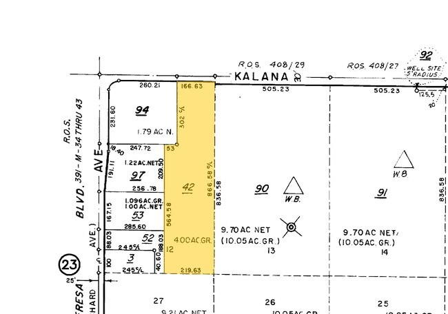
712-06-042
Murphy Colombet Subdivision Unit #1
Agriculturalland
Santa Clara
AE
California
06085C0437H
4 AC
2024
South San Jose
2025
South Bay/San Jose
512100
San Jose-Sunnyvale-Santa Clara, CA
DEMOGRAPHICS near 618 Kalana Ave
1 Mile
3 Mile
5 Mile
2024 Total Population
337
3,353
29,387
2029 Population
304
3,136
28,132
Pop Growth 2024-2029
(9.79%)
(6.47%)
(4.27%)
Average Age
42
41
40
2024 Total Households
92
1,039
9,337
HH Growth 2024-2029
(9.78%)
(6.54%)
(4.49%)
Median Household Inc
$98,610
$119,495
$140,918
Avg Household Size
3.30
3.10
3.10
2024 Avg HH Vehicles
3.00
2.00
2.00
Median Home Value
$1,125,000
$1,053,478
$1,023,972
Median Year Built
1977
1983
1984
Nearby Places
Map Layers
Map Styles
 Street
 Aerial
- Restaurants
- Banks
- Shops
- Fitness
- Groceries
PUBLIC TRANSPORTATION
COMMUTER RAIL
Morgan Hill Caltrain Station Southbound (South Santa Clara County Connector - Caltrain (Caltrain))
DRIVE
WALK
Distance
Morgan Hill Caltrain Station Southbound (South Santa Clara County Connector - Caltrain (Caltrain))
10 min
5.1 mi
Morgan Hill (Caltrain - Caltrain (Caltrain))
DRIVE
WALK
Distance
Morgan Hill (Caltrain - Caltrain (Caltrain))
10 min
5.2 mi
AIRPORT
Norman Y Mineta San Jose International
DRIVE
WALK
Distance
Norman Y Mineta San Jose International
29 min
21.7 mi
Freight Ports
Port of Redwood City
DRIVE
WALK
Distance
Port of Redwood City
50 min
39.8 mi
Nearby Properties
Address
Land Use
TOTAL SIZE
Lot Size
Zoning
Address
Land Use
TOTAL SIZE
Lot Size
Zoning
620,000 SF
200.12 AC
A--PD
Address
Land Use
TOTAL SIZE
Lot Size
Zoning
7.53 AC
CT
Address
Land Use
TOTAL SIZE
Lot Size
Zoning
400 SF
756.21 AC
A(PD)
Address
Land Use
TOTAL SIZE
Lot Size
Zoning
4,734 SF
20.32 AC
PVD
Address
Land Use
TOTAL SIZE
Lot Size
Zoning
108,631 SF
13.90 AC
A-20A
Address
Land Use
TOTAL SIZE
Lot Size
Zoning
584 SF
21.16 AC
PUD
Address
Land Use
TOTAL SIZE
Lot Size
Zoning
14,322 SF
34.37 AC
HS
Address
Land Use
TOTAL SIZE
Lot Size
Zoning
132.94 AC
A
Address
Land Use
TOTAL SIZE
Lot Size
Zoning
3.06 AC
R1B1
Address
Land Use
TOTAL SIZE
Lot Size
Zoning
14.16 AC
SS-2
Address
Land Use
TOTAL SIZE
Lot Size
Zoning
8.08 AC
A-40A
Address
Land Use
TOTAL SIZE
Lot Size
Zoning
16,233 SF
118 AC
A(PD)
Address
Land Use
TOTAL SIZE
Lot Size
Zoning
15,895 SF
138.61 AC
A-40A
Address
Land Use
TOTAL SIZE
Lot Size
Zoning
36.87 AC
A-40A
Address
Land Use
TOTAL SIZE
Lot Size
Zoning
46.86 AC
A
Address
Land Use
TOTAL SIZE
Lot Size
Zoning
75,873 SF
11.48 AC
A-40A
Address
Land Use
TOTAL SIZE
Lot Size
Zoning
1.99 AC
A-40A
Address
Land Use
TOTAL SIZE
Lot Size
Zoning
79.35 AC
A-40A
Address
Land Use
TOTAL SIZE
Lot Size
Zoning
14.63 AC
A-40
Address
Land Use
TOTAL SIZE
Lot Size
Zoning
25.23 AC
A-40A
Address
Land Use
TOTAL SIZE
Lot Size
Zoning
66.60 AC
A-40A
Address
Land Use
TOTAL SIZE
Lot Size
Zoning
66.05 AC
A-40A
Address
Land Use
TOTAL SIZE
Lot Size
Zoning
42.67 AC
A
Address
Land Use
TOTAL SIZE
Lot Size
Zoning
60 AC
A-40A
Address
Land Use
TOTAL SIZE
Lot Size
Zoning
35.68 AC
A-PD
Address
Land Use
TOTAL SIZE
Lot Size
Zoning
75 AC
A
Address
Land Use
TOTAL SIZE
Lot Size
Zoning
50.49 AC
A-40A
Address
Land Use
TOTAL SIZE
Lot Size
Zoning
44.61 AC
R1-1
Address
Land Use
TOTAL SIZE
Lot Size
Zoning
14.23 AC
A-40A
The World's #1 Commercial Real Estate Marketplace
Connect with us
© 2026 CoStar Group
The information above has been obtained from sources believed reliable. While we do not doubt its accuracy we have not verified it and make no guarantee, warranty or representation about it. It is your responsibility to independently confirm its accuracy and completeness. Any projections, opinions, assumptions, or estimates used are for example only and do not represent the current or future performance of the property. The value of this transaction to you depends on tax and other factors which should be evaluated by your tax, financial, and legal advisors. You and your advisors should conduct a careful, independent investigation of the property to determine to your satisfaction the suitability of the property for your needs.