Property Record
6180 Roselle Ave, Riverbank, CA 95367


NEARBY LISTINGS FOR SALE OR LEASE
-
-
View all Riverbank listings for sale on LoopNet.com
Property Detail
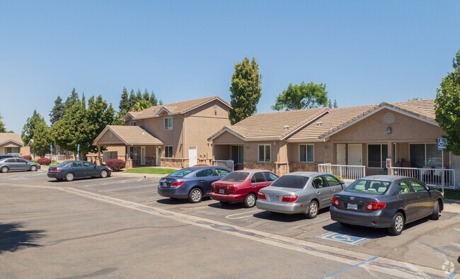
6180 Roselle Ave
132-38-31
Riverbank Acreage Parcel1
Warehouse
Stanislaus
X
California
06077C0830F
8.53 AC
2025
Riverbank
2025
Stockton/Modesto
000303
Modesto, CA
200,000 SF
DEMOGRAPHICS near 6180 Roselle Ave
1 mile
3 mile
5 mile
2024 Total Population
19,225
35,633
128,842
2029 Population
19,185
35,661
129,187
Pop Growth 2024-2029
(0.21%)
+ 0.08%
+ 0.27%
Average Age
36
37
38
2024 Total Households
5,574
10,932
44,155
HH Growth 2024-2029
(0.23%)
+ 0.07%
+ 0.24%
Median Household Inc
$74,840
$90,418
$85,066
Avg Household Size
3.40
3.20
2.90
2024 Avg HH Vehicles
2.00
2.00
2.00
Median Home Value
$391,799
$428,073
$434,212
Median Year Built
1992
1993
1983
Nearby Places
Map Layers
Map Styles
 Street
 Aerial
Transit
 Traffic
 Biking
Places
Listings with unknown addresses are not visible on the map
- Restaurants
- Banks
- Shops
- Fitness
- Groceries
PUBLIC TRANSPORTATION
COMMUTER RAIL
Modesto (San Joaquins - Amtrak)
Drive
Walk
Distance
Modesto (San Joaquins - Amtrak)
12 min
6.0 mi
AIRPORT
Stockton Metro
Drive
Walk
Distance
Stockton Metro
39 min
27.5 mi
Freight Ports
Port of Stockton
Drive
Walk
Distance
Port of Stockton
48 min
36.0 mi
Nearby Properties
Address
Land Use
TOTAL SIZE
Lot Size
Zoning
Address
Land Use
TOTAL SIZE
Lot Size
Zoning
15.68 AC
RIVPD
Address
Land Use
TOTAL SIZE
Lot Size
Zoning
186,665 SF
10.22 AC
Address
Land Use
TOTAL SIZE
Lot Size
Zoning
123,575 SF
10 AC
PC
Address
Land Use
TOTAL SIZE
Lot Size
Zoning
60,156 SF
16.20 AC
Address
Land Use
TOTAL SIZE
Lot Size
Zoning
72,338 SF
5.98 AC
RIVC1
Address
Land Use
TOTAL SIZE
Lot Size
Zoning
9,000 SF
0.92 AC
Address
Land Use
TOTAL SIZE
Lot Size
Zoning
140,669 SF
10.96 AC
PC
Address
Land Use
TOTAL SIZE
Lot Size
Zoning
77,578 SF
7.93 AC
Address
Land Use
TOTAL SIZE
Lot Size
Zoning
56,265 SF
4.94 AC
MODPD
Address
Land Use
TOTAL SIZE
Lot Size
Zoning
117,959 SF
5.06 AC
MODSP
Address
Land Use
TOTAL SIZE
Lot Size
Zoning
37.92 AC
Address
Land Use
TOTAL SIZE
Lot Size
Zoning
83,987 SF
4.59 AC
RIVR3
Address
Land Use
TOTAL SIZE
Lot Size
Zoning
88,274 SF
6.32 AC
PC
Address
Land Use
TOTAL SIZE
Lot Size
Zoning
28,560 SF
9.62 AC
Address
Land Use
TOTAL SIZE
Lot Size
Zoning
85,218 SF
3.51 AC
Address
Land Use
TOTAL SIZE
Lot Size
Zoning
57,760 SF
4.89 AC
PC
Address
Land Use
TOTAL SIZE
Lot Size
Zoning
146 SF
20.13 AC
Address
Land Use
TOTAL SIZE
Lot Size
Zoning
465,061 SF
26.66 AC
CERM1
Address
Land Use
TOTAL SIZE
Lot Size
Zoning
2,201 SF
0.61 AC
Address
Land Use
TOTAL SIZE
Lot Size
Zoning
369.73 AC
Address
Land Use
TOTAL SIZE
Lot Size
Zoning
42,000 SF
2.84 AC
Address
Land Use
TOTAL SIZE
Lot Size
Zoning
20,623 SF
18.05 AC
Address
Land Use
TOTAL SIZE
Lot Size
Zoning
71,339 SF
4.26 AC
R3
Address
Land Use
TOTAL SIZE
Lot Size
Zoning
148,750 SF
11.88 AC
Address
Land Use
TOTAL SIZE
Lot Size
Zoning
1,620 SF
299.40 AC
A240
Address
Land Use
TOTAL SIZE
Lot Size
Zoning
124,025 SF
7.51 AC
Address
Land Use
TOTAL SIZE
Lot Size
Zoning
68,680 SF
3.35 AC
Address
Land Use
TOTAL SIZE
Lot Size
Zoning
12,040 SF
1.35 AC
PC
Address
Land Use
TOTAL SIZE
Lot Size
Zoning
9,445 SF
19 AC
The World's #1 Commercial Real Estate Marketplace
Connect with us
© 2026 CoStar Group
The information above has been obtained from sources believed reliable. While we do not doubt its accuracy we have not verified it and make no guarantee, warranty or representation about it. It is your responsibility to independently confirm its accuracy and completeness. Any projections, opinions, assumptions, or estimates used are for example only and do not represent the current or future performance of the property. The value of this transaction to you depends on tax and other factors which should be evaluated by your tax, financial, and legal advisors. You and your advisors should conduct a careful, independent investigation of the property to determine to your satisfaction the suitability of the property for your needs.