Property Record
620 W Superior Rd, White Oak, TX 75693


Property Detail
620 W Superior Rd
13380
AB 38 W H CASTLEBERRY SUR TRS 137-11; 137-12 & 137-27 SEC 8 & AB 153 J MOSELEY SUR TRS 5-02 & 6
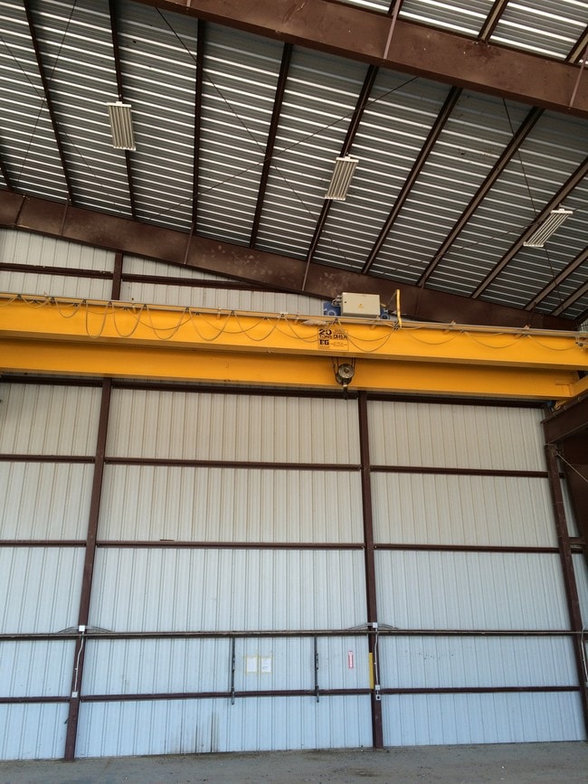
Industrialgeneral
Gregg
B and X Area of moderate flood hazard, usually the area between the limits of the 100-year and 500-year floods.
Texas
2024
137-11
2025
23.88 AC
010201
Other Market Areas
5,100 SF
Longview, TX
NEARBY LISTINGS FOR SALE OR LEASE
DEMOGRAPHICS near 620 W Superior Rd
1 mile
3 mile
5 mile
2025 Total Population
274
6,651
32,474
2030 Population
285
6,818
33,209
Pop Growth 2025-2030
+ 4.01%
+ 2.51%
+ 2.26%
Average Age
42
38
37
2025 Total Households
102
2,471
11,917
HH Growth 2025-2030
+ 3.92%
+ 2.59%
+ 2.29%
Median Household Inc
$58,571
$74,721
$65,581
Avg Household Size
2.70
2.70
2.60
2025 Avg HH Vehicles
2.00
2.00
2.00
Median Home Value
$166,666
$210,856
$186,659
Median Year Built
1991
1978
1976
Nearby Places
Map Layers
Map Styles
 Street
 Aerial
Layers
 Traffic
 Biking
Places
Listings with unknown addresses are not visible on the map
- Restaurants
- Banks
- Shops
- Fitness
- Groceries
PUBLIC TRANSPORTATION
COMMUTER RAIL
Longview (Texas Eagle - Amtrak)
Drive
Walk
Distance
Longview (Texas Eagle - Amtrak)
17 min
9.8 mi
Freight Ports
Port of Shreveport
Drive
Walk
Distance
Port of Shreveport
99 min
84.2 mi
SALE & LEASE HISTORY
LISTING DATE
SALE/LEASE

Sep 25, 2016
For Lease
Sep 24, 2016
For Sale
Nearby Properties
Address
Land Use
TOTAL SIZE
Lot Size
Zoning
Address
Land Use
TOTAL SIZE
Lot Size
Zoning
72,042 SF
63.78 AC
Address
Land Use
TOTAL SIZE
Lot Size
Zoning
3,456 SF
29.30 AC
Address
Land Use
TOTAL SIZE
Lot Size
Zoning
184,032 SF
38.95 AC
Address
Land Use
TOTAL SIZE
Lot Size
Zoning
65,724 SF
5.21 AC
Address
Land Use
TOTAL SIZE
Lot Size
Zoning
21,420 SF
18.67 AC
Address
Land Use
TOTAL SIZE
Lot Size
Zoning
275,669 SF
47.27 AC
Address
Land Use
TOTAL SIZE
Lot Size
Zoning
480 SF
37.15 AC
D
Address
Land Use
TOTAL SIZE
Lot Size
Zoning
2,263 SF
2.02 AC
Address
Land Use
TOTAL SIZE
Lot Size
Zoning
5,248 SF
4 AC
Address
Land Use
TOTAL SIZE
Lot Size
Zoning
5,000 SF
3.91 AC
A
Address
Land Use
TOTAL SIZE
Lot Size
Zoning
60,165 SF
29.52 AC
Address
Land Use
TOTAL SIZE
Lot Size
Zoning
6,459 SF
43.30 AC
Address
Land Use
TOTAL SIZE
Lot Size
Zoning
2.75 AC
Address
Land Use
TOTAL SIZE
Lot Size
Zoning
6,325 SF
5.76 AC
Address
Land Use
TOTAL SIZE
Lot Size
Zoning
29,902 SF
4.93 AC
Address
Land Use
TOTAL SIZE
Lot Size
Zoning
2,400 SF
7.65 AC
Address
Land Use
TOTAL SIZE
Lot Size
Zoning
263.82 AC
Address
Land Use
TOTAL SIZE
Lot Size
Zoning
17,084 SF
2.37 AC
Address
Land Use
TOTAL SIZE
Lot Size
Zoning
6,690 SF
132.40 AC
Address
Land Use
TOTAL SIZE
Lot Size
Zoning
14,100 SF
3.96 AC
Address
Land Use
TOTAL SIZE
Lot Size
Zoning
16,793 SF
2.50 AC
Address
Land Use
TOTAL SIZE
Lot Size
Zoning
10,888 SF
1.72 AC
Address
Land Use
TOTAL SIZE
Lot Size
Zoning
18,264 SF
2.23 AC
Address
Land Use
TOTAL SIZE
Lot Size
Zoning
313.59 AC
A
Address
Land Use
TOTAL SIZE
Lot Size
Zoning
23,400 SF
1.43 AC
Address
Land Use
TOTAL SIZE
Lot Size
Zoning
7,200 SF
6.02 AC
Address
Land Use
TOTAL SIZE
Lot Size
Zoning
14,000 SF
1.46 AC
Address
Land Use
TOTAL SIZE
Lot Size
Zoning
2,092 SF
2 AC
Address
Land Use
TOTAL SIZE
Lot Size
Zoning
13,800 SF
10.85 AC
Address
Land Use
TOTAL SIZE
Lot Size
Zoning
3,000 SF
1.46 AC
The World's #1 Commercial Real Estate Marketplace
Connect with us
© 2026 CoStar Group
The information above has been obtained from sources believed reliable. While we do not doubt its accuracy we have not verified it and make no guarantee, warranty or representation about it. It is your responsibility to independently confirm its accuracy and completeness. Any projections, opinions, assumptions, or estimates used are for example only and do not represent the current or future performance of the property. The value of this transaction to you depends on tax and other factors which should be evaluated by your tax, financial, and legal advisors. You and your advisors should conduct a careful, independent investigation of the property to determine to your satisfaction the suitability of the property for your needs.