Property Record
620 Warrendale Rd, Gibsonia, PA 15044


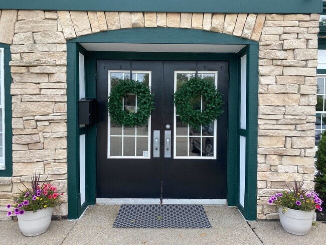
Property Detail
620 Warrendale Rd
Pittsburgh, PA
TREESDALE WEST GROVE NEIGHBORHOOD 3RD REV PARCEL #12-BR = (.681 ALD) WARRENDALE BAKERSTOWN
2376-R-00006-0000-00
Allegheny
Storebuilding
Pennsylvania
B and X Area of moderate flood hazard, usually the area between the limits of the 100-year and 500-year floods.
6
2024
0.72 AC
2025
North Pittsburgh/Rte 19
409002
Pittsburgh
NEARBY LISTINGS FOR SALE OR LEASE
DEMOGRAPHICS near 620 Warrendale Rd
1 mile
3 mile
5 mile
2025 Total Population
3,074
28,079
66,157
2030 Population
3,089
28,148
66,211
Pop Growth 2025-2030
+ 0.49%
+ 0.25%
+ 0.08%
Average Age
41
41
42
2025 Total Households
991
10,126
24,505
HH Growth 2025-2030
+ 0.61%
+ 0.17%
+ 0.07%
Median Household Inc
$190,523
$149,683
$142,718
Avg Household Size
3.10
2.70
2.60
2025 Avg HH Vehicles
2.00
2.00
2.00
Median Home Value
$740,384
$525,027
$480,145
Median Year Built
2002
2000
1996
Nearby Places
Map Layers
Map Styles
 Street
 Aerial
Layers
 Traffic
 Biking
Places
Listings with unknown addresses are not visible on the map
- Restaurants
- Banks
- Shops
- Fitness
- Groceries
PUBLIC TRANSPORTATION
AIRPORT
Pittsburgh International
Drive
Walk
Distance
Pittsburgh International
41 min
22.4 mi
SALE & LEASE HISTORY
LISTING DATE
SALE/LEASE

May 04, 2021
For Lease
Nearby Properties
Address
Land Use
TOTAL SIZE
Lot Size
Zoning
Address
Land Use
TOTAL SIZE
Lot Size
Zoning
48.35 AC
Address
Land Use
TOTAL SIZE
Lot Size
Zoning
29.52 AC
Address
Land Use
TOTAL SIZE
Lot Size
Zoning
1,980 SF
2.97 AC
Address
Land Use
TOTAL SIZE
Lot Size
Zoning
98.76 AC
Address
Land Use
TOTAL SIZE
Lot Size
Zoning
20.09 AC
Address
Land Use
TOTAL SIZE
Lot Size
Zoning
2.30 AC
Address
Land Use
TOTAL SIZE
Lot Size
Zoning
3.64 AC
Address
Land Use
TOTAL SIZE
Lot Size
Zoning
2.56 AC
Address
Land Use
TOTAL SIZE
Lot Size
Zoning
Address
Land Use
TOTAL SIZE
Lot Size
Zoning
1,596 SF
2.12 AC
Address
Land Use
TOTAL SIZE
Lot Size
Zoning
3.03 AC
Address
Land Use
TOTAL SIZE
Lot Size
Zoning
Address
Land Use
TOTAL SIZE
Lot Size
Zoning
24.09 AC
Address
Land Use
TOTAL SIZE
Lot Size
Zoning
11,858 SF
193.96 AC
Address
Land Use
TOTAL SIZE
Lot Size
Zoning
105.71 AC
Address
Land Use
TOTAL SIZE
Lot Size
Zoning
1.51 AC
Address
Land Use
TOTAL SIZE
Lot Size
Zoning
31.93 AC
Address
Land Use
TOTAL SIZE
Lot Size
Zoning
Address
Land Use
TOTAL SIZE
Lot Size
Zoning
5.54 AC
Address
Land Use
TOTAL SIZE
Lot Size
Zoning
1.77 AC
Address
Land Use
TOTAL SIZE
Lot Size
Zoning
1.40 AC
Address
Land Use
TOTAL SIZE
Lot Size
Zoning
2.09 AC
Address
Land Use
TOTAL SIZE
Lot Size
Zoning
11.45 AC
Address
Land Use
TOTAL SIZE
Lot Size
Zoning
38.30 AC
Address
Land Use
TOTAL SIZE
Lot Size
Zoning
3.38 AC
Address
Land Use
TOTAL SIZE
Lot Size
Zoning
5.02 AC
Address
Land Use
TOTAL SIZE
Lot Size
Zoning
Address
Land Use
TOTAL SIZE
Lot Size
Zoning
125.15 AC
Address
Land Use
TOTAL SIZE
Lot Size
Zoning
21.21 AC
Address
Land Use
TOTAL SIZE
Lot Size
Zoning
The World's #1 Commercial Real Estate Marketplace
Connect with us
© 2026 CoStar Group
The information above has been obtained from sources believed reliable. While we do not doubt its accuracy we have not verified it and make no guarantee, warranty or representation about it. It is your responsibility to independently confirm its accuracy and completeness. Any projections, opinions, assumptions, or estimates used are for example only and do not represent the current or future performance of the property. The value of this transaction to you depends on tax and other factors which should be evaluated by your tax, financial, and legal advisors. You and your advisors should conduct a careful, independent investigation of the property to determine to your satisfaction the suitability of the property for your needs.