Property Record
6142 N Range Rd, North Las Vegas, NV 89115
NEARBY LISTINGS FOR SALE OR LEASE
Property Detail
6142 N Range Rd
Las Vegas
Parcel Map Page 126 File 65
Las Vegas-Henderson-Paradise, NV
PARCEL MAP FILE 126 PAGE 65 PT LOT 1
123-28-101-018
Clark
Vacantlandnec
Nevada
2025
1
2025
10.77 AC
004712
North Las Vegas
DEMOGRAPHICS near 6142 N Range Rd
1 Mile
3 Mile
5 Mile
2024 Total Population
1,699
44,922
137,320
2029 Population
1,843
47,898
147,844
Pop Growth 2024-2029
+ 8.48%
+ 6.62%
+ 7.66%
Average Age
32
33
34
2024 Total Households
450
14,309
42,838
HH Growth 2024-2029
+ 8.44%
+ 6.51%
+ 7.62%
Median Household Inc
$84,926
$57,039
$57,490
Avg Household Size
3.70
3.00
3.10
2024 Avg HH Vehicles
2.00
2.00
2.00
Median Home Value
$364,515
$317,334
$304,356
Median Year Built
2009
2003
2001
Nearby Places
- Restaurants
- Banks
- Shops
- Fitness
- Groceries
PUBLIC TRANSPORTATION
AIRPORT
Harry Reid International
DRIVE
WALK
Distance
Harry Reid International
25 min
17.1 mi
Boulder City Municipal
DRIVE
WALK
Distance
Boulder City Municipal
45 min
33.6 mi
Freight Ports
Port of Long Beach
DRIVE
WALK
Distance
Port of Long Beach
326 min
292.6 mi
SALE & LEASE HISTORY
LISTING DATE
SALE/LEASE

Nov 02, 2016
For Sale
Jun 30, 2021
For Lease
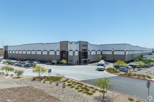
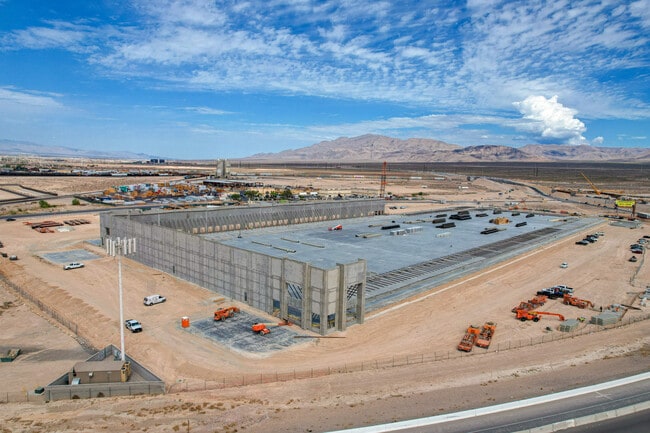
Nearby Properties
Address
Land Use
TOTAL SIZE
Lot Size
Zoning
Address
Land Use
TOTAL SIZE
Lot Size
Zoning
33,783 SF
168.44 AC
Address
Land Use
TOTAL SIZE
Lot Size
Zoning
168,609 SF
279.17 AC
RU
Address
Land Use
TOTAL SIZE
Lot Size
Zoning
935,120 SF
41.04 AC
Address
Land Use
TOTAL SIZE
Lot Size
Zoning
679,546 SF
69.82 AC
C2
Address
Land Use
TOTAL SIZE
Lot Size
Zoning
668,480 SF
63.10 AC
M1
Address
Land Use
TOTAL SIZE
Lot Size
Zoning
1,102,891 SF
84.43 AC
Address
Land Use
TOTAL SIZE
Lot Size
Zoning
798,660 SF
37.86 AC
M2
Address
Land Use
TOTAL SIZE
Lot Size
Zoning
813,120 SF
38.20 AC
Address
Land Use
TOTAL SIZE
Lot Size
Zoning
656,250 SF
29.11 AC
Address
Land Use
TOTAL SIZE
Lot Size
Zoning
37,382 SF
390.30 AC
C2
Address
Land Use
TOTAL SIZE
Lot Size
Zoning
588,286 SF
33.26 AC
Address
Land Use
TOTAL SIZE
Lot Size
Zoning
237,606 SF
324.73 AC
C2
Address
Land Use
TOTAL SIZE
Lot Size
Zoning
632,224 SF
31.23 AC
Address
Land Use
TOTAL SIZE
Lot Size
Zoning
681,792 SF
29.65 AC
Address
Land Use
TOTAL SIZE
Lot Size
Zoning
621,824 SF
32.27 AC
Address
Land Use
TOTAL SIZE
Lot Size
Zoning
677,768 SF
31.52 AC
Address
Land Use
TOTAL SIZE
Lot Size
Zoning
696,064 SF
29.08 AC
Address
Land Use
TOTAL SIZE
Lot Size
Zoning
869,320 SF
58.75 AC
M1
Address
Land Use
TOTAL SIZE
Lot Size
Zoning
15,566 SF
48.39 AC
R4
Address
Land Use
TOTAL SIZE
Lot Size
Zoning
570,810 SF
29.73 AC
Address
Land Use
TOTAL SIZE
Lot Size
Zoning
625,804 SF
27.23 AC
Address
Land Use
TOTAL SIZE
Lot Size
Zoning
720,000 SF
25.07 AC
The World's #1 Commercial Real Estate Marketplace
Connect with us
© 2025 CoStar Group
The information above has been obtained from sources believed reliable. While we do not doubt its accuracy we have not verified it and make no guarantee, warranty or representation about it. It is your responsibility to independently confirm its accuracy and completeness. Any projections, opinions, assumptions, or estimates used are for example only and do not represent the current or future performance of the property. The value of this transaction to you depends on tax and other factors which should be evaluated by your tax, financial, and legal advisors. You and your advisors should conduct a careful, independent investigation of the property to determine to your satisfaction the suitability of the property for your needs.