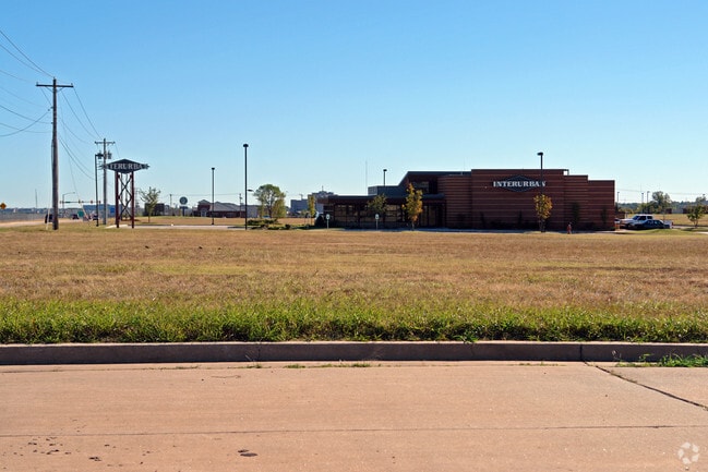
Property Record
6200 W Memorial Rd, Oklahoma City, OK 73142

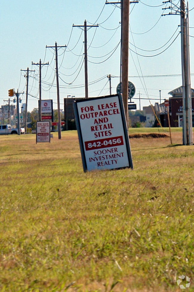
NEARBY LISTINGS FOR SALE OR LEASE
Property Detail
6200 W Memorial Rd
149471073
Unpltd Pt Sec 16 13N 4W
Regionalshoppingcenterormallwithanchorstore
UNPLTD PT SEC 16 13N 4W 000 000 PT NE4 SEC 16 13N 4W BEG 221.98FT S & 110.91FT W & 226.81FT SW 997.82FT SWLY OF NE/C NE4 TH S239.94FT RIGHT ON CURVE SW 22.59FT SW252.09FT NWLY ON A RIGHT CURVE 22.27FT N242.88FT ELY285.28FT TO BEG
X
Oklahoma
40109C0135H
Oklahoma
2023
1.62 AC
2024
Northwest
108527
Oklahoma City
15,639 SF
Oklahoma City, OK
DEMOGRAPHICS near 6200 W Memorial Rd
1 Mile
3 Mile
5 Mile
2024 Total Population
8,477
59,670
152,134
2029 Population
8,623
61,459
158,766
Pop Growth 2024-2029
+ 1.72%
+ 3.00%
+ 4.36%
Average Age
39
40
38
2024 Total Households
4,264
24,800
64,460
HH Growth 2024-2029
+ 1.83%
+ 2.85%
+ 4.12%
Median Household Inc
$73,933
$90,838
$71,896
Avg Household Size
2.00
2.30
2.30
2024 Avg HH Vehicles
2.00
2.00
2.00
Median Home Value
$251,367
$253,868
$237,035
Median Year Built
1993
1991
1988
Nearby Places
Map Layers
Map Styles
 Street
 Aerial
- Restaurants
- Banks
- Shops
- Fitness
- Groceries
PUBLIC TRANSPORTATION
AIRPORT
Will Rogers World
DRIVE
WALK
Distance
Will Rogers World
30 min
19.1 mi
Freight Ports
Tulsa Port Of Catoosa
DRIVE
WALK
Distance
Tulsa Port Of Catoosa
132 min
123.1 mi
Nearby Properties
Address
Land Use
TOTAL SIZE
Lot Size
Zoning
Address
Land Use
TOTAL SIZE
Lot Size
Zoning
60,267 SF
0.88 AC
C-3
Address
Land Use
TOTAL SIZE
Lot Size
Zoning
823,638 SF
94.89 AC
PUD
Address
Land Use
TOTAL SIZE
Lot Size
Zoning
294,327 SF
14.04 AC
PUD
Address
Land Use
TOTAL SIZE
Lot Size
Zoning
414,006 SF
22.80 AC
PUD
Address
Land Use
TOTAL SIZE
Lot Size
Zoning
333,436 SF
22.82 AC
PUD
Address
Land Use
TOTAL SIZE
Lot Size
Zoning
247,230 SF
22.75 AC
PUD
Address
Land Use
TOTAL SIZE
Lot Size
Zoning
10,635 SF
1.49 AC
PUD
Address
Land Use
TOTAL SIZE
Lot Size
Zoning
302,058 SF
23.78 AC
PUD
Address
Land Use
TOTAL SIZE
Lot Size
Zoning
294,250 SF
17.85 AC
PUD
Address
Land Use
TOTAL SIZE
Lot Size
Zoning
356,798 SF
31.11 AC
C-3
Address
Land Use
TOTAL SIZE
Lot Size
Zoning
224,984 SF
12.72 AC
PUD
Address
Land Use
TOTAL SIZE
Lot Size
Zoning
403,628 SF
15.57 AC
C-3
Address
Land Use
TOTAL SIZE
Lot Size
Zoning
288,231 SF
11.79 AC
PUD
Address
Land Use
TOTAL SIZE
Lot Size
Zoning
229,927 SF
25.01 AC
PUD
Address
Land Use
TOTAL SIZE
Lot Size
Zoning
140,756 SF
7.93 AC
C-3
Address
Land Use
TOTAL SIZE
Lot Size
Zoning
175,991 SF
18.07 AC
SPUD
Address
Land Use
TOTAL SIZE
Lot Size
Zoning
108,800 SF
7.05 AC
PUD
Address
Land Use
TOTAL SIZE
Lot Size
Zoning
258,068 SF
10.26 AC
R-4
Address
Land Use
TOTAL SIZE
Lot Size
Zoning
64,931 SF
6.44 AC
PUD
Address
Land Use
TOTAL SIZE
Lot Size
Zoning
131,262 SF
11.34 AC
O-1
Address
Land Use
TOTAL SIZE
Lot Size
Zoning
211,560 SF
8.32 AC
R-4
Address
Land Use
TOTAL SIZE
Lot Size
Zoning
60,238 SF
4.93 AC
PUD
Address
Land Use
TOTAL SIZE
Lot Size
Zoning
226,800 SF
30.07 AC
R-2
Address
Land Use
TOTAL SIZE
Lot Size
Zoning
263,560 SF
13.10 AC
R-4
Address
Land Use
TOTAL SIZE
Lot Size
Zoning
62,580 SF
11.99 AC
C-3
Address
Land Use
TOTAL SIZE
Lot Size
Zoning
0.19 AC
LCR320U*
Address
Land Use
TOTAL SIZE
Lot Size
Zoning
150,777 SF
12 AC
C-3
Address
Land Use
TOTAL SIZE
Lot Size
Zoning
101,883 SF
4.42 AC
PUD
Address
Land Use
TOTAL SIZE
Lot Size
Zoning
6,372 SF
0.57 AC
Address
Land Use
TOTAL SIZE
Lot Size
Zoning
243,906 SF
9.56 AC
C-3
The World's #1 Commercial Real Estate Marketplace
Connect with us
© 2025 CoStar Group
The information above has been obtained from sources believed reliable. While we do not doubt its accuracy we have not verified it and make no guarantee, warranty or representation about it. It is your responsibility to independently confirm its accuracy and completeness. Any projections, opinions, assumptions, or estimates used are for example only and do not represent the current or future performance of the property. The value of this transaction to you depends on tax and other factors which should be evaluated by your tax, financial, and legal advisors. You and your advisors should conduct a careful, independent investigation of the property to determine to your satisfaction the suitability of the property for your needs.