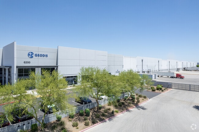
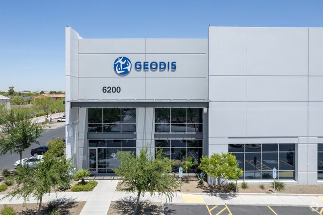
Property Record
6200 W Van Buren St, Phoenix, AZ 85043


NEARBY LISTINGS FOR SALE OR LEASE
Property Detail
6200 W Van Buren St
Phoenix-Mesa-Scottsdale, AZ
10 West
103-26-470
10 WEST MCR 1243-12
Warehouse
Maricopa
X
Arizona
04013C2180L
1
2025
42.04 AC
2025
SW N of Buckeye Road
112522
Phoenix
659,834 SF
DEMOGRAPHICS near 6200 W Van Buren St
1 Mile
3 Mile
5 Mile
2024 Total Population
11,718
122,298
338,456
2029 Population
12,679
131,485
364,339
Pop Growth 2024-2029
+ 8.20%
+ 7.51%
+ 7.65%
Average Age
31
32
32
2024 Total Households
3,695
33,938
92,959
HH Growth 2024-2029
+ 8.96%
+ 7.66%
+ 7.77%
Median Household Inc
$45,917
$50,192
$55,001
Avg Household Size
3.10
3.50
3.50
2024 Avg HH Vehicles
2.00
2.00
2.00
Median Home Value
$136,253
$212,983
$240,907
Median Year Built
1987
1980
1979
Nearby Places
Map Layers
Map Styles
 Street
 Aerial
- Restaurants
- Banks
- Shops
- Fitness
- Groceries
PUBLIC TRANSPORTATION
AIRPORT
Phoenix Sky Harbor International
DRIVE
WALK
Distance
Phoenix Sky Harbor International
22 min
14.0 mi
Freight Ports
Port of San Diego
DRIVE
WALK
Distance
Port of San Diego
390 min
348.8 mi
SALE & LEASE HISTORY
LISTING DATE
SALE/LEASE

Sep 25, 2016
For Lease
Nearby Properties
Address
Land Use
TOTAL SIZE
Lot Size
Zoning
Address
Land Use
TOTAL SIZE
Lot Size
Zoning
569,517 SF
33.38 AC
PUD
Address
Land Use
TOTAL SIZE
Lot Size
Zoning
60.41 AC
CPGCP
Address
Land Use
TOTAL SIZE
Lot Size
Zoning
86,350 SF
25.82 AC
I-1
Address
Land Use
TOTAL SIZE
Lot Size
Zoning
1,539,348 SF
143.97 AC
A-1
Address
Land Use
TOTAL SIZE
Lot Size
Zoning
61,508 SF
23.76 AC
I-1
Address
Land Use
TOTAL SIZE
Lot Size
Zoning
1,377,683 SF
72.08 AC
I-1
Address
Land Use
TOTAL SIZE
Lot Size
Zoning
899,427 SF
73.79 AC
R1-6
Address
Land Use
TOTAL SIZE
Lot Size
Zoning
1,267,497 SF
70.43 AC
A1
Address
Land Use
TOTAL SIZE
Lot Size
Zoning
1,205,743 SF
59.34 AC
I-1
Address
Land Use
TOTAL SIZE
Lot Size
Zoning
1,100,500 SF
57.61 AC
PUD
Address
Land Use
TOTAL SIZE
Lot Size
Zoning
1,063,188 SF
59.94 AC
Address
Land Use
TOTAL SIZE
Lot Size
Zoning
270,483 SF
53.58 AC
R-43AG
Address
Land Use
TOTAL SIZE
Lot Size
Zoning
4,900 SF
12.05 AC
R1-6
Address
Land Use
TOTAL SIZE
Lot Size
Zoning
554,581 SF
37.82 AC
A1
Address
Land Use
TOTAL SIZE
Lot Size
Zoning
375,848 SF
117.15 AC
A1
Address
Land Use
TOTAL SIZE
Lot Size
Zoning
1,009,390 SF
44.22 AC
A1
Address
Land Use
TOTAL SIZE
Lot Size
Zoning
348,753 SF
19.36 AC
R-6
Address
Land Use
TOTAL SIZE
Lot Size
Zoning
750,037 SF
49.40 AC
I1
Address
Land Use
TOTAL SIZE
Lot Size
Zoning
351,903 SF
29.13 AC
A1
Address
Land Use
TOTAL SIZE
Lot Size
Zoning
436,817 SF
23.21 AC
I-P
Address
Land Use
TOTAL SIZE
Lot Size
Zoning
580,382 SF
31.77 AC
PAD
Address
Land Use
TOTAL SIZE
Lot Size
Zoning
682,727 SF
37.38 AC
I-1
Address
Land Use
TOTAL SIZE
Lot Size
Zoning
569,792 SF
32.25 AC
I-1
Address
Land Use
TOTAL SIZE
Lot Size
Zoning
316,386 SF
45.04 AC
R16
Address
Land Use
TOTAL SIZE
Lot Size
Zoning
592,330 SF
36.89 AC
I-2
Address
Land Use
TOTAL SIZE
Lot Size
Zoning
684,420 SF
38.13 AC
I-1
Address
Land Use
TOTAL SIZE
Lot Size
Zoning
660,807 SF
31.44 AC
PAD-14
Address
Land Use
TOTAL SIZE
Lot Size
Zoning
554,011 SF
26.10 AC
I-P
Address
Land Use
TOTAL SIZE
Lot Size
Zoning
489,284 SF
28.64 AC
I-1
The World's #1 Commercial Real Estate Marketplace
Connect with us
© 2025 CoStar Group
The information above has been obtained from sources believed reliable. While we do not doubt its accuracy we have not verified it and make no guarantee, warranty or representation about it. It is your responsibility to independently confirm its accuracy and completeness. Any projections, opinions, assumptions, or estimates used are for example only and do not represent the current or future performance of the property. The value of this transaction to you depends on tax and other factors which should be evaluated by your tax, financial, and legal advisors. You and your advisors should conduct a careful, independent investigation of the property to determine to your satisfaction the suitability of the property for your needs.