Property Record
6204 Ingham Rd, New Hope, PA 18938


NEARBY LISTINGS FOR SALE OR LEASE
-
-
View all New Hope listings for sale on LoopNet.com
Property Detail
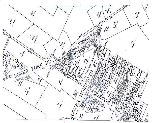
6204 Ingham Rd
41-022-038
1.981 AC SS US 202 780 E LR09060
Warehouse
Bucks
X
Pennsylvania
42017C0326J
1.98 AC
2024
Bucks
2025
Philadelphia
104303
Philadelphia-Camden-Wilmington, PA-NJ-DE-MD
4,150 SF
DEMOGRAPHICS near 6204 Ingham Rd
1 Mile
3 Mile
5 Mile
2024 Total Population
1,044
10,897
29,276
2029 Population
1,032
10,756
28,956
Pop Growth 2024-2029
(1.15%)
(1.29%)
(1.09%)
Average Age
48
48
48
2024 Total Households
435
4,669
12,118
HH Growth 2024-2029
(1.15%)
(1.24%)
(1.01%)
Median Household Inc
$137,878
$155,837
$138,299
Avg Household Size
2.40
2.30
2.40
2024 Avg HH Vehicles
2.00
2.00
2.00
Median Home Value
$712,786
$751,695
$677,949
Median Year Built
1992
1980
1979
Nearby Places
Map Layers
Map Styles
 Street
 Aerial
- Restaurants
- Banks
- Shops
- Fitness
- Groceries
PUBLIC TRANSPORTATION
COMMUTER RAIL
Doylestown (R5 - Southeastern Pennsylvania Transportation Authority Regional Rail (SEPTA Regional Rail))
DRIVE
WALK
Distance
Doylestown (R5 - Southeastern Pennsylvania Transportation Authority Regional Rail (SEPTA Regional Rail))
15 min
8.0 mi
AIRPORT
Trenton Mercer
DRIVE
WALK
Distance
Trenton Mercer
25 min
14.8 mi
Freight Ports
Port of Philadelphia
DRIVE
WALK
Distance
Port of Philadelphia
54 min
31.1 mi
Nearby Properties
Address
Land Use
TOTAL SIZE
Lot Size
Zoning
Address
Land Use
TOTAL SIZE
Lot Size
Zoning
24,768 SF
1.47 AC
FP
Address
Land Use
TOTAL SIZE
Lot Size
Zoning
1,620 SF
0.23 AC
Address
Land Use
TOTAL SIZE
Lot Size
Zoning
0.72 AC
CBD
Address
Land Use
TOTAL SIZE
Lot Size
Zoning
1.08 AC
CBD
Address
Land Use
TOTAL SIZE
Lot Size
Zoning
6,829 SF
0.15 AC
CBD
Address
Land Use
TOTAL SIZE
Lot Size
Zoning
68,430 SF
3.54 AC
HC
Address
Land Use
TOTAL SIZE
Lot Size
Zoning
0.31 AC
CBD
Address
Land Use
TOTAL SIZE
Lot Size
Zoning
72,744 SF
9.24 AC
SC
Address
Land Use
TOTAL SIZE
Lot Size
Zoning
0.72 AC
CBD
Address
Land Use
TOTAL SIZE
Lot Size
Zoning
0.14 AC
CBD
Address
Land Use
TOTAL SIZE
Lot Size
Zoning
33,721 SF
0.59 AC
RB
Address
Land Use
TOTAL SIZE
Lot Size
Zoning
1,620 SF
12.90 AC
FP
Address
Land Use
TOTAL SIZE
Lot Size
Zoning
9,664 SF
0.25 AC
CBD
Address
Land Use
TOTAL SIZE
Lot Size
Zoning
6,148 SF
0.25 AC
CBD
Address
Land Use
TOTAL SIZE
Lot Size
Zoning
7,559 SF
0.16 AC
CBD
Address
Land Use
TOTAL SIZE
Lot Size
Zoning
3,336 SF
166.24 AC
R1
Address
Land Use
TOTAL SIZE
Lot Size
Zoning
34,816 SF
1.38 AC
CC
Address
Land Use
TOTAL SIZE
Lot Size
Zoning
4,410 SF
1 AC
FP
Address
Land Use
TOTAL SIZE
Lot Size
Zoning
4.41 AC
VC2
Address
Land Use
TOTAL SIZE
Lot Size
Zoning
1,512 SF
0.04 AC
CBD
Address
Land Use
TOTAL SIZE
Lot Size
Zoning
2,297 SF
0.09 AC
CBD
Address
Land Use
TOTAL SIZE
Lot Size
Zoning
12,212 SF
5.63 AC
VC2
Address
Land Use
TOTAL SIZE
Lot Size
Zoning
1,656 SF
0.04 AC
CBD
Address
Land Use
TOTAL SIZE
Lot Size
Zoning
102,144 SF
14.15 AC
VC2
Address
Land Use
TOTAL SIZE
Lot Size
Zoning
82,623 SF
15.36 AC
VC2
Address
Land Use
TOTAL SIZE
Lot Size
Zoning
1,762 SF
0.04 AC
CBD
Address
Land Use
TOTAL SIZE
Lot Size
Zoning
28,586 SF
10.15 AC
R2
Address
Land Use
TOTAL SIZE
Lot Size
Zoning
0.04 AC
CBD
Address
Land Use
TOTAL SIZE
Lot Size
Zoning
19,206 SF
2.35 AC
HC
Address
Land Use
TOTAL SIZE
Lot Size
Zoning
17,350 SF
10.02 AC
LI
The World's #1 Commercial Real Estate Marketplace
Connect with us
© 2025 CoStar Group
The information above has been obtained from sources believed reliable. While we do not doubt its accuracy we have not verified it and make no guarantee, warranty or representation about it. It is your responsibility to independently confirm its accuracy and completeness. Any projections, opinions, assumptions, or estimates used are for example only and do not represent the current or future performance of the property. The value of this transaction to you depends on tax and other factors which should be evaluated by your tax, financial, and legal advisors. You and your advisors should conduct a careful, independent investigation of the property to determine to your satisfaction the suitability of the property for your needs.