Property Record
62101 Tyler St, Thermal, CA 92274

Property Detail
62101 Tyler St
751-020-003
160.62 ACRES IN POR NE 1/4 OF SEC 5 T7S R8E FOR TOTAL DESCRIPTION SEE ASSESSORS MAPS
Agriculturalland
RIVERSIDE
A210
California
B and X Area of moderate flood hazard, usually the area between the limits of the 100-year and 500-year floods.
160.62 AC
2024
Coachella Valley
2025
Inland Empire (California)
045619
Riverside-San Bernardino-Ontario, CA
NEARBY LISTINGS FOR SALE OR LEASE
DEMOGRAPHICS near 62101 Tyler St
1 mile
3 mile
5 mile
2025 Total Population
397
2,168
16,513
2030 Population
390
2,244
17,224
Pop Growth 2025-2030
(1.76%)
+ 3.51%
+ 4.31%
Average Age
32
32
39
2025 Total Households
99
541
4,819
HH Growth 2025-2030
(3.03%)
+ 3.33%
+ 5.06%
Median Household Inc
$34,312
$34,914
$66,779
Avg Household Size
3.90
3.90
3.30
2025 Avg HH Vehicles
2.00
2.00
2.00
Median Home Value
$511,364
$81,402
$576,610
Median Year Built
1986
1990
1999
Nearby Places
Map Layers
Map Styles
 Street
 Aerial
Transit
 Traffic
 Biking
Places
Listings with unknown addresses are not visible on the map
- Restaurants
- Banks
- Shops
- Fitness
- Groceries
PUBLIC TRANSPORTATION
AIRPORT
Palm Springs International
Drive
Walk
Distance
Palm Springs International
45 min
32.3 mi
Freight Ports
Port of San Diego
Drive
Walk
Distance
Port of San Diego
190 min
156.4 mi
SALE & LEASE HISTORY
LISTING DATE
SALE/LEASE

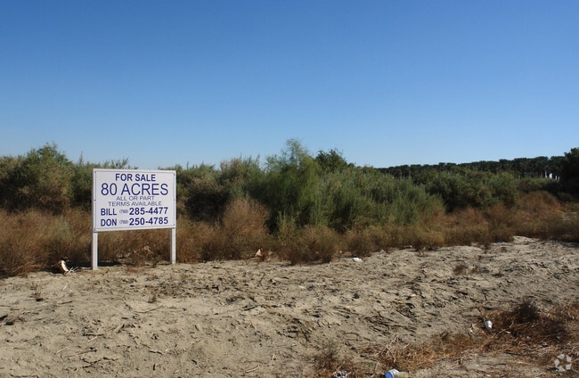
Sep 24, 2016
For Sale
Nearby Properties
Address
Land Use
TOTAL SIZE
Lot Size
Zoning
Address
Land Use
TOTAL SIZE
Lot Size
Zoning
58,750 SF
139.26 AC
Address
Land Use
TOTAL SIZE
Lot Size
Zoning
30,924 SF
0.85 AC
Address
Land Use
TOTAL SIZE
Lot Size
Zoning
14,119 SF
0.34 AC
Address
Land Use
TOTAL SIZE
Lot Size
Zoning
15,762 SF
0.58 AC
Address
Land Use
TOTAL SIZE
Lot Size
Zoning
301.87 AC
MIX
Address
Land Use
TOTAL SIZE
Lot Size
Zoning
40,258 SF
39.09 AC
A120
Address
Land Use
TOTAL SIZE
Lot Size
Zoning
79.40 AC
A120
Address
Land Use
TOTAL SIZE
Lot Size
Zoning
12,768 SF
0.55 AC
Address
Land Use
TOTAL SIZE
Lot Size
Zoning
156.20 AC
A210
Address
Land Use
TOTAL SIZE
Lot Size
Zoning
13,116 SF
0.48 AC
Address
Land Use
TOTAL SIZE
Lot Size
Zoning
155.28 AC
A210
Address
Land Use
TOTAL SIZE
Lot Size
Zoning
160 AC
A110
Address
Land Use
TOTAL SIZE
Lot Size
Zoning
5,436 SF
0.17 AC
Address
Land Use
TOTAL SIZE
Lot Size
Zoning
6,572 SF
62.07 AC
A120
Address
Land Use
TOTAL SIZE
Lot Size
Zoning
13,852 SF
0.57 AC
Address
Land Use
TOTAL SIZE
Lot Size
Zoning
3,313 SF
18.13 AC
A110
Address
Land Use
TOTAL SIZE
Lot Size
Zoning
8,690 SF
0.17 AC
Address
Land Use
TOTAL SIZE
Lot Size
Zoning
153.25 AC
A220
Address
Land Use
TOTAL SIZE
Lot Size
Zoning
19,744 SF
0.84 AC
Address
Land Use
TOTAL SIZE
Lot Size
Zoning
14,770 SF
0.58 AC
Address
Land Use
TOTAL SIZE
Lot Size
Zoning
67,995 SF
41.50 AC
A110
Address
Land Use
TOTAL SIZE
Lot Size
Zoning
1,260 SF
39.09 AC
A120
Address
Land Use
TOTAL SIZE
Lot Size
Zoning
5,378 SF
40.26 AC
A110
Address
Land Use
TOTAL SIZE
Lot Size
Zoning
1,188 SF
54 AC
A120
The World's #1 Commercial Real Estate Marketplace
Connect with us
© 2026 CoStar Group
The information above has been obtained from sources believed reliable. While we do not doubt its accuracy we have not verified it and make no guarantee, warranty or representation about it. It is your responsibility to independently confirm its accuracy and completeness. Any projections, opinions, assumptions, or estimates used are for example only and do not represent the current or future performance of the property. The value of this transaction to you depends on tax and other factors which should be evaluated by your tax, financial, and legal advisors. You and your advisors should conduct a careful, independent investigation of the property to determine to your satisfaction the suitability of the property for your needs.