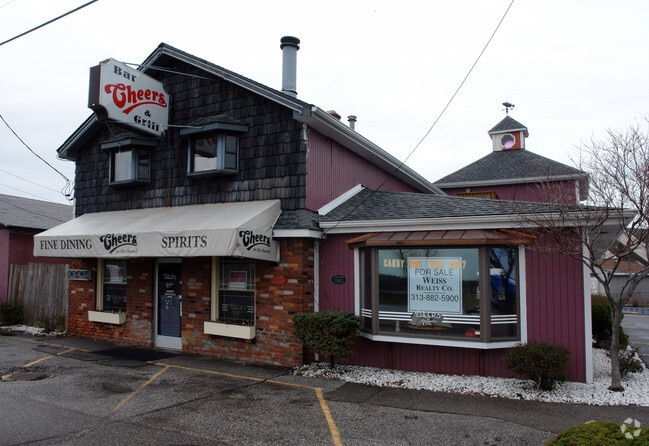
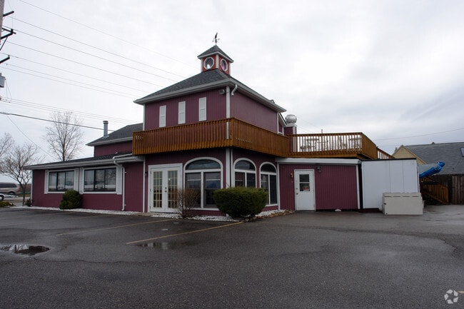
Property Record
6211 Pointe Tremble Rd, Clay, MI 48001

Property Detail
6211 Pointe Tremble Rd
14-550-0002-000
LOTS 2 & 3 SUP RE-PLAT OF SUP ST JOHN PLAT & PART OF FRAC SEC 1 PC 203
Commercialnec
Saint Clair
C-3
Michigan
AE The base floodplain where base flood elevations are provided. AE Zones are now used on new format FIRMs instead of A1-A30 Zones.
2-3
2025
0.23 AC
2025
St Clair & Lapeer Counties
646000
Detroit
3,448 SF
Detroit-Warren-Dearborn, MI
NEARBY LISTINGS FOR SALE OR LEASE
DEMOGRAPHICS near 6211 Pointe Tremble Rd
1 mile
3 mile
5 mile
2025 Total Population
1,749
7,368
16,225
2030 Population
1,768
7,489
16,489
Pop Growth 2025-2030
+ 1.09%
+ 1.64%
+ 1.63%
Average Age
53
50
48
2025 Total Households
837
3,396
7,311
HH Growth 2025-2030
+ 0.96%
+ 1.77%
+ 1.78%
Median Household Inc
$87,833
$82,534
$73,322
Avg Household Size
2.00
2.10
2.20
2025 Avg HH Vehicles
2.00
2.00
2.00
Median Home Value
$339,338
$311,301
$278,995
Median Year Built
1973
1976
1972
Nearby Places
Map Layers
Map Styles
 Street
 Aerial
Layers
 Traffic
 Biking
Places
Listings with unknown addresses are not visible on the map
- Restaurants
- Banks
- Shops
- Fitness
- Groceries
SALE & LEASE HISTORY
LISTING DATE
SALE/LEASE

Nov 07, 2016
For Lease
Nearby Properties
Address
Land Use
TOTAL SIZE
Lot Size
Zoning
Address
Land Use
TOTAL SIZE
Lot Size
Zoning
232,654 SF
24.28 AC
C-3
Address
Land Use
TOTAL SIZE
Lot Size
Zoning
69,306 SF
13.25 AC
C-3
Address
Land Use
TOTAL SIZE
Lot Size
Zoning
Address
Land Use
TOTAL SIZE
Lot Size
Zoning
1,904 SF
98.63 AC
MHP
Address
Land Use
TOTAL SIZE
Lot Size
Zoning
54,976 SF
6.83 AC
R-3
Address
Land Use
TOTAL SIZE
Lot Size
Zoning
9.71 AC
R-1
Address
Land Use
TOTAL SIZE
Lot Size
Zoning
4,564 SF
9.15 AC
C-3
Address
Land Use
TOTAL SIZE
Lot Size
Zoning
468.12 AC
RS-1
Address
Land Use
TOTAL SIZE
Lot Size
Zoning
37,823 SF
1.77 AC
C-3
Address
Land Use
TOTAL SIZE
Lot Size
Zoning
48,646 SF
2.95 AC
C-3
Address
Land Use
TOTAL SIZE
Lot Size
Zoning
42,914 SF
6.56 AC
C-3
Address
Land Use
TOTAL SIZE
Lot Size
Zoning
8,054 SF
4.19 AC
RS-1
Address
Land Use
TOTAL SIZE
Lot Size
Zoning
3,915 SF
8.29 AC
C-3
Address
Land Use
TOTAL SIZE
Lot Size
Zoning
10,112 SF
0.46 AC
RM
Address
Land Use
TOTAL SIZE
Lot Size
Zoning
286.71 AC
RS-1
Address
Land Use
TOTAL SIZE
Lot Size
Zoning
153.99 AC
B2
Address
Land Use
TOTAL SIZE
Lot Size
Zoning
47,032 SF
3.78 AC
I-1
Address
Land Use
TOTAL SIZE
Lot Size
Zoning
3,454 SF
0.23 AC
C-2
Address
Land Use
TOTAL SIZE
Lot Size
Zoning
3,850 SF
6.60 AC
C-3
Address
Land Use
TOTAL SIZE
Lot Size
Zoning
21,237 SF
3.31 AC
C-2
Address
Land Use
TOTAL SIZE
Lot Size
Zoning
3,360 SF
1.02 AC
C-2
Address
Land Use
TOTAL SIZE
Lot Size
Zoning
6,750 SF
0.74 AC
C-3
Address
Land Use
TOTAL SIZE
Lot Size
Zoning
7.88 AC
RM
Address
Land Use
TOTAL SIZE
Lot Size
Zoning
340.24 AC
RS-1
Address
Land Use
TOTAL SIZE
Lot Size
Zoning
7,295 SF
1.10 AC
C-3
Address
Land Use
TOTAL SIZE
Lot Size
Zoning
169.50 AC
A-1 AG
Address
Land Use
TOTAL SIZE
Lot Size
Zoning
317.70 AC
RS-1
Address
Land Use
TOTAL SIZE
Lot Size
Zoning
19,133 SF
0.58 AC
I-1
Address
Land Use
TOTAL SIZE
Lot Size
Zoning
2,948 SF
0.23 AC
C-3
Address
Land Use
TOTAL SIZE
Lot Size
Zoning
1,289 SF
52.90 AC
RS-1
The World's #1 Commercial Real Estate Marketplace
Connect with us
© 2026 CoStar Group
The information above has been obtained from sources believed reliable. While we do not doubt its accuracy we have not verified it and make no guarantee, warranty or representation about it. It is your responsibility to independently confirm its accuracy and completeness. Any projections, opinions, assumptions, or estimates used are for example only and do not represent the current or future performance of the property. The value of this transaction to you depends on tax and other factors which should be evaluated by your tax, financial, and legal advisors. You and your advisors should conduct a careful, independent investigation of the property to determine to your satisfaction the suitability of the property for your needs.