Property Record
6217 Fry Rd, Katy, TX 77449

NEARBY LISTINGS FOR SALE OR LEASE
Property Detail
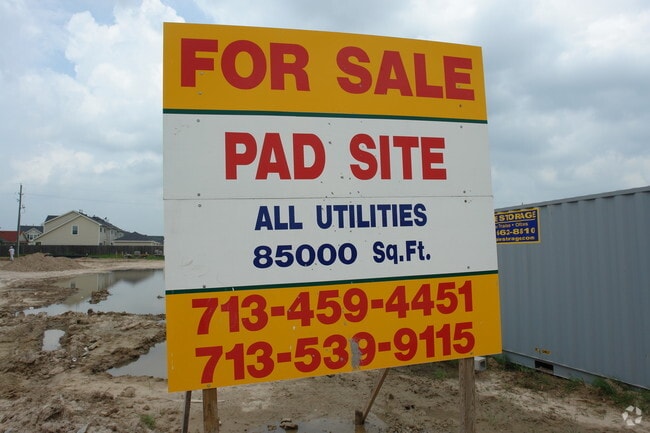
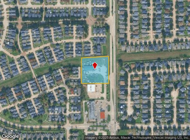
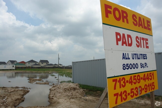
6217 Fry Rd
1295260010003
Lakeville Business Center
Warehouse
RES A2 BLK 1 LAKEVILLE BUSINESS CENTER
X
Harris
48201C0605M
Texas
2024
1.97 AC
2025
Katy/Grand Parkway West
542201
Houston
6,000 SF
Houston-The Woodlands-Sugar Land, TX
DEMOGRAPHICS near 6217 Fry Rd
1 Mile
3 Mile
5 Mile
2024 Total Population
21,954
132,763
316,364
2029 Population
22,265
135,778
324,371
Pop Growth 2024-2029
+ 1.42%
+ 2.27%
+ 2.53%
Average Age
33
34
35
2024 Total Households
6,350
38,303
96,575
HH Growth 2024-2029
+ 1.39%
+ 2.21%
+ 2.46%
Median Household Inc
$82,488
$84,149
$87,467
Avg Household Size
3.40
3.40
3.20
2024 Avg HH Vehicles
2.00
2.00
2.00
Median Home Value
$180,722
$207,007
$232,233
Median Year Built
2005
2005
2004
Nearby Places
- Restaurants
- Banks
- Shops
- Fitness
- Groceries
PUBLIC TRANSPORTATION
AIRPORT
George Bush Intcntl/Houston
DRIVE
WALK
Distance
George Bush Intcntl/Houston
44 min
29.8 mi
Freight Ports
Port of Houston
DRIVE
WALK
Distance
Port of Houston
54 min
36.0 mi
SALE & LEASE HISTORY
LISTING DATE
SALE/LEASE

Sep 25, 2016
For Lease
Nearby Properties
Address
Land Use
TOTAL SIZE
Lot Size
Zoning
Address
Land Use
TOTAL SIZE
Lot Size
Zoning
838,700 SF
36.68 AC
Address
Land Use
TOTAL SIZE
Lot Size
Zoning
355,721 SF
13 AC
Address
Land Use
TOTAL SIZE
Lot Size
Zoning
323,609 SF
12.71 AC
Address
Land Use
TOTAL SIZE
Lot Size
Zoning
335,899 SF
12.62 AC
Address
Land Use
TOTAL SIZE
Lot Size
Zoning
331,263 SF
11.36 AC
Address
Land Use
TOTAL SIZE
Lot Size
Zoning
236,406 SF
11.40 AC
Address
Land Use
TOTAL SIZE
Lot Size
Zoning
418,572 SF
24.76 AC
Address
Land Use
TOTAL SIZE
Lot Size
Zoning
262,174 SF
11.64 AC
Address
Land Use
TOTAL SIZE
Lot Size
Zoning
267,766 SF
12.96 AC
Address
Land Use
TOTAL SIZE
Lot Size
Zoning
290,927 SF
14.53 AC
Address
Land Use
TOTAL SIZE
Lot Size
Zoning
147,923 SF
11.60 AC
Address
Land Use
TOTAL SIZE
Lot Size
Zoning
262,048 SF
7 AC
Address
Land Use
TOTAL SIZE
Lot Size
Zoning
171,000 SF
7.08 AC
Address
Land Use
TOTAL SIZE
Lot Size
Zoning
117,860 SF
12.44 AC
Address
Land Use
TOTAL SIZE
Lot Size
Zoning
228,152 SF
22.61 AC
Address
Land Use
TOTAL SIZE
Lot Size
Zoning
191,575 SF
17.98 AC
Address
Land Use
TOTAL SIZE
Lot Size
Zoning
122,880 SF
15 AC
Address
Land Use
TOTAL SIZE
Lot Size
Zoning
99,096 SF
27.51 AC
Address
Land Use
TOTAL SIZE
Lot Size
Zoning
143,950 SF
10.30 AC
Address
Land Use
TOTAL SIZE
Lot Size
Zoning
67,250 SF
7.37 AC
Address
Land Use
TOTAL SIZE
Lot Size
Zoning
2,939 SF
330.19 AC
Address
Land Use
TOTAL SIZE
Lot Size
Zoning
58,014 SF
22.85 AC
Address
Land Use
TOTAL SIZE
Lot Size
Zoning
84.23 AC
Address
Land Use
TOTAL SIZE
Lot Size
Zoning
52,035 SF
9.23 AC
Address
Land Use
TOTAL SIZE
Lot Size
Zoning
99,883 SF
3.16 AC
Address
Land Use
TOTAL SIZE
Lot Size
Zoning
83,750 SF
4.88 AC
Address
Land Use
TOTAL SIZE
Lot Size
Zoning
64,627 SF
4.37 AC
Address
Land Use
TOTAL SIZE
Lot Size
Zoning
126,890 SF
6.29 AC
Address
Land Use
TOTAL SIZE
Lot Size
Zoning
57,300 SF
7.89 AC
Address
Land Use
TOTAL SIZE
Lot Size
Zoning
66,891 SF
7.02 AC
The World's #1 Commercial Real Estate Marketplace
Connect with us
© 2025 CoStar Group
The information above has been obtained from sources believed reliable. While we do not doubt its accuracy we have not verified it and make no guarantee, warranty or representation about it. It is your responsibility to independently confirm its accuracy and completeness. Any projections, opinions, assumptions, or estimates used are for example only and do not represent the current or future performance of the property. The value of this transaction to you depends on tax and other factors which should be evaluated by your tax, financial, and legal advisors. You and your advisors should conduct a careful, independent investigation of the property to determine to your satisfaction the suitability of the property for your needs.