Property Record
6220 Murray Dr, Hanahan, SC 29410

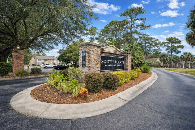
Property Detail
6220 Murray Dr
265-03-00-028
LOT-1 VACANT/MURRY DRIVE
Apartment
Berkeley
HANAHAN -
South Carolina
C and X Area of minimal flood hazard, usually depicted on FIRMs as above the 500-year flood level.
1
2025
10.92 AC
2025
North Charleston
020903
Charleston/N Charleston
64,584 SF
Charleston-North Charleston, SC
NEARBY LISTINGS FOR SALE OR LEASE
-
-
View all Hanahan listings for sale on LoopNet.com
DEMOGRAPHICS near 6220 Murray Dr
1 mile
3 mile
5 mile
2025 Total Population
7,900
51,911
132,252
2030 Population
8,711
56,139
141,931
Pop Growth 2025-2030
+ 10.27%
+ 8.14%
+ 7.32%
Average Age
38
37
37
2025 Total Households
3,207
20,564
51,717
HH Growth 2025-2030
+ 10.54%
+ 8.29%
+ 7.34%
Median Household Inc
$69,726
$66,451
$66,523
Avg Household Size
2.50
2.40
2.40
2025 Avg HH Vehicles
2.00
2.00
2.00
Median Home Value
$343,634
$310,421
$271,654
Median Year Built
1984
1987
1987
Nearby Places
Map Layers
Map Styles
 Street
 Aerial
Layers
 Traffic
 Biking
Places
Listings with unknown addresses are not visible on the map
- Restaurants
- Banks
- Shops
- Fitness
- Groceries
PUBLIC TRANSPORTATION
COMMUTER RAIL
Charleston Amtrak Station (Palmetto - Amtrak, Silver Meteor - Amtrak)
Drive
Walk
Distance
Charleston Amtrak Station (Palmetto - Amtrak, Silver Meteor - Amtrak)
8 min
4.6 mi
AIRPORT
Charleston AFB/International
Drive
Walk
Distance
Charleston AFB/International
17 min
9.6 mi
Freight Ports
North Charleston Terminal
Drive
Walk
Distance
North Charleston Terminal
7 min
2.7 mi
Nearby Properties
Address
Land Use
TOTAL SIZE
Lot Size
Zoning
Address
Land Use
TOTAL SIZE
Lot Size
Zoning
202,154 SF
16.34 AC
Address
Land Use
TOTAL SIZE
Lot Size
Zoning
10,172 SF
12.76 AC
Address
Land Use
TOTAL SIZE
Lot Size
Zoning
7,200 SF
8.73 AC
Address
Land Use
TOTAL SIZE
Lot Size
Zoning
105,666 SF
8.25 AC
Address
Land Use
TOTAL SIZE
Lot Size
Zoning
21,364 SF
7.71 AC
Address
Land Use
TOTAL SIZE
Lot Size
Zoning
10,560 SF
7.50 AC
Address
Land Use
TOTAL SIZE
Lot Size
Zoning
101,011 SF
6.58 AC
Address
Land Use
TOTAL SIZE
Lot Size
Zoning
48,885 SF
5.02 AC
Address
Land Use
TOTAL SIZE
Lot Size
Zoning
126,385 SF
13.45 AC
Address
Land Use
TOTAL SIZE
Lot Size
Zoning
9,691 SF
10.34 AC
Address
Land Use
TOTAL SIZE
Lot Size
Zoning
133.75 AC
MUC_DC
Address
Land Use
TOTAL SIZE
Lot Size
Zoning
48,400 SF
5.76 AC
Address
Land Use
TOTAL SIZE
Lot Size
Zoning
167,100 SF
8 AC
Address
Land Use
TOTAL SIZE
Lot Size
Zoning
58,444 SF
5.61 AC
Address
Land Use
TOTAL SIZE
Lot Size
Zoning
44,300 SF
2.34 AC
Address
Land Use
TOTAL SIZE
Lot Size
Zoning
33.88 AC
Address
Land Use
TOTAL SIZE
Lot Size
Zoning
25.97 AC
Address
Land Use
TOTAL SIZE
Lot Size
Zoning
293,825 SF
30.43 AC
Address
Land Use
TOTAL SIZE
Lot Size
Zoning
22,246 SF
5.25 AC
Address
Land Use
TOTAL SIZE
Lot Size
Zoning
1.26 AC
Address
Land Use
TOTAL SIZE
Lot Size
Zoning
14,250 SF
2.08 AC
Address
Land Use
TOTAL SIZE
Lot Size
Zoning
1,236 SF
1.88 AC
Address
Land Use
TOTAL SIZE
Lot Size
Zoning
13,012 SF
1.40 AC
Address
Land Use
TOTAL SIZE
Lot Size
Zoning
16,000 SF
2.61 AC
Address
Land Use
TOTAL SIZE
Lot Size
Zoning
13,696 SF
25.08 AC
BERKELEY C
Address
Land Use
TOTAL SIZE
Lot Size
Zoning
26,250 SF
2.51 AC
Address
Land Use
TOTAL SIZE
Lot Size
Zoning
Address
Land Use
TOTAL SIZE
Lot Size
Zoning
6,797 SF
1.04 AC
Address
Land Use
TOTAL SIZE
Lot Size
Zoning
9,967 SF
1.74 AC
Address
Land Use
TOTAL SIZE
Lot Size
Zoning
11.58 AC
The World's #1 Commercial Real Estate Marketplace
Connect with us
© 2026 CoStar Group
The information above has been obtained from sources believed reliable. While we do not doubt its accuracy we have not verified it and make no guarantee, warranty or representation about it. It is your responsibility to independently confirm its accuracy and completeness. Any projections, opinions, assumptions, or estimates used are for example only and do not represent the current or future performance of the property. The value of this transaction to you depends on tax and other factors which should be evaluated by your tax, financial, and legal advisors. You and your advisors should conduct a careful, independent investigation of the property to determine to your satisfaction the suitability of the property for your needs.