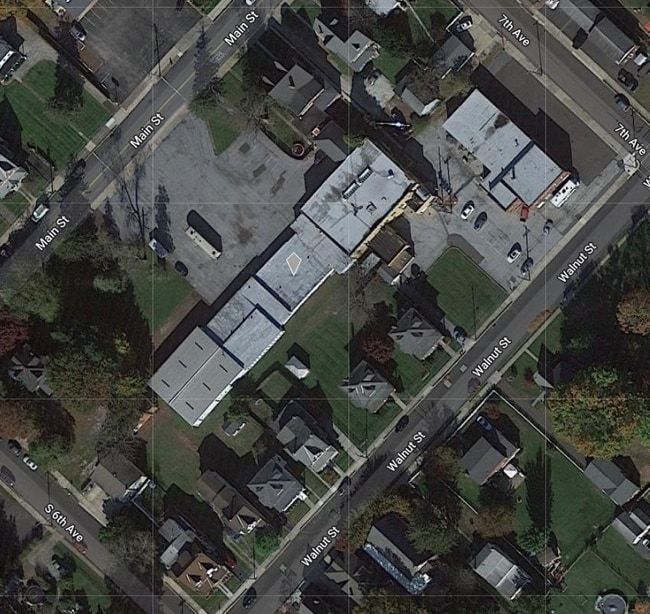
Property Record
604 Main St, Green Lane, PA 18054
NEARBY LISTINGS FOR SALE OR LEASE
-
-
View all Green Lane listings for sale on LoopNet.com
Property Detail
604 Main St
Philadelphia-Camden-Wilmington, PA-NJ-DE-MD
ASSESSOR BLOCK-UNIT NUMBER 27-2
19-00-02124-008
Montgomery
Residentialacreage
Pennsylvania
X
2
42029C0025G
0.23 AC
2024
West Montgomery Cty
2025
Philadelphia
207600
DEMOGRAPHICS near 604 Main St
1 Mile
3 Mile
5 Mile
2024 Total Population
11,040
40,757
113,132
2029 Population
11,264
41,907
116,397
Pop Growth 2024-2029
+ 2.03%
+ 2.82%
+ 2.89%
Average Age
40
40
40
2024 Total Households
4,844
15,617
43,550
HH Growth 2024-2029
+ 2.06%
+ 2.86%
+ 3.01%
Median Household Inc
$76,827
$96,064
$105,287
Avg Household Size
2.20
2.50
2.50
2024 Avg HH Vehicles
2.00
2.00
2.00
Median Home Value
$251,093
$353,903
$359,796
Median Year Built
1971
1988
1987
Nearby Places
- Restaurants
- Banks
- Shops
- Fitness
- Groceries
PUBLIC TRANSPORTATION
AIRPORT
Lehigh Valley International
DRIVE
WALK
Distance
Lehigh Valley International
46 min
32.2 mi
Freight Ports
Port of Philadelphia
DRIVE
WALK
Distance
Port of Philadelphia
55 min
35.0 mi
Nearby Properties
Address
Land Use
TOTAL SIZE
Lot Size
Zoning
Address
Land Use
TOTAL SIZE
Lot Size
Zoning
1,212.07 AC
R1
Address
Land Use
TOTAL SIZE
Lot Size
Zoning
74,052 SF
21.35 AC
R1
Address
Land Use
TOTAL SIZE
Lot Size
Zoning
44,420 SF
730 AC
R1
Address
Land Use
TOTAL SIZE
Lot Size
Zoning
61,855 SF
13.26 AC
IN
Address
Land Use
TOTAL SIZE
Lot Size
Zoning
24,794 SF
346.93 AC
R1
Address
Land Use
TOTAL SIZE
Lot Size
Zoning
15,653 SF
114.67 AC
R1
Address
Land Use
TOTAL SIZE
Lot Size
Zoning
13,896 SF
27.83 AC
IN
Address
Land Use
TOTAL SIZE
Lot Size
Zoning
25,912 SF
7.14 AC
VC
Address
Land Use
TOTAL SIZE
Lot Size
Zoning
22,441 SF
7.64 AC
IN
Address
Land Use
TOTAL SIZE
Lot Size
Zoning
14,380 SF
20.65 AC
IR
Address
Land Use
TOTAL SIZE
Lot Size
Zoning
15,330 SF
194.57 AC
R1
Address
Land Use
TOTAL SIZE
Lot Size
Zoning
65,512 SF
106.04 AC
RC5
Address
Land Use
TOTAL SIZE
Lot Size
Zoning
20,636 SF
4.24 AC
R2
Address
Land Use
TOTAL SIZE
Lot Size
Zoning
3,520 SF
106.79 AC
IR/RP
Address
Land Use
TOTAL SIZE
Lot Size
Zoning
7,621 SF
1.69 AC
C
Address
Land Use
TOTAL SIZE
Lot Size
Zoning
20,160 SF
2.41 AC
LI
Address
Land Use
TOTAL SIZE
Lot Size
Zoning
27,620 SF
13.17 AC
RA2
Address
Land Use
TOTAL SIZE
Lot Size
Zoning
91,019 SF
3.15 AC
LI
Address
Land Use
TOTAL SIZE
Lot Size
Zoning
14,877 SF
31.97 AC
IN
Address
Land Use
TOTAL SIZE
Lot Size
Zoning
20,277 SF
5.21 AC
NC
Address
Land Use
TOTAL SIZE
Lot Size
Zoning
26,612 SF
4.33 AC
LI
Address
Land Use
TOTAL SIZE
Lot Size
Zoning
4,464 SF
106.42 AC
R1
Address
Land Use
TOTAL SIZE
Lot Size
Zoning
14,008 SF
3.65 AC
R1
Address
Land Use
TOTAL SIZE
Lot Size
Zoning
26,606 SF
3 AC
VC
Address
Land Use
TOTAL SIZE
Lot Size
Zoning
9,674 SF
3.31 AC
R90
Address
Land Use
TOTAL SIZE
Lot Size
Zoning
11,429 SF
2.35 AC
RR
Address
Land Use
TOTAL SIZE
Lot Size
Zoning
18,620 SF
2.53 AC
LI
Address
Land Use
TOTAL SIZE
Lot Size
Zoning
2,199 SF
149.49 AC
IR/RP
Address
Land Use
TOTAL SIZE
Lot Size
Zoning
26,465 SF
0.95 AC
RR
Address
Land Use
TOTAL SIZE
Lot Size
Zoning
4,038 SF
5.95 AC
R2
The World's #1 Commercial Real Estate Marketplace
Connect with us
© 2025 CoStar Group
The information above has been obtained from sources believed reliable. While we do not doubt its accuracy we have not verified it and make no guarantee, warranty or representation about it. It is your responsibility to independently confirm its accuracy and completeness. Any projections, opinions, assumptions, or estimates used are for example only and do not represent the current or future performance of the property. The value of this transaction to you depends on tax and other factors which should be evaluated by your tax, financial, and legal advisors. You and your advisors should conduct a careful, independent investigation of the property to determine to your satisfaction the suitability of the property for your needs.