Property Record
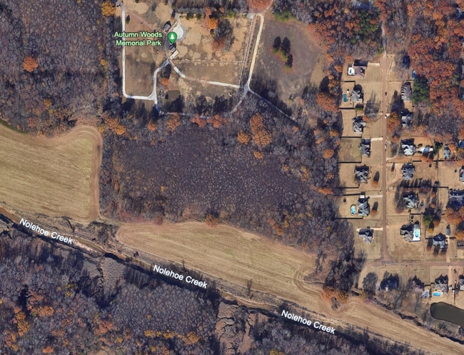
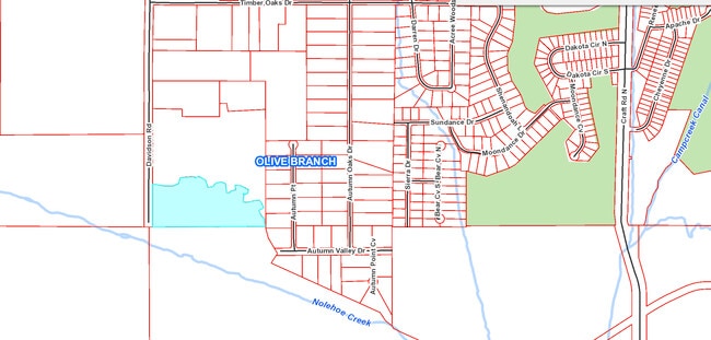
6240 Davidson Rd, Olive Branch, MS 38654

Property Detail
6240 Davidson Rd
1069310000002300
31-1-6 PT W1/2
Commercialnec
DESOTO
A-R
Mississippi
C and X Area of minimal flood hazard, usually depicted on FIRMs as above the 500-year flood level.
23
2025
22.21 AC
2025
DeSoto County
070724
Memphis
902 SF
Memphis, TN-MS-AR
NEARBY LISTINGS FOR SALE OR LEASE
DEMOGRAPHICS near 6240 Davidson Rd
1 mile
3 mile
5 mile
2024 Total Population
1,672
21,665
79,687
2029 Population
1,752
22,692
82,633
Pop Growth 2024-2029
+ 4.78%
+ 4.74%
+ 3.70%
Average Age
43
41
39
2024 Total Households
594
7,895
28,595
HH Growth 2024-2029
+ 4.71%
+ 4.74%
+ 3.68%
Median Household Inc
$100,410
$107,683
$97,218
Avg Household Size
2.80
2.70
2.80
2024 Avg HH Vehicles
2.00
2.00
2.00
Median Home Value
$384,453
$335,480
$294,440
Median Year Built
2002
2001
1999
Nearby Places
Map Layers
Map Styles
 Street
 Aerial
Transit
 Traffic
 Biking
Places
Listings with unknown addresses are not visible on the map
- Restaurants
- Banks
- Shops
- Fitness
- Groceries
PUBLIC TRANSPORTATION
AIRPORT
Memphis International
Drive
Walk
Distance
Memphis International
20 min
13.2 mi
Freight Ports
Port of Shreveport
Drive
Walk
Distance
Port of Shreveport
425 min
387.0 mi
SALE & LEASE HISTORY
LISTING DATE
SALE/LEASE

Mar 07, 2018
For Sale
Nearby Properties
Address
Land Use
TOTAL SIZE
Lot Size
Zoning
Address
Land Use
TOTAL SIZE
Lot Size
Zoning
864,054 SF
72.19 AC
M-1
Address
Land Use
TOTAL SIZE
Lot Size
Zoning
860,464 SF
54.55 AC
M-1
Address
Land Use
TOTAL SIZE
Lot Size
Zoning
693,680 SF
47.15 AC
M-1
Address
Land Use
TOTAL SIZE
Lot Size
Zoning
814,054 SF
51.14 AC
M-1
Address
Land Use
TOTAL SIZE
Lot Size
Zoning
390,874 SF
122.03 AC
M-1
Address
Land Use
TOTAL SIZE
Lot Size
Zoning
445,114 SF
32.34 AC
M-1
Address
Land Use
TOTAL SIZE
Lot Size
Zoning
368,608 SF
21.85 AC
M-1
Address
Land Use
TOTAL SIZE
Lot Size
Zoning
5,189 SF
9.62 AC
C-4
Address
Land Use
TOTAL SIZE
Lot Size
Zoning
329,096 SF
21.64 AC
M-1
Address
Land Use
TOTAL SIZE
Lot Size
Zoning
250,364 SF
13.72 AC
M-1
Address
Land Use
TOTAL SIZE
Lot Size
Zoning
217,448 SF
19.07 AC
M-1
Address
Land Use
TOTAL SIZE
Lot Size
Zoning
218,400 SF
14.52 AC
M-1
Address
Land Use
TOTAL SIZE
Lot Size
Zoning
185,731 SF
18.49 AC
C-4
Address
Land Use
TOTAL SIZE
Lot Size
Zoning
64,571 SF
11.09 AC
C-4
Address
Land Use
TOTAL SIZE
Lot Size
Zoning
193,842 SF
11.29 AC
M-1
Address
Land Use
TOTAL SIZE
Lot Size
Zoning
44,445 SF
44 AC
C-3
Address
Land Use
TOTAL SIZE
Lot Size
Zoning
30,223 SF
12.41 AC
C-4
Address
Land Use
TOTAL SIZE
Lot Size
Zoning
127,150 SF
11.17 AC
C-4
Address
Land Use
TOTAL SIZE
Lot Size
Zoning
83,020 SF
13.19 AC
C-4
Address
Land Use
TOTAL SIZE
Lot Size
Zoning
12,770 SF
Address
Land Use
TOTAL SIZE
Lot Size
Zoning
134,560 SF
15.87 AC
C-4
Address
Land Use
TOTAL SIZE
Lot Size
Zoning
46,297 SF
12.93 AC
PUD
Address
Land Use
TOTAL SIZE
Lot Size
Zoning
104,717 SF
15.81 AC
C-4
Address
Land Use
TOTAL SIZE
Lot Size
Zoning
72,099 SF
3.97 AC
C-4
Address
Land Use
TOTAL SIZE
Lot Size
Zoning
181,300 SF
12.50 AC
M-1
Address
Land Use
TOTAL SIZE
Lot Size
Zoning
128,412 SF
8.08 AC
M-1
Address
Land Use
TOTAL SIZE
Lot Size
Zoning
34,542 SF
8.41 AC
C-4
Address
Land Use
TOTAL SIZE
Lot Size
Zoning
78,000 SF
9.97 AC
M-1
Address
Land Use
TOTAL SIZE
Lot Size
Zoning
59,864 SF
6.10 AC
R-3
Address
Land Use
TOTAL SIZE
Lot Size
Zoning
61,948 SF
4.37 AC
PUD
The World's #1 Commercial Real Estate Marketplace
Connect with us
© 2026 CoStar Group
The information above has been obtained from sources believed reliable. While we do not doubt its accuracy we have not verified it and make no guarantee, warranty or representation about it. It is your responsibility to independently confirm its accuracy and completeness. Any projections, opinions, assumptions, or estimates used are for example only and do not represent the current or future performance of the property. The value of this transaction to you depends on tax and other factors which should be evaluated by your tax, financial, and legal advisors. You and your advisors should conduct a careful, independent investigation of the property to determine to your satisfaction the suitability of the property for your needs.