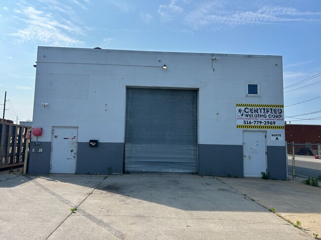
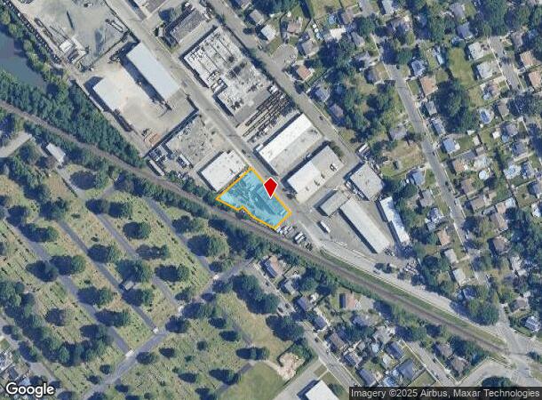
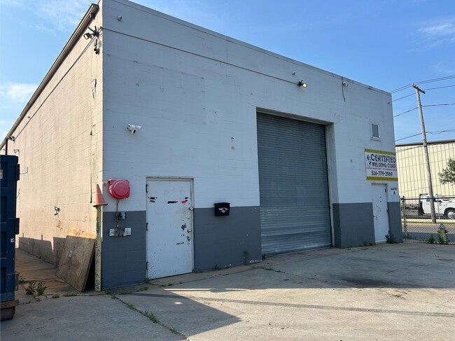
Property Record
625 N Queens Ave, Lindenhurst, NY 11757
NEARBY LISTINGS FOR SALE OR LEASE
Property Detail
625 N Queens Ave
Nassau County-Suffolk County, NY
FILED MAP 155 SEC 2 BLK 124 LT PT23-25,31-33 &ALL34-38ALL I
0103-004-00-01-00-062-002
Suffolk
Industrialgeneral
New York
X
62
36103C0853H
0.51 AC
2024
Southwest Suffolk
2024
Long Island (New York)
124002
DEMOGRAPHICS near 625 N Queens Ave
1 Mile
3 Mile
5 Mile
2024 Total Population
18,625
135,599
286,355
2029 Population
18,074
132,445
281,244
Pop Growth 2024-2029
(2.96%)
(2.33%)
(1.78%)
Average Age
42
41
41
2024 Total Households
6,445
43,658
94,371
HH Growth 2024-2029
(3.13%)
(2.63%)
(2.04%)
Median Household Inc
$114,842
$110,193
$114,996
Avg Household Size
2.80
3.00
2.90
2024 Avg HH Vehicles
2.00
2.00
2.00
Median Home Value
$455,467
$446,767
$472,291
Median Year Built
1960
1960
1960
Nearby Places
- Restaurants
- Banks
- Shops
- Fitness
- Groceries
PUBLIC TRANSPORTATION
COMMUTER RAIL
Lindenhurst Station (Babylon Branch - Long Island Rail Road)
DRIVE
WALK
Distance
Lindenhurst Station (Babylon Branch - Long Island Rail Road)
4 min
1.5 mi
Babylon Station (Babylon Branch - Long Island Rail Road, Montauk Branch - Long Island Rail Road)
DRIVE
WALK
Distance
Babylon Station (Babylon Branch - Long Island Rail Road, Montauk Branch - Long Island Rail Road)
6 min
3.3 mi
AIRPORT
Long Island MacArthur
DRIVE
WALK
Distance
Long Island MacArthur
26 min
18.1 mi
John F Kennedy International
DRIVE
WALK
Distance
John F Kennedy International
38 min
26.6 mi
LaGuardia
DRIVE
WALK
Distance
LaGuardia
49 min
33.6 mi
Freight Ports
NY - Red Hook Container Terminal
DRIVE
WALK
Distance
NY - Red Hook Container Terminal
59 min
38.1 mi
SALE & LEASE HISTORY
LISTING DATE
SALE/LEASE

Jun 09, 2025
For Lease
Nearby Properties
Address
Land Use
TOTAL SIZE
Lot Size
Zoning
Address
Land Use
TOTAL SIZE
Lot Size
Zoning
4,290 SF
1.50 AC
VILLA
Address
Land Use
TOTAL SIZE
Lot Size
Zoning
9.95 AC
BUS3
Address
Land Use
TOTAL SIZE
Lot Size
Zoning
24.90 AC
B
Address
Land Use
TOTAL SIZE
Lot Size
Zoning
9.70 AC
B
Address
Land Use
TOTAL SIZE
Lot Size
Zoning
19.40 AC
IND1
Address
Land Use
TOTAL SIZE
Lot Size
Zoning
6.37 AC
BUS3
Address
Land Use
TOTAL SIZE
Lot Size
Zoning
5,010 SF
0.30 AC
R10
Address
Land Use
TOTAL SIZE
Lot Size
Zoning
400 AC
A
Address
Land Use
TOTAL SIZE
Lot Size
Zoning
2.69 AC
BUS1
Address
Land Use
TOTAL SIZE
Lot Size
Zoning
13.63 AC
B
Address
Land Use
TOTAL SIZE
Lot Size
Zoning
0.65 AC
R40
Address
Land Use
TOTAL SIZE
Lot Size
Zoning
Address
Land Use
TOTAL SIZE
Lot Size
Zoning
44 AC
E
Address
Land Use
TOTAL SIZE
Lot Size
Zoning
2.10 AC
IND1
Address
Land Use
TOTAL SIZE
Lot Size
Zoning
9.68 AC
SC
Address
Land Use
TOTAL SIZE
Lot Size
Zoning
3.80 AC
BUS1
Address
Land Use
TOTAL SIZE
Lot Size
Zoning
114.70 AC
A
Address
Land Use
TOTAL SIZE
Lot Size
Zoning
0.46 AC
R40
Address
Land Use
TOTAL SIZE
Lot Size
Zoning
1.50 AC
B
Address
Land Use
TOTAL SIZE
Lot Size
Zoning
16.81 AC
Address
Land Use
TOTAL SIZE
Lot Size
Zoning
248.60 AC
A
Address
Land Use
TOTAL SIZE
Lot Size
Zoning
163.50 AC
A
Address
Land Use
TOTAL SIZE
Lot Size
Zoning
12.50 AC
C
Address
Land Use
TOTAL SIZE
Lot Size
Zoning
18.30 AC
Address
Land Use
TOTAL SIZE
Lot Size
Zoning
Address
Land Use
TOTAL SIZE
Lot Size
Zoning
135,605 SF
15.05 AC
E
Address
Land Use
TOTAL SIZE
Lot Size
Zoning
1,450 SF
0.08 AC
Address
Land Use
TOTAL SIZE
Lot Size
Zoning
0.63 AC
R20
Address
Land Use
TOTAL SIZE
Lot Size
Zoning
1.20 AC
IND1
Address
Land Use
TOTAL SIZE
Lot Size
Zoning
126,000 SF
4.12 AC
E
The World's #1 Commercial Real Estate Marketplace
Connect with us
© 2025 CoStar Group
The information above has been obtained from sources believed reliable. While we do not doubt its accuracy we have not verified it and make no guarantee, warranty or representation about it. It is your responsibility to independently confirm its accuracy and completeness. Any projections, opinions, assumptions, or estimates used are for example only and do not represent the current or future performance of the property. The value of this transaction to you depends on tax and other factors which should be evaluated by your tax, financial, and legal advisors. You and your advisors should conduct a careful, independent investigation of the property to determine to your satisfaction the suitability of the property for your needs.