Property Record
6253 Variel Ave, Woodland Hills, CA 91367


NEARBY LISTINGS FOR SALE OR LEASE
Property Detail
6253 Variel Ave
Los Angeles
Parcel One Recorder Memo This Copy Has N
Los Angeles-Long Beach-Glendale, CA
PM 66-16-18 LOTS D AND E
2149-001-229
Los Angeles
Retirementnursinghomecombined
California
2024
d,e
2025
2.74 AC
137202
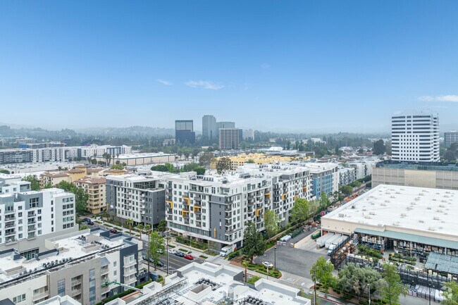
Warner Center
426,935 SF
DEMOGRAPHICS near 6253 Variel Ave
1 Mile
3 Mile
5 Mile
2024 Total Population
37,166
221,217
428,037
2029 Population
37,232
216,021
417,350
Pop Growth 2024-2029
+ 0.18%
(2.35%)
(2.50%)
Average Age
38
40
41
2024 Total Households
17,055
77,987
151,284
HH Growth 2024-2029
+ 0.25%
(2.39%)
(2.62%)
Median Household Inc
$79,391
$89,342
$89,170
Avg Household Size
2.10
2.70
2.70
2024 Avg HH Vehicles
2.00
2.00
2.00
Median Home Value
$660,862
$792,687
$811,650
Median Year Built
1989
1971
1970
Nearby Places
Map Layers
Map Styles
 Street
 Aerial
- Restaurants
- Banks
- Shops
- Fitness
- Groceries
PUBLIC TRANSPORTATION
COMMUTER RAIL
Northridge (Ventura County Line - Southern California Regional Rail Authority (Metrolink))
DRIVE
WALK
Distance
Northridge (Ventura County Line - Southern California Regional Rail Authority (Metrolink))
13 min
6.2 mi
Northridge (Pacific Surfliner - Amtrak)
DRIVE
WALK
Distance
Northridge (Pacific Surfliner - Amtrak)
13 min
6.2 mi
AIRPORT
Bob Hope
DRIVE
WALK
Distance
Bob Hope
26 min
14.8 mi
Los Angeles International
DRIVE
WALK
Distance
Los Angeles International
36 min
26.1 mi
Freight Ports
The Port of Hueneme
DRIVE
WALK
Distance
The Port of Hueneme
55 min
40.5 mi
Nearby Properties
Address
Land Use
TOTAL SIZE
Lot Size
Zoning
Address
Land Use
TOTAL SIZE
Lot Size
Zoning
1,330,065 SF
28.40 AC
LAWC
Address
Land Use
TOTAL SIZE
Lot Size
Zoning
515,900 SF
30.43 AC
LAWC
Address
Land Use
TOTAL SIZE
Lot Size
Zoning
928,124 SF
19.98 AC
LAWC
Address
Land Use
TOTAL SIZE
Lot Size
Zoning
628,282 SF
2.86 AC
LAWC
Address
Land Use
TOTAL SIZE
Lot Size
Zoning
1,595,158 SF
7.95 AC
LAWC
Address
Land Use
TOTAL SIZE
Lot Size
Zoning
441,265 SF
4.56 AC
LAWC
Address
Land Use
TOTAL SIZE
Lot Size
Zoning
532,580 SF
6.94 AC
LAWC
Address
Land Use
TOTAL SIZE
Lot Size
Zoning
967,368 SF
7.87 AC
LAWC
Address
Land Use
TOTAL SIZE
Lot Size
Zoning
254,527 SF
10.14 AC
LAWC
Address
Land Use
TOTAL SIZE
Lot Size
Zoning
454,102 SF
8.35 AC
LARAS4
Address
Land Use
TOTAL SIZE
Lot Size
Zoning
508,314 SF
10.05 AC
LAWC
Address
Land Use
TOTAL SIZE
Lot Size
Zoning
484,354 SF
5.94 AC
LAWC
Address
Land Use
TOTAL SIZE
Lot Size
Zoning
726,146 SF
7.66 AC
LAWC
Address
Land Use
TOTAL SIZE
Lot Size
Zoning
394,137 SF
2.73 AC
LAWC
Address
Land Use
TOTAL SIZE
Lot Size
Zoning
771,791 SF
9.19 AC
LAWC
Address
Land Use
TOTAL SIZE
Lot Size
Zoning
365,572 SF
8.95 AC
LAR3
Address
Land Use
TOTAL SIZE
Lot Size
Zoning
292,739 SF
1.88 AC
LAWC
Address
Land Use
TOTAL SIZE
Lot Size
Zoning
623,899 SF
1.25 AC
LAWC
Address
Land Use
TOTAL SIZE
Lot Size
Zoning
583,153 SF
4.22 AC
LACR
Address
Land Use
TOTAL SIZE
Lot Size
Zoning
334,174 SF
3.84 AC
LAWC
Address
Land Use
TOTAL SIZE
Lot Size
Zoning
691,292 SF
17.78 AC
LAWC
Address
Land Use
TOTAL SIZE
Lot Size
Zoning
308,951 SF
3.19 AC
LAWC
Address
Land Use
TOTAL SIZE
Lot Size
Zoning
302,865 SF
5.80 AC
LAWC
Address
Land Use
TOTAL SIZE
Lot Size
Zoning
313,962 SF
3 AC
LAWC
Address
Land Use
TOTAL SIZE
Lot Size
Zoning
528,264 SF
4.10 AC
LAWC
Address
Land Use
TOTAL SIZE
Lot Size
Zoning
475,019 SF
1.31 AC
LAWC
Address
Land Use
TOTAL SIZE
Lot Size
Zoning
252,317 SF
5.38 AC
LAWC
Address
Land Use
TOTAL SIZE
Lot Size
Zoning
595,008 SF
18.57 AC
LAC1
Address
Land Use
TOTAL SIZE
Lot Size
Zoning
218,113 SF
7.73 AC
LAWC
The World's #1 Commercial Real Estate Marketplace
Connect with us
© 2026 CoStar Group
The information above has been obtained from sources believed reliable. While we do not doubt its accuracy we have not verified it and make no guarantee, warranty or representation about it. It is your responsibility to independently confirm its accuracy and completeness. Any projections, opinions, assumptions, or estimates used are for example only and do not represent the current or future performance of the property. The value of this transaction to you depends on tax and other factors which should be evaluated by your tax, financial, and legal advisors. You and your advisors should conduct a careful, independent investigation of the property to determine to your satisfaction the suitability of the property for your needs.