Property Record
628 Us Highway 80 E, Sunnyvale, TX 75182

Save to a Folder
{{folder.Name}}
{{folder.ListingIds.length}} Properties
{{folder.ListingIds.length}} Property
Create a New Folder
Property Detail
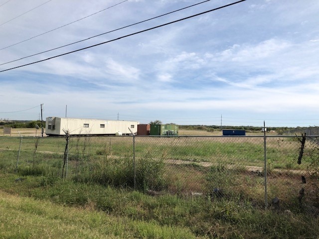
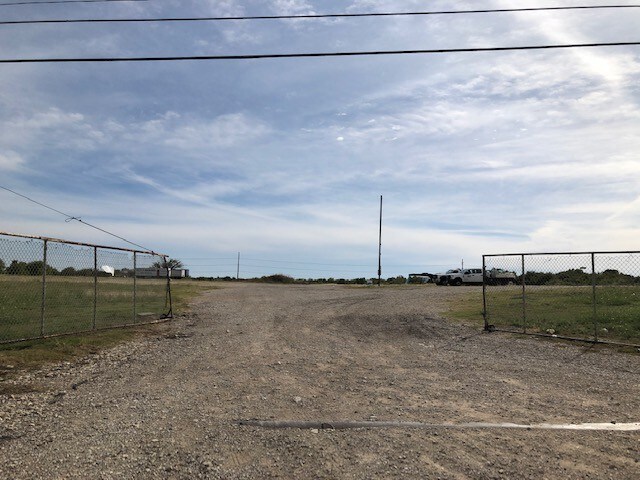
628 Us Highway 80 E
65163519010060000
B P VIVIAN ABST 1635 PG 190 PT TR 6 ACS 10.877 LESS ROW INT20080363662 DD10102008 CO-DC 1635190100600 3TS16351901
Commercialacreage
DALLAS
Z80
Texas
AE The base floodplain where base flood elevations are provided. AE Zones are now used on new format FIRMs instead of A1-A30 Zones.
10.88 AC
2025
Mesquite/Forney/Terrell
2025
Dallas/Ft Worth
018158
Dallas-Fort Worth-Arlington, TX
NEARBY LISTINGS FOR SALE OR LEASE
DEMOGRAPHICS near 628 Us Highway 80 E
1 mile
3 mile
5 mile
2025 Total Population
326
25,254
114,825
2030 Population
339
27,768
128,773
Pop Growth 2025-2030
+ 3.99%
+ 9.95%
+ 12.15%
Average Age
40
36
36
2025 Total Households
112
7,870
36,053
HH Growth 2025-2030
+ 3.57%
+ 9.38%
+ 11.15%
Median Household Inc
$119,354
$100,370
$94,037
Avg Household Size
2.90
3.20
3.10
2025 Avg HH Vehicles
3.00
2.00
2.00
Median Home Value
$647,436
$322,945
$317,530
Median Year Built
1997
1996
1995
Nearby Places
Map Layers
Map Styles
 Street
 Aerial
Layers
 Traffic
 Biking
Places
Listings with unknown addresses are not visible on the map
- Restaurants
- Banks
- Shops
- Fitness
- Groceries
PUBLIC TRANSPORTATION
AIRPORT
Dallas Love Field
Drive
Walk
Distance
Dallas Love Field
34 min
22.1 mi
Dallas-Fort Worth International
Drive
Walk
Distance
Dallas-Fort Worth International
49 min
40.2 mi
SALE & LEASE HISTORY
LISTING DATE
SALE/LEASE

Nov 01, 2019
For Sale
Nearby Properties
Address
Land Use
TOTAL SIZE
Lot Size
Zoning
Address
Land Use
TOTAL SIZE
Lot Size
Zoning
256,600 SF
80.73 AC
Z265
Address
Land Use
TOTAL SIZE
Lot Size
Zoning
877,230 SF
102.36 AC
Z05
Address
Land Use
TOTAL SIZE
Lot Size
Zoning
649,398 SF
42.19 AC
Address
Land Use
TOTAL SIZE
Lot Size
Zoning
592,958 SF
32.34 AC
Address
Land Use
TOTAL SIZE
Lot Size
Zoning
643,200 SF
30.02 AC
Z109
Address
Land Use
TOTAL SIZE
Lot Size
Zoning
0.03 AC
Z63
Address
Land Use
TOTAL SIZE
Lot Size
Zoning
1,229,138 SF
115.08 AC
Z117
Address
Land Use
TOTAL SIZE
Lot Size
Zoning
622,615 SF
35 AC
Z104
Address
Land Use
TOTAL SIZE
Lot Size
Zoning
35.49 AC
Address
Land Use
TOTAL SIZE
Lot Size
Zoning
66.34 AC
Address
Land Use
TOTAL SIZE
Lot Size
Zoning
379,619 SF
24.68 AC
Z376
Address
Land Use
TOTAL SIZE
Lot Size
Zoning
320,390 SF
21.50 AC
Z267
Address
Land Use
TOTAL SIZE
Lot Size
Zoning
349,440 SF
20.07 AC
Z104
Address
Land Use
TOTAL SIZE
Lot Size
Zoning
333,000 SF
17.04 AC
Address
Land Use
TOTAL SIZE
Lot Size
Zoning
295,916 SF
16.52 AC
Z104
Address
Land Use
TOTAL SIZE
Lot Size
Zoning
310,900 SF
18.01 AC
Address
Land Use
TOTAL SIZE
Lot Size
Zoning
342,000 SF
26.44 AC
Address
Land Use
TOTAL SIZE
Lot Size
Zoning
117,715 SF
13.18 AC
Z87
Address
Land Use
TOTAL SIZE
Lot Size
Zoning
328,530 SF
17.37 AC
Z109
Address
Land Use
TOTAL SIZE
Lot Size
Zoning
182,369 SF
12.38 AC
Z117
Address
Land Use
TOTAL SIZE
Lot Size
Zoning
139,030 SF
0.01 AC
Z31
Address
Land Use
TOTAL SIZE
Lot Size
Zoning
138,402 SF
13.30 AC
Z109
Address
Land Use
TOTAL SIZE
Lot Size
Zoning
51,013 SF
6.02 AC
Z97
Address
Land Use
TOTAL SIZE
Lot Size
Zoning
129,030 SF
29.73 AC
Z267
Address
Land Use
TOTAL SIZE
Lot Size
Zoning
93,741 SF
2.20 AC
Address
Land Use
TOTAL SIZE
Lot Size
Zoning
48,800 SF
4.06 AC
Z104
Address
Land Use
TOTAL SIZE
Lot Size
Zoning
37,448 SF
7.02 AC
Z109
Address
Land Use
TOTAL SIZE
Lot Size
Zoning
8,086 SF
91.28 AC
Z117
Address
Land Use
TOTAL SIZE
Lot Size
Zoning
55,872 SF
6 AC
Z104
Address
Land Use
TOTAL SIZE
Lot Size
Zoning
22,878 SF
2.40 AC
Z267
The World's #1 Commercial Real Estate Marketplace
Connect with us
© 2026 CoStar Group
The information above has been obtained from sources believed reliable. While we do not doubt its accuracy we have not verified it and make no guarantee, warranty or representation about it. It is your responsibility to independently confirm its accuracy and completeness. Any projections, opinions, assumptions, or estimates used are for example only and do not represent the current or future performance of the property. The value of this transaction to you depends on tax and other factors which should be evaluated by your tax, financial, and legal advisors. You and your advisors should conduct a careful, independent investigation of the property to determine to your satisfaction the suitability of the property for your needs.