Property Record
6280 E 2Nd St, Long Beach, CA 90803
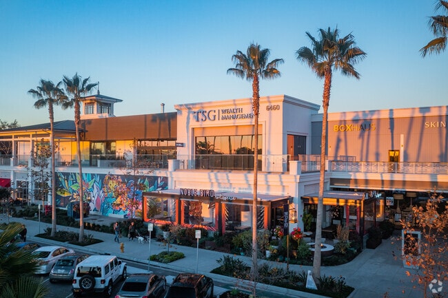

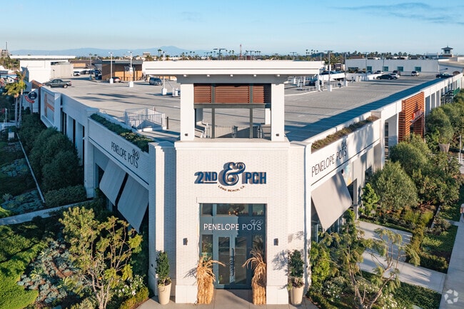
Property Detail
6280 E 2Nd St
Los Angeles-Long Beach-Glendale, CA
TR=26635 FOR DESC SEE ASSESSORS MAPS POR OF LOT 1
7242-011-014
LOS ANGELES
Regionalshoppingcenterormallwithanchorstore
California
LBPD1
1
2024
10.81 AC
2025
Long Beach: Downtown
577604
Los Angeles
225,557 SF
NEARBY LISTINGS FOR SALE OR LEASE
DEMOGRAPHICS near 6280 E 2Nd St
1 mile
3 mile
5 mile
2025 Total Population
12,931
110,726
341,324
2030 Population
12,944
110,279
339,993
Pop Growth 2025-2030
+ 0.10%
(0.40%)
(0.39%)
Average Age
50
45
42
2025 Total Households
6,488
51,180
140,950
HH Growth 2025-2030
(0.06%)
(0.54%)
(0.41%)
Median Household Inc
$122,052
$104,807
$96,898
Avg Household Size
2.00
2.10
2.30
2025 Avg HH Vehicles
2.00
2.00
2.00
Median Home Value
$1,094,571
$944,673
$893,514
Median Year Built
1969
1962
1964
Nearby Places
Map Layers
Map Styles
 Street
 Aerial
Transit
 Traffic
 Biking
Places
Listings with unknown addresses are not visible on the map
- Restaurants
- Banks
- Shops
- Fitness
- Groceries
PUBLIC TRANSPORTATION
AIRPORT
Long Beach (Daugherty Field)
Drive
Walk
Distance
Long Beach (Daugherty Field)
12 min
7.0 mi
John Wayne/Orange County
Drive
Walk
Distance
John Wayne/Orange County
22 min
16.3 mi
Los Angeles International
Drive
Walk
Distance
Los Angeles International
36 min
25.9 mi
Freight Ports
Port of Long Beach
Drive
Walk
Distance
Port of Long Beach
11 min
4.6 mi
SALE & LEASE HISTORY
LISTING DATE
SALE/LEASE

Sep 25, 2016
For Lease
May 04, 2017
For Lease
Nearby Properties
Address
Land Use
TOTAL SIZE
Lot Size
Zoning
Address
Land Use
TOTAL SIZE
Lot Size
Zoning
454,844 SF
11.37 AC
Address
Land Use
TOTAL SIZE
Lot Size
Zoning
735.20 AC
Address
Land Use
TOTAL SIZE
Lot Size
Zoning
650.36 AC
Address
Land Use
TOTAL SIZE
Lot Size
Zoning
74,318 SF
NEW SHOP C
Address
Land Use
TOTAL SIZE
Lot Size
Zoning
140,236 SF
9.21 AC
LBR4N
Address
Land Use
TOTAL SIZE
Lot Size
Zoning
199,137 SF
6.39 AC
LBR4R
Address
Land Use
TOTAL SIZE
Lot Size
Zoning
256,538 SF
6.17 AC
NEW SHOPIN
Address
Land Use
TOTAL SIZE
Lot Size
Zoning
11.07 AC
Address
Land Use
TOTAL SIZE
Lot Size
Zoning
120,843 SF
9 AC
LBCCA
Address
Land Use
TOTAL SIZE
Lot Size
Zoning
89,993 SF
16.81 AC
LBCC
Address
Land Use
TOTAL SIZE
Lot Size
Zoning
414,067 SF
9.31 AC
LBCCA
Address
Land Use
TOTAL SIZE
Lot Size
Zoning
3.97 AC
Address
Land Use
TOTAL SIZE
Lot Size
Zoning
16.18 AC
Address
Land Use
TOTAL SIZE
Lot Size
Zoning
54,112 SF
15.43 AC
LBPD1
Address
Land Use
TOTAL SIZE
Lot Size
Zoning
73,076 SF
2.53 AC
LBPD1
Address
Land Use
TOTAL SIZE
Lot Size
Zoning
320.34 AC
Address
Land Use
TOTAL SIZE
Lot Size
Zoning
11.97 AC
Address
Land Use
TOTAL SIZE
Lot Size
Zoning
85,992 SF
4.01 AC
LBR4R
Address
Land Use
TOTAL SIZE
Lot Size
Zoning
227,281 SF
2.90 AC
LBR4N
Address
Land Use
TOTAL SIZE
Lot Size
Zoning
3.32 AC
Address
Land Use
TOTAL SIZE
Lot Size
Zoning
200,280 SF
13.17 AC
LBPD1
Address
Land Use
TOTAL SIZE
Lot Size
Zoning
163,732 SF
3.54 AC
LBR4N
Address
Land Use
TOTAL SIZE
Lot Size
Zoning
243,531 SF
5.47 AC
LBCCA
Address
Land Use
TOTAL SIZE
Lot Size
Zoning
58,174 SF
0.80 AC
LBPD2
Address
Land Use
TOTAL SIZE
Lot Size
Zoning
11.93 AC
Address
Land Use
TOTAL SIZE
Lot Size
Zoning
333,991 SF
LBI
Address
Land Use
TOTAL SIZE
Lot Size
Zoning
116,184 SF
1.17 AC
LBCCA
Address
Land Use
TOTAL SIZE
Lot Size
Zoning
110,432 SF
7.16 AC
LBCCA
Address
Land Use
TOTAL SIZE
Lot Size
Zoning
198,835 SF
4.86 AC
LBCHW
The World's #1 Commercial Real Estate Marketplace
Connect with us
© 2026 CoStar Group
The information above has been obtained from sources believed reliable. While we do not doubt its accuracy we have not verified it and make no guarantee, warranty or representation about it. It is your responsibility to independently confirm its accuracy and completeness. Any projections, opinions, assumptions, or estimates used are for example only and do not represent the current or future performance of the property. The value of this transaction to you depends on tax and other factors which should be evaluated by your tax, financial, and legal advisors. You and your advisors should conduct a careful, independent investigation of the property to determine to your satisfaction the suitability of the property for your needs.