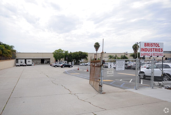
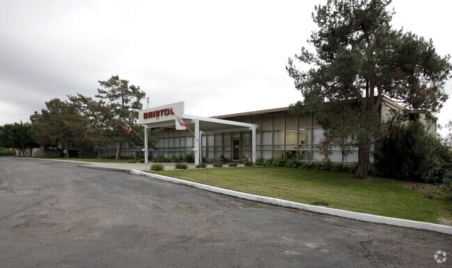
Property Record
630 E Lambert Rd, Brea, CA 92821

Property Detail
630 E Lambert Rd
Anaheim-Santa Ana-Irvine, CA
S TWP 3 RGE 10 SEC 12 SEC 12 T 3 R 10 POR N1/2 SW1/4
319-182-04
ORANGE
Industrialgeneral
California
B and X Area of moderate flood hazard, usually the area between the limits of the 100-year and 500-year floods.
1,2
2024
13.10 AC
2025
Brea/La Habra
001507
Orange County (California)
NEARBY LISTINGS FOR SALE OR LEASE
DEMOGRAPHICS near 630 E Lambert Rd
1 mile
3 mile
5 mile
2025 Total Population
19,449
110,309
334,752
2030 Population
19,568
109,799
333,219
Pop Growth 2025-2030
+ 0.61%
(0.46%)
(0.46%)
Average Age
40
41
41
2025 Total Households
7,289
38,774
110,633
HH Growth 2025-2030
+ 0.34%
(0.60%)
(0.60%)
Median Household Inc
$114,660
$112,368
$105,979
Avg Household Size
2.60
2.80
2.90
2025 Avg HH Vehicles
2.00
2.00
2.00
Median Home Value
$815,580
$889,037
$883,163
Median Year Built
1976
1973
1973
Nearby Places
Map Layers
Map Styles
 Street
 Aerial
Layers
 Traffic
 Biking
Places
Listings with unknown addresses are not visible on the map
- Restaurants
- Banks
- Shops
- Fitness
- Groceries
PUBLIC TRANSPORTATION
COMMUTER RAIL
Fullerton (91 Line - Southern California Regional Rail Authority (Metrolink), Orange County Line - Southern California Regional Rail Authority (Metrolink))
Drive
Walk
Distance
Fullerton (91 Line - Southern California Regional Rail Authority (Metrolink), Orange County Line - Southern California Regional Rail Authority (Metrolink))
13 min
5.4 mi
Industry (Riverside Line - Southern California Regional Rail Authority (Metrolink))
Drive
Walk
Distance
Industry (Riverside Line - Southern California Regional Rail Authority (Metrolink))
12 min
7.7 mi
AIRPORT
John Wayne/Orange County
Drive
Walk
Distance
John Wayne/Orange County
25 min
19.8 mi
Ontario International
Drive
Walk
Distance
Ontario International
30 min
23.4 mi
Long Beach (Daugherty Field)
Drive
Walk
Distance
Long Beach (Daugherty Field)
36 min
29.3 mi
Freight Ports
Port of Long Beach
Drive
Walk
Distance
Port of Long Beach
42 min
28.9 mi
Nearby Properties
Address
Land Use
TOTAL SIZE
Lot Size
Zoning
Address
Land Use
TOTAL SIZE
Lot Size
Zoning
0.02 AC
Address
Land Use
TOTAL SIZE
Lot Size
Zoning
18.57 AC
Address
Land Use
TOTAL SIZE
Lot Size
Zoning
23.16 AC
Address
Land Use
TOTAL SIZE
Lot Size
Zoning
Address
Land Use
TOTAL SIZE
Lot Size
Zoning
65.54 AC
Address
Land Use
TOTAL SIZE
Lot Size
Zoning
325,249 SF
19.20 AC
R3R
Address
Land Use
TOTAL SIZE
Lot Size
Zoning
3.14 AC
Address
Land Use
TOTAL SIZE
Lot Size
Zoning
26.38 AC
Address
Land Use
TOTAL SIZE
Lot Size
Zoning
35.82 AC
Address
Land Use
TOTAL SIZE
Lot Size
Zoning
Address
Land Use
TOTAL SIZE
Lot Size
Zoning
Address
Land Use
TOTAL SIZE
Lot Size
Zoning
18.65 AC
Address
Land Use
TOTAL SIZE
Lot Size
Zoning
Address
Land Use
TOTAL SIZE
Lot Size
Zoning
32.48 AC
Address
Land Use
TOTAL SIZE
Lot Size
Zoning
12.02 AC
Address
Land Use
TOTAL SIZE
Lot Size
Zoning
161,342 SF
9.16 AC
Address
Land Use
TOTAL SIZE
Lot Size
Zoning
17.20 AC
Address
Land Use
TOTAL SIZE
Lot Size
Zoning
231,156 SF
8.06 AC
Address
Land Use
TOTAL SIZE
Lot Size
Zoning
223,000 SF
16.58 AC
CGPD
Address
Land Use
TOTAL SIZE
Lot Size
Zoning
4.28 AC
Address
Land Use
TOTAL SIZE
Lot Size
Zoning
16.88 AC
Address
Land Use
TOTAL SIZE
Lot Size
Zoning
9.36 AC
Address
Land Use
TOTAL SIZE
Lot Size
Zoning
13.40 AC
Address
Land Use
TOTAL SIZE
Lot Size
Zoning
228,897 SF
9.63 AC
Address
Land Use
TOTAL SIZE
Lot Size
Zoning
Address
Land Use
TOTAL SIZE
Lot Size
Zoning
155,244 SF
8.13 AC
R3
Address
Land Use
TOTAL SIZE
Lot Size
Zoning
98,074 SF
3.63 AC
Address
Land Use
TOTAL SIZE
Lot Size
Zoning
26.65 AC
Address
Land Use
TOTAL SIZE
Lot Size
Zoning
248,822 SF
9.72 AC
The World's #1 Commercial Real Estate Marketplace
Connect with us
© 2026 CoStar Group
The information above has been obtained from sources believed reliable. While we do not doubt its accuracy we have not verified it and make no guarantee, warranty or representation about it. It is your responsibility to independently confirm its accuracy and completeness. Any projections, opinions, assumptions, or estimates used are for example only and do not represent the current or future performance of the property. The value of this transaction to you depends on tax and other factors which should be evaluated by your tax, financial, and legal advisors. You and your advisors should conduct a careful, independent investigation of the property to determine to your satisfaction the suitability of the property for your needs.