Property Record
630 Lashley St, Longmont, CO 80504


Property Detail
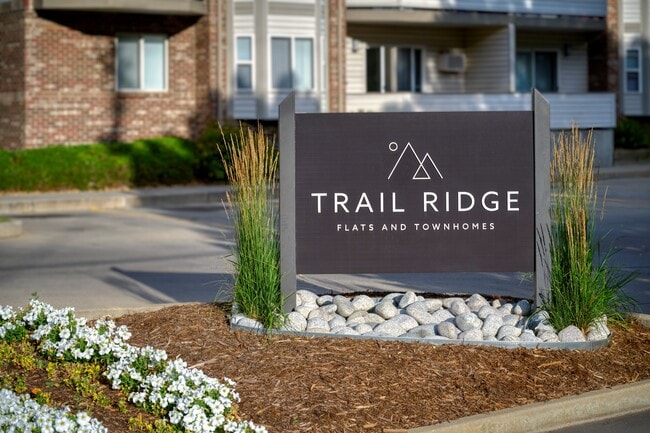
630 Lashley St
Boulder, CO
PARCEL OF LAND AKA (LOT 1) SUNNYVALE 7 REPLAT B 4.098 ACS M/L PER DEED 1543275 8/29/95 BCR
1315022-37-001
Boulder
Multifamilydwelling
Colorado
B and X Area of moderate flood hazard, usually the area between the limits of the 100-year and 500-year floods.
1
2025
4.08 AC
2026
Longmont/Northwest Boulder County
013402
Denver
110,660 SF
NEARBY LISTINGS FOR SALE OR LEASE
DEMOGRAPHICS near 630 Lashley St
1 mile
3 mile
5 mile
2025 Total Population
13,018
77,337
103,902
2030 Population
12,930
77,469
104,198
Pop Growth 2025-2030
(0.68%)
+ 0.17%
+ 0.28%
Average Age
40
41
41
2025 Total Households
5,093
30,993
41,464
HH Growth 2025-2030
(0.53%)
+ 0.24%
+ 0.26%
Median Household Inc
$73,219
$83,629
$88,505
Avg Household Size
2.40
2.40
2.40
2025 Avg HH Vehicles
2.00
2.00
2.00
Median Home Value
$474,968
$593,473
$643,035
Median Year Built
1976
1984
1990
Nearby Places
Map Layers
Map Styles
 Street
 Aerial
Layers
 Traffic
 Biking
Places
Listings with unknown addresses are not visible on the map
- Restaurants
- Banks
- Shops
- Fitness
- Groceries
Nearby Properties
Address
Land Use
TOTAL SIZE
Lot Size
Zoning
Address
Land Use
TOTAL SIZE
Lot Size
Zoning
638,659 SF
62.59 AC
Address
Land Use
TOTAL SIZE
Lot Size
Zoning
304,151 SF
45.04 AC
Address
Land Use
TOTAL SIZE
Lot Size
Zoning
219,393 SF
25.13 AC
Address
Land Use
TOTAL SIZE
Lot Size
Zoning
73.36 AC
A
Address
Land Use
TOTAL SIZE
Lot Size
Zoning
1,092 SF
150.73 AC
A
Address
Land Use
TOTAL SIZE
Lot Size
Zoning
146.34 AC
A
Address
Land Use
TOTAL SIZE
Lot Size
Zoning
34,137 SF
19.99 AC
Address
Land Use
TOTAL SIZE
Lot Size
Zoning
75.02 AC
A
Address
Land Use
TOTAL SIZE
Lot Size
Zoning
139.01 AC
A
Address
Land Use
TOTAL SIZE
Lot Size
Zoning
277,017 SF
16.42 AC
Address
Land Use
TOTAL SIZE
Lot Size
Zoning
54.45 AC
Address
Land Use
TOTAL SIZE
Lot Size
Zoning
45.32 AC
Address
Land Use
TOTAL SIZE
Lot Size
Zoning
74.32 AC
A
Address
Land Use
TOTAL SIZE
Lot Size
Zoning
33.81 AC
Address
Land Use
TOTAL SIZE
Lot Size
Zoning
333,909 SF
143.20 AC
Address
Land Use
TOTAL SIZE
Lot Size
Zoning
163,691 SF
9.11 AC
Address
Land Use
TOTAL SIZE
Lot Size
Zoning
107,805 SF
7.45 AC
Address
Land Use
TOTAL SIZE
Lot Size
Zoning
152,218 SF
10.48 AC
Address
Land Use
TOTAL SIZE
Lot Size
Zoning
71.22 AC
A
Address
Land Use
TOTAL SIZE
Lot Size
Zoning
291,901 SF
13.51 AC
Address
Land Use
TOTAL SIZE
Lot Size
Zoning
277,321 SF
14.96 AC
Address
Land Use
TOTAL SIZE
Lot Size
Zoning
18.42 AC
Address
Land Use
TOTAL SIZE
Lot Size
Zoning
358,412 SF
13.52 AC
Address
Land Use
TOTAL SIZE
Lot Size
Zoning
13.93 AC
Address
Land Use
TOTAL SIZE
Lot Size
Zoning
344,797 SF
11.81 AC
Address
Land Use
TOTAL SIZE
Lot Size
Zoning
146,153 SF
13.60 AC
Address
Land Use
TOTAL SIZE
Lot Size
Zoning
152,160 SF
9.02 AC
Address
Land Use
TOTAL SIZE
Lot Size
Zoning
19.49 AC
Address
Land Use
TOTAL SIZE
Lot Size
Zoning
133,569 SF
14.67 AC
Address
Land Use
TOTAL SIZE
Lot Size
Zoning
167,821 SF
14.26 AC
The World's #1 Commercial Real Estate Marketplace
Connect with us
© 2026 CoStar Group
The information above has been obtained from sources believed reliable. While we do not doubt its accuracy we have not verified it and make no guarantee, warranty or representation about it. It is your responsibility to independently confirm its accuracy and completeness. Any projections, opinions, assumptions, or estimates used are for example only and do not represent the current or future performance of the property. The value of this transaction to you depends on tax and other factors which should be evaluated by your tax, financial, and legal advisors. You and your advisors should conduct a careful, independent investigation of the property to determine to your satisfaction the suitability of the property for your needs.