Property Record
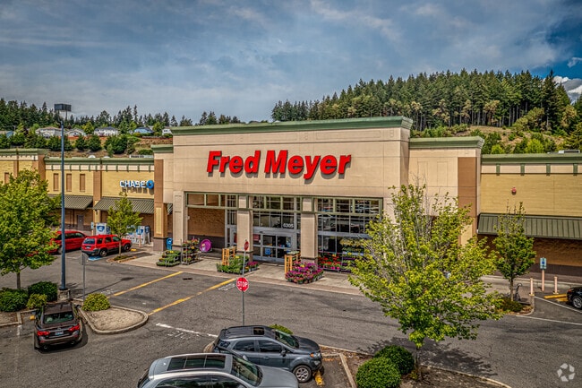
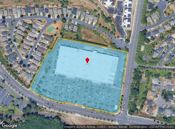
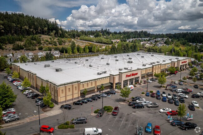
6305 Bridgeport Way W, University Place, WA 98467
NEARBY LISTINGS FOR SALE OR LEASE
Property Detail
6305 Bridgeport Way W
400170-0690
The Quarry P.D.D.
Storebuilding
SECTION 22 TOWNSHIP 20 RANGE 02 QUARTER 44 THE QUARRY P.D.D. TR I EXC POR CYD TO CY OF UP FOR ADD/L R/W BY ETN 4050328 TOG/W EASE OF REC OUT OF 4-053 4-018 SEG K0023 MD 9/15/98MD DC/BL 05-19-05BL
X
Pierce
53053C0284E
Washington
2024
10.29 AC
2025
Univ. Place/Lakewood
072312
Seattle/Puget Sound
134,804 SF
Seattle-Tacoma-Bellevue, WA
DEMOGRAPHICS near 6305 Bridgeport Way W
1 Mile
3 Mile
5 Mile
2024 Total Population
12,738
107,876
261,708
2029 Population
13,172
111,278
270,645
Pop Growth 2024-2029
+ 3.41%
+ 3.15%
+ 3.41%
Average Age
41
39
39
2024 Total Households
5,111
43,325
103,630
HH Growth 2024-2029
+ 3.50%
+ 3.26%
+ 3.50%
Median Household Inc
$90,218
$73,212
$73,223
Avg Household Size
2.40
2.40
2.40
2024 Avg HH Vehicles
2.00
2.00
2.00
Median Home Value
$497,568
$449,819
$435,402
Median Year Built
1984
1977
1973
Nearby Places
- Restaurants
- Banks
- Shops
- Fitness
- Groceries
PUBLIC TRANSPORTATION
COMMUTER RAIL
DRIVE
WALK
Distance
7 min
2.6 mi
DRIVE
WALK
Distance
11 min
4.7 mi
AIRPORT
Seattle-Tacoma International
DRIVE
WALK
Distance
Seattle-Tacoma International
47 min
27.7 mi
Freight Ports
Port of Tacoma
DRIVE
WALK
Distance
Port of Tacoma
20 min
9.2 mi
Nearby Properties
Address
Land Use
TOTAL SIZE
Lot Size
Zoning
Address
Land Use
TOTAL SIZE
Lot Size
Zoning
1,379,695 SF
215.71 AC
LKWD
Address
Land Use
TOTAL SIZE
Lot Size
Zoning
509,712 SF
70.20 AC
PI
Address
Land Use
TOTAL SIZE
Lot Size
Zoning
566,355 SF
69.03 AC
Address
Land Use
TOTAL SIZE
Lot Size
Zoning
1,056,518 SF
65.31 AC
LKWD
Address
Land Use
TOTAL SIZE
Lot Size
Zoning
12,075 SF
254.10 AC
LKWD
Address
Land Use
TOTAL SIZE
Lot Size
Zoning
87,528 SF
224.76 AC
R1
Address
Land Use
TOTAL SIZE
Lot Size
Zoning
412,549 SF
56.87 AC
R1
Address
Land Use
TOTAL SIZE
Lot Size
Zoning
309,156 SF
33.79 AC
M2
Address
Land Use
TOTAL SIZE
Lot Size
Zoning
296,154 SF
46.83 AC
R2
Address
Land Use
TOTAL SIZE
Lot Size
Zoning
358,200 SF
27.25 AC
R3
Address
Land Use
TOTAL SIZE
Lot Size
Zoning
222,641 SF
15.41 AC
R4L
Address
Land Use
TOTAL SIZE
Lot Size
Zoning
8,177 SF
343.30 AC
R1
Address
Land Use
TOTAL SIZE
Lot Size
Zoning
238,852 SF
15.34 AC
OSR1
Address
Land Use
TOTAL SIZE
Lot Size
Zoning
100,856 SF
19.76 AC
R2
Address
Land Use
TOTAL SIZE
Lot Size
Zoning
244,143 SF
11.79 AC
MF3
Address
Land Use
TOTAL SIZE
Lot Size
Zoning
211,786 SF
16.84 AC
MF2
Address
Land Use
TOTAL SIZE
Lot Size
Zoning
149,844 SF
11.50 AC
MF
Address
Land Use
TOTAL SIZE
Lot Size
Zoning
254,934 SF
5.02 AC
MF
Address
Land Use
TOTAL SIZE
Lot Size
Zoning
140,287 SF
12.95 AC
MF2
Address
Land Use
TOTAL SIZE
Lot Size
Zoning
162,000 SF
9.93 AC
Address
Land Use
TOTAL SIZE
Lot Size
Zoning
125,725 SF
9.17 AC
MF2
Address
Land Use
TOTAL SIZE
Lot Size
Zoning
149,364 SF
35.69 AC
PI
Address
Land Use
TOTAL SIZE
Lot Size
Zoning
332,140 SF
9.23 AC
M2
Address
Land Use
TOTAL SIZE
Lot Size
Zoning
267,056 SF
39.14 AC
PI
Address
Land Use
TOTAL SIZE
Lot Size
Zoning
61.20 AC
M2
Address
Land Use
TOTAL SIZE
Lot Size
Zoning
117,608 SF
10.11 AC
R3
Address
Land Use
TOTAL SIZE
Lot Size
Zoning
160,514 SF
15.61 AC
MF2
Address
Land Use
TOTAL SIZE
Lot Size
Zoning
293,624 SF
21.16 AC
IBP
Address
Land Use
TOTAL SIZE
Lot Size
Zoning
169,397 SF
18.65 AC
CBD
Address
Land Use
TOTAL SIZE
Lot Size
Zoning
133,660 SF
6.79 AC
MF
The World's #1 Commercial Real Estate Marketplace
Connect with us
© 2025 CoStar Group
The information above has been obtained from sources believed reliable. While we do not doubt its accuracy we have not verified it and make no guarantee, warranty or representation about it. It is your responsibility to independently confirm its accuracy and completeness. Any projections, opinions, assumptions, or estimates used are for example only and do not represent the current or future performance of the property. The value of this transaction to you depends on tax and other factors which should be evaluated by your tax, financial, and legal advisors. You and your advisors should conduct a careful, independent investigation of the property to determine to your satisfaction the suitability of the property for your needs.