Property Record
6290 Stage Rd, Bartlett, TN 38134

NEARBY LISTINGS FOR SALE OR LEASE
-
-
-
-
-
-
-
-
New Brownsville Road; Just North Of St Elmo
Memphis, TN 38135
$218,000 - $518,000
13.50 - 14.30 AC Lot
Land
-
-
-
View all Bartlett listings for sale on LoopNet.com
Property Detail
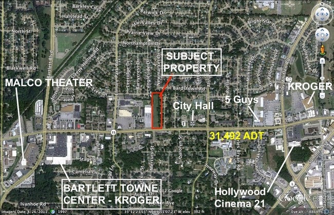
6290 Stage Rd
Memphis, TN-MS-AR
Shoneys Plaza
B0-157-0-0711C
NS STAGE RD SEE MAP D157
Restaurantbuilding
Shelby
X
Tennessee
47157C0303G
1&2
2024
4.77 AC
2025
North
020652
Memphis
2,962 SF
DEMOGRAPHICS near 6290 Stage Rd
1 Mile
3 Mile
5 Mile
2024 Total Population
7,688
68,703
160,977
2029 Population
7,457
66,636
156,882
Pop Growth 2024-2029
(3.00%)
(3.01%)
(2.54%)
Average Age
44
39
37
2024 Total Households
2,977
26,502
61,414
HH Growth 2024-2029
(3.09%)
(3.09%)
(2.63%)
Median Household Inc
$69,575
$60,993
$59,738
Avg Household Size
2.50
2.50
2.50
2024 Avg HH Vehicles
2.00
2.00
2.00
Median Home Value
$186,218
$179,611
$189,641
Median Year Built
1979
1982
1983
Nearby Places
Map Layers
Map Styles
 Street
 Aerial
- Restaurants
- Banks
- Shops
- Fitness
- Groceries
PUBLIC TRANSPORTATION
AIRPORT
Memphis International
DRIVE
WALK
Distance
Memphis International
35 min
17.8 mi
SALE & LEASE HISTORY
LISTING DATE
SALE/LEASE

Sep 24, 2016
For Sale
Nearby Properties
Address
Land Use
TOTAL SIZE
Lot Size
Zoning
Address
Land Use
TOTAL SIZE
Lot Size
Zoning
231,038 SF
24.97 AC
RU-2
Address
Land Use
TOTAL SIZE
Lot Size
Zoning
207,537 SF
21.73 AC
C-G
Address
Land Use
TOTAL SIZE
Lot Size
Zoning
134,272 SF
28.85 AC
CMP-1
Address
Land Use
TOTAL SIZE
Lot Size
Zoning
94,003 SF
7.20 AC
CMU-2
Address
Land Use
TOTAL SIZE
Lot Size
Zoning
75,099 SF
12.22 AC
EMP
Address
Land Use
TOTAL SIZE
Lot Size
Zoning
62,852 SF
10.15 AC
RS-12
Address
Land Use
TOTAL SIZE
Lot Size
Zoning
108,678 SF
8.99 AC
R-E
Address
Land Use
TOTAL SIZE
Lot Size
Zoning
56,431 SF
1.24 AC
C-G
Address
Land Use
TOTAL SIZE
Lot Size
Zoning
133,020 SF
11.73 AC
SC-1
Address
Land Use
TOTAL SIZE
Lot Size
Zoning
198,103 SF
17.75 AC
CG-MS
Address
Land Use
TOTAL SIZE
Lot Size
Zoning
39,581 SF
7.69 AC
R-6
Address
Land Use
TOTAL SIZE
Lot Size
Zoning
449,267 SF
20.03 AC
RU-3
Address
Land Use
TOTAL SIZE
Lot Size
Zoning
80,836 SF
6.84 AC
RU-3
Address
Land Use
TOTAL SIZE
Lot Size
Zoning
191,316 SF
21.71 AC
CMU-3
Address
Land Use
TOTAL SIZE
Lot Size
Zoning
199,320 SF
9.05 AC
CA
Address
Land Use
TOTAL SIZE
Lot Size
Zoning
30,201 SF
44.30 AC
RU-2
Address
Land Use
TOTAL SIZE
Lot Size
Zoning
134,599 SF
6.43 AC
I-P
Address
Land Use
TOTAL SIZE
Lot Size
Zoning
256,617 SF
10.54 AC
I-P
Address
Land Use
TOTAL SIZE
Lot Size
Zoning
37,490 SF
4.42 AC
CMU-2
Address
Land Use
TOTAL SIZE
Lot Size
Zoning
86,875 SF
7.09 AC
I-P
Address
Land Use
TOTAL SIZE
Lot Size
Zoning
253,831 SF
16.74 AC
EMP
Address
Land Use
TOTAL SIZE
Lot Size
Zoning
62,400 SF
38.29 AC
RU-3
Address
Land Use
TOTAL SIZE
Lot Size
Zoning
142,703 SF
18.62 AC
CMU-3
Address
Land Use
TOTAL SIZE
Lot Size
Zoning
39,018 SF
22.21 AC
RU-2
Address
Land Use
TOTAL SIZE
Lot Size
Zoning
50,818 SF
13.30 AC
RU-3
Address
Land Use
TOTAL SIZE
Lot Size
Zoning
217,564 SF
20.41 AC
AG
Address
Land Use
TOTAL SIZE
Lot Size
Zoning
312,440 SF
22.36 AC
RU-3
Address
Land Use
TOTAL SIZE
Lot Size
Zoning
67,961 SF
19.02 AC
RU-3
Address
Land Use
TOTAL SIZE
Lot Size
Zoning
64,294 SF
4.90 AC
CMU-3
Address
Land Use
TOTAL SIZE
Lot Size
Zoning
67,640 SF
20.28 AC
R-M
The World's #1 Commercial Real Estate Marketplace
Connect with us
© 2025 CoStar Group
The information above has been obtained from sources believed reliable. While we do not doubt its accuracy we have not verified it and make no guarantee, warranty or representation about it. It is your responsibility to independently confirm its accuracy and completeness. Any projections, opinions, assumptions, or estimates used are for example only and do not represent the current or future performance of the property. The value of this transaction to you depends on tax and other factors which should be evaluated by your tax, financial, and legal advisors. You and your advisors should conduct a careful, independent investigation of the property to determine to your satisfaction the suitability of the property for your needs.