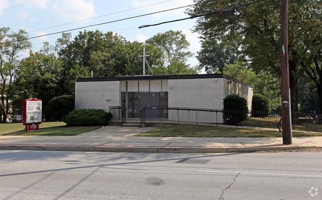
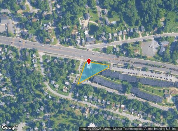
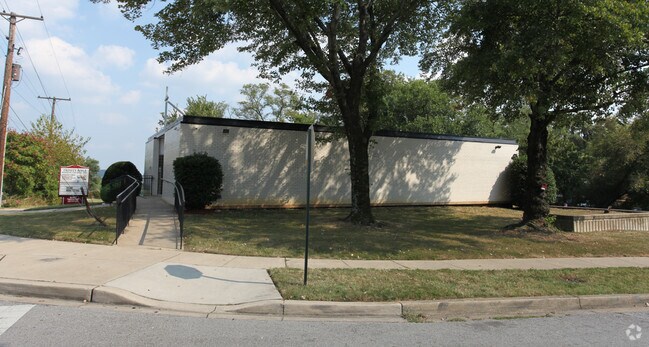
Property Record
6307 Landover Rd, Cheverly, MD 20785
NEARBY LISTINGS FOR SALE OR LEASE
Property Detail
6307 Landover Rd
02-0174326
PARCEL A
Officebuilding
Prince George's
X
Maryland
24033C0141E
0.71 AC
2024
Landover/Largo/Captl Hts
2025
Washington, DC
804101
Washington-Arlington-Alexandria, DC-VA-MD-WV
2,400 SF
DEMOGRAPHICS near 6307 Landover Rd
1 mile
3 mile
5 mile
2024 Total Population
18,996
163,341
451,161
2029 Population
18,487
158,382
433,134
Pop Growth 2024-2029
(2.68%)
(3.04%)
(4.00%)
Average Age
38
37
38
2024 Total Households
6,631
54,712
162,026
HH Growth 2024-2029
(2.77%)
(3.40%)
(4.57%)
Median Household Inc
$74,752
$68,182
$72,659
Avg Household Size
2.80
2.90
2.60
2024 Avg HH Vehicles
2.00
2.00
1.00
Median Home Value
$359,727
$343,479
$383,174
Median Year Built
1963
1964
1965
Nearby Places
Map Layers
Map Styles
 Street
 Aerial
Transit
 Traffic
 Biking
Places
Listings with unknown addresses are not visible on the map
- Restaurants
- Banks
- Shops
- Fitness
- Groceries
PUBLIC TRANSPORTATION
COMMUTER RAIL
New Carrollton (Penn Line - Maryland Area Regional Commuter Trains (The MARC))
Drive
Walk
Distance
New Carrollton (Penn Line - Maryland Area Regional Commuter Trains (The MARC))
6 min
3.2 mi
Riverdale (Camden Line - Maryland Area Regional Commuter Trains (The MARC))
Drive
Walk
Distance
Riverdale (Camden Line - Maryland Area Regional Commuter Trains (The MARC))
8 min
3.7 mi
AIRPORT
Ronald Reagan Washington Ntl
Drive
Walk
Distance
Ronald Reagan Washington Ntl
22 min
13.3 mi
Baltimore/Washington International Thurgood Marshall
Drive
Walk
Distance
Baltimore/Washington International Thurgood Marshall
37 min
25.2 mi
Washington Dulles International
Drive
Walk
Distance
Washington Dulles International
56 min
36.0 mi
Freight Ports
Port of Baltimore
Drive
Walk
Distance
Port of Baltimore
46 min
31.5 mi
Nearby Properties
Address
Land Use
TOTAL SIZE
Lot Size
Zoning
Address
Land Use
TOTAL SIZE
Lot Size
Zoning
1,631,415 SF
24.33 AC
RTOHC
Address
Land Use
TOTAL SIZE
Lot Size
Zoning
2,985,682 SF
4.33 AC
RSF65
Address
Land Use
TOTAL SIZE
Lot Size
Zoning
236,535 SF
12.54 AC
R-2
Address
Land Use
TOTAL SIZE
Lot Size
Zoning
177,081 SF
23.22 AC
LCD
Address
Land Use
TOTAL SIZE
Lot Size
Zoning
944,105 SF
23.09 AC
CGO
Address
Land Use
TOTAL SIZE
Lot Size
Zoning
62.03 AC
UNZONED
Address
Land Use
TOTAL SIZE
Lot Size
Zoning
337,216 SF
1.18 AC
RTOHC
Address
Land Use
TOTAL SIZE
Lot Size
Zoning
821,240 SF
48.32 AC
IH
Address
Land Use
TOTAL SIZE
Lot Size
Zoning
337,500 SF
12.48 AC
RTOLE
Address
Land Use
TOTAL SIZE
Lot Size
Zoning
395,538 SF
9.89 AC
RTOLE
Address
Land Use
TOTAL SIZE
Lot Size
Zoning
132,000 SF
RA-1
Address
Land Use
TOTAL SIZE
Lot Size
Zoning
230,000 SF
4.25 AC
MU-5A;RA-4
Address
Land Use
TOTAL SIZE
Lot Size
Zoning
1,082,460 SF
9.28 AC
RTOHC
Address
Land Use
TOTAL SIZE
Lot Size
Zoning
379,168 SF
18.94 AC
RMF20
Address
Land Use
TOTAL SIZE
Lot Size
Zoning
181,530 SF
4.72 AC
R-2
Address
Land Use
TOTAL SIZE
Lot Size
Zoning
2.35 AC
RTOHC
Address
Land Use
TOTAL SIZE
Lot Size
Zoning
327,240 SF
1.72 AC
RTOHC
Address
Land Use
TOTAL SIZE
Lot Size
Zoning
10.63 AC
RMF20
Address
Land Use
TOTAL SIZE
Lot Size
Zoning
123,950 SF
4.65 AC
R-2
Address
Land Use
TOTAL SIZE
Lot Size
Zoning
256,896 SF
34.96 AC
RSF65
Address
Land Use
TOTAL SIZE
Lot Size
Zoning
368,038 SF
12.87 AC
IE
Address
Land Use
TOTAL SIZE
Lot Size
Zoning
206,118 SF
0.82 AC
RA-1
Address
Land Use
TOTAL SIZE
Lot Size
Zoning
12,000 SF
1.47 AC
NAC
Address
Land Use
TOTAL SIZE
Lot Size
Zoning
99,269 SF
4.73 AC
RA-1
Address
Land Use
TOTAL SIZE
Lot Size
Zoning
142,636 SF
3.69 AC
RA-1
Address
Land Use
TOTAL SIZE
Lot Size
Zoning
216,000 SF
3.56 AC
LMUTC
Address
Land Use
TOTAL SIZE
Lot Size
Zoning
194,850 SF
8.90 AC
LTOE
Address
Land Use
TOTAL SIZE
Lot Size
Zoning
67,763 SF
1.66 AC
R-2
Address
Land Use
TOTAL SIZE
Lot Size
Zoning
18.35 AC
UNZONED
Address
Land Use
TOTAL SIZE
Lot Size
Zoning
2.09 AC
RTOHC
The World's #1 Commercial Real Estate Marketplace
Connect with us
© 2026 CoStar Group
The information above has been obtained from sources believed reliable. While we do not doubt its accuracy we have not verified it and make no guarantee, warranty or representation about it. It is your responsibility to independently confirm its accuracy and completeness. Any projections, opinions, assumptions, or estimates used are for example only and do not represent the current or future performance of the property. The value of this transaction to you depends on tax and other factors which should be evaluated by your tax, financial, and legal advisors. You and your advisors should conduct a careful, independent investigation of the property to determine to your satisfaction the suitability of the property for your needs.