Property Record
632 N State Rt 17, Paramus, NJ 07652
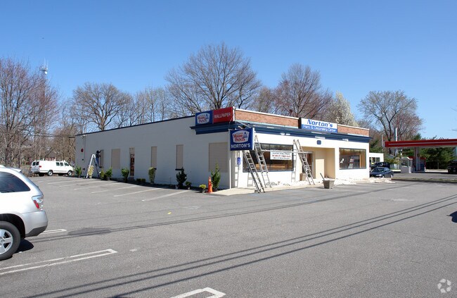


Property Detail
632 N State Rt 17
46-06201-0000-00003
115X182
Commercialnec
Bergen
BIL
New Jersey
A Areas with a 1% annual chance of flooding and a 26% chance of flooding over the life of a 30-year mortgage.
3
2024
0.48 AC
2025
Route 4/17
042302
Northern New Jersey
5,328 SF
New York-Jersey City-White Plains, NY-NJ
NEARBY LISTINGS FOR SALE OR LEASE
DEMOGRAPHICS near 632 N State Rt 17
1 mile
3 mile
5 mile
2025 Total Population
8,476
111,775
382,460
2030 Population
8,818
115,323
392,999
Pop Growth 2025-2030
+ 4.03%
+ 3.17%
+ 2.76%
Average Age
45
43
42
2025 Total Households
2,630
37,683
133,970
HH Growth 2025-2030
+ 4.07%
+ 3.17%
+ 2.81%
Median Household Inc
$156,152
$160,816
$128,358
Avg Household Size
3.00
2.90
2.80
2025 Avg HH Vehicles
2.00
2.00
2.00
Median Home Value
$788,382
$749,754
$661,916
Median Year Built
1960
1956
1955
Nearby Places
Map Layers
Map Styles
 Street
 Aerial
Layers
 Traffic
 Biking
Places
Listings with unknown addresses are not visible on the map
- Restaurants
- Banks
- Shops
- Fitness
- Groceries
PUBLIC TRANSPORTATION
COMMUTER RAIL
Ridgewood (Bergen County/Port Jervis Line - NJ Transit Commuter Rail (NJ Transit), Main/Port Jervis Line - NJ Transit Commuter Rail (NJ Transit))
Drive
Walk
Distance
Ridgewood (Bergen County/Port Jervis Line - NJ Transit Commuter Rail (NJ Transit), Main/Port Jervis Line - NJ Transit Commuter Rail (NJ Transit))
8 min
3.3 mi
Oradell (Pascack Valley Line - NJ Transit Commuter Rail (NJ Transit))
Drive
Walk
Distance
Oradell (Pascack Valley Line - NJ Transit Commuter Rail (NJ Transit))
6 min
3.3 mi
AIRPORT
LaGuardia
Drive
Walk
Distance
LaGuardia
39 min
22.6 mi
Newark Liberty International
Drive
Walk
Distance
Newark Liberty International
31 min
22.9 mi
Westchester County
Drive
Walk
Distance
Westchester County
49 min
35.0 mi
Freight Ports
Maher Terminal
Drive
Walk
Distance
Maher Terminal
40 min
25.1 mi
The World's #1 Commercial Real Estate Marketplace
Connect with us
© 2026 CoStar Group
The information above has been obtained from sources believed reliable. While we do not doubt its accuracy we have not verified it and make no guarantee, warranty or representation about it. It is your responsibility to independently confirm its accuracy and completeness. Any projections, opinions, assumptions, or estimates used are for example only and do not represent the current or future performance of the property. The value of this transaction to you depends on tax and other factors which should be evaluated by your tax, financial, and legal advisors. You and your advisors should conduct a careful, independent investigation of the property to determine to your satisfaction the suitability of the property for your needs.