Property Record
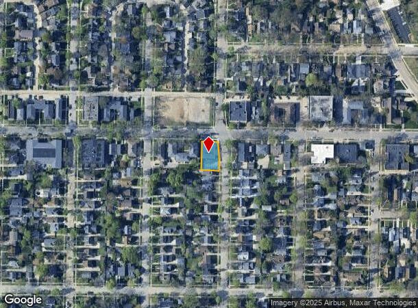
633 E Henry Clay St, Milwaukee, WI 53217

NEARBY LISTINGS FOR SALE OR LEASE
Property Detail
633 E Henry Clay St
Milwaukee-Waukesha, WI
Whitefish Bay Improv Co Sub
202-0153-000
WHITEFISH BAY IMPROVEMENT CO SUBD NO. 1 LOT 1 & LOT 2 BLK 3 EXC PT OF LOT 1 TAKEN FOR ST, COM AT NE COR LOT 1, THEN S 60', THEN NW LY 60.4' TO PT 7' W OFNE COR LOT 1, THEN E'LY 7' TO PT BEG
Commercialnec
Milwaukee
X
Wisconsin
55079C0082E
1,2
2024
0.19 AC
2024
North Shore
070300
Milwaukee/Madison
3,568 SF
DEMOGRAPHICS near 633 E Henry Clay St
1 mile
3 mile
5 mile
2024 Total Population
13,936
102,977
283,076
2029 Population
13,526
101,309
279,151
Pop Growth 2024-2029
(2.94%)
(1.62%)
(1.39%)
Average Age
39
37
36
2024 Total Households
5,423
42,078
120,093
HH Growth 2024-2029
(2.91%)
(1.74%)
(1.50%)
Median Household Inc
$115,195
$51,859
$46,704
Avg Household Size
2.50
2.30
2.20
2024 Avg HH Vehicles
2.00
1.00
1.00
Median Home Value
$390,837
$257,327
$194,044
Median Year Built
1948
1947
1949
Nearby Places
Map Layers
Map Styles
 Street
 Aerial
Transit
 Traffic
 Biking
Places
Listings with unknown addresses are not visible on the map
- Restaurants
- Banks
- Shops
- Fitness
- Groceries
PUBLIC TRANSPORTATION
COMMUTER RAIL
Drive
Walk
Distance
14 min
6.7 mi
AIRPORT
General Mitchell International
Drive
Walk
Distance
General Mitchell International
24 min
13.3 mi
Freight Ports
Port Milwaukee
Drive
Walk
Distance
Port Milwaukee
17 min
9.1 mi
Nearby Properties
Address
Land Use
TOTAL SIZE
Lot Size
Zoning
Address
Land Use
TOTAL SIZE
Lot Size
Zoning
26.11 AC
TL
Address
Land Use
TOTAL SIZE
Lot Size
Zoning
42.90 AC
TL
Address
Land Use
TOTAL SIZE
Lot Size
Zoning
305,573 SF
3.20 AC
Address
Land Use
TOTAL SIZE
Lot Size
Zoning
66,245 SF
10.21 AC
Address
Land Use
TOTAL SIZE
Lot Size
Zoning
527,776 SF
33.23 AC
Address
Land Use
TOTAL SIZE
Lot Size
Zoning
12.97 AC
TL
Address
Land Use
TOTAL SIZE
Lot Size
Zoning
85,000 SF
1.13 AC
Address
Land Use
TOTAL SIZE
Lot Size
Zoning
685,390 SF
26.20 AC
Address
Land Use
TOTAL SIZE
Lot Size
Zoning
152,640 SF
10.50 AC
Address
Land Use
TOTAL SIZE
Lot Size
Zoning
171,170 SF
25.88 AC
Address
Land Use
TOTAL SIZE
Lot Size
Zoning
224,756 SF
12 AC
RESIDENTIA
Address
Land Use
TOTAL SIZE
Lot Size
Zoning
145,605 SF
2.64 AC
Address
Land Use
TOTAL SIZE
Lot Size
Zoning
241,520 SF
6.60 AC
Address
Land Use
TOTAL SIZE
Lot Size
Zoning
165,296 SF
1.04 AC
Address
Land Use
TOTAL SIZE
Lot Size
Zoning
294,553 SF
6.19 AC
Address
Land Use
TOTAL SIZE
Lot Size
Zoning
113,542 SF
2.31 AC
Address
Land Use
TOTAL SIZE
Lot Size
Zoning
213,218 SF
11 AC
Address
Land Use
TOTAL SIZE
Lot Size
Zoning
235,364 SF
7.20 AC
Address
Land Use
TOTAL SIZE
Lot Size
Zoning
90,714 SF
4.18 AC
Address
Land Use
TOTAL SIZE
Lot Size
Zoning
72,121 SF
10.93 AC
TL
Address
Land Use
TOTAL SIZE
Lot Size
Zoning
195,507 SF
1.92 AC
Address
Land Use
TOTAL SIZE
Lot Size
Zoning
2.15 AC
RT4
Address
Land Use
TOTAL SIZE
Lot Size
Zoning
0.80 AC
RT4
Address
Land Use
TOTAL SIZE
Lot Size
Zoning
10,200 SF
0.25 AC
LB2
Address
Land Use
TOTAL SIZE
Lot Size
Zoning
72,676 SF
6.22 AC
Address
Land Use
TOTAL SIZE
Lot Size
Zoning
66.42 AC
IL1
Address
Land Use
TOTAL SIZE
Lot Size
Zoning
74,526 SF
5.42 AC
Address
Land Use
TOTAL SIZE
Lot Size
Zoning
194,400 SF
8.09 AC
Address
Land Use
TOTAL SIZE
Lot Size
Zoning
140,418 SF
1.25 AC
Address
Land Use
TOTAL SIZE
Lot Size
Zoning
137,100 SF
6.69 AC
IL2
The World's #1 Commercial Real Estate Marketplace
Connect with us
© 2026 CoStar Group
The information above has been obtained from sources believed reliable. While we do not doubt its accuracy we have not verified it and make no guarantee, warranty or representation about it. It is your responsibility to independently confirm its accuracy and completeness. Any projections, opinions, assumptions, or estimates used are for example only and do not represent the current or future performance of the property. The value of this transaction to you depends on tax and other factors which should be evaluated by your tax, financial, and legal advisors. You and your advisors should conduct a careful, independent investigation of the property to determine to your satisfaction the suitability of the property for your needs.