Property Record
634 Camino Tierra Santa, Camarillo, CA 93010

NEARBY LISTINGS FOR SALE OR LEASE
Property Detail
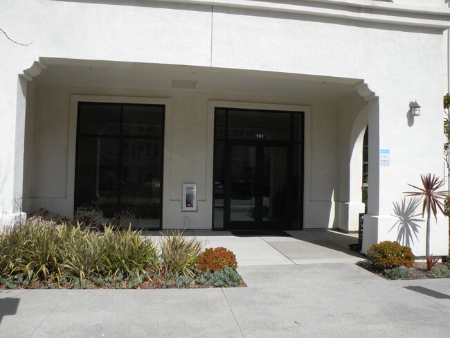
634 Camino Tierra Santa
Oxnard-Thousand Oaks-Ventura, CA
Tract No 5981
157-0-230-085
TRACT: 598100 REF: 165MR 28 CONDO PLAN: -101
Condominium
Ventura
X
California
06111C0927F
0.25 AC
2024
Camarillo/Point Mugu
2025
Los Angeles
005205
DEMOGRAPHICS near 634 Camino Tierra Santa
1 Mile
3 Mile
5 Mile
2024 Total Population
7,019
38,341
100,987
2029 Population
6,989
37,732
99,212
Pop Growth 2024-2029
(0.43%)
(1.59%)
(1.76%)
Average Age
40
41
39
2024 Total Households
2,766
14,149
32,198
HH Growth 2024-2029
(0.54%)
(1.67%)
(1.80%)
Median Household Inc
$106,332
$103,157
$103,350
Avg Household Size
2.50
2.60
3.00
2024 Avg HH Vehicles
2.00
2.00
2.00
Median Home Value
$837,201
$797,318
$734,099
Median Year Built
1996
1976
1980
Nearby Places
Map Layers
Map Styles
 Street
 Aerial
- Restaurants
- Banks
- Shops
- Fitness
- Groceries
PUBLIC TRANSPORTATION
COMMUTER RAIL
Camarillo (Ventura County Line - Southern California Regional Rail Authority (Metrolink))
DRIVE
WALK
Distance
Camarillo (Ventura County Line - Southern California Regional Rail Authority (Metrolink))
5 min
3.6 mi
Oxnard (Ventura County Line - Southern California Regional Rail Authority (Metrolink))
DRIVE
WALK
Distance
Oxnard (Ventura County Line - Southern California Regional Rail Authority (Metrolink))
13 min
8.3 mi
Freight Ports
The Port of Hueneme
DRIVE
WALK
Distance
The Port of Hueneme
19 min
11.1 mi
SALE & LEASE HISTORY
LISTING DATE
SALE/LEASE

Mar 01, 2023
For Lease
Dec 15, 2023
For Sale
Nearby Properties
Address
Land Use
TOTAL SIZE
Lot Size
Zoning
Address
Land Use
TOTAL SIZE
Lot Size
Zoning
25.09 AC
Address
Land Use
TOTAL SIZE
Lot Size
Zoning
159.70 AC
Address
Land Use
TOTAL SIZE
Lot Size
Zoning
15.13 AC
Address
Land Use
TOTAL SIZE
Lot Size
Zoning
19,288 SF
24.55 AC
CPD
Address
Land Use
TOTAL SIZE
Lot Size
Zoning
10.59 AC
Address
Land Use
TOTAL SIZE
Lot Size
Zoning
72,165 SF
24.05 AC
L-M
Address
Land Use
TOTAL SIZE
Lot Size
Zoning
33,261 SF
36.25 AC
Address
Land Use
TOTAL SIZE
Lot Size
Zoning
Address
Land Use
TOTAL SIZE
Lot Size
Zoning
45,587 SF
18.30 AC
Address
Land Use
TOTAL SIZE
Lot Size
Zoning
150,320 SF
6.22 AC
Address
Land Use
TOTAL SIZE
Lot Size
Zoning
123,752 SF
5.98 AC
RPD
Address
Land Use
TOTAL SIZE
Lot Size
Zoning
13.99 AC
Address
Land Use
TOTAL SIZE
Lot Size
Zoning
39,607 SF
10.81 AC
LM
Address
Land Use
TOTAL SIZE
Lot Size
Zoning
19.69 AC
Address
Land Use
TOTAL SIZE
Lot Size
Zoning
84,518 SF
4.71 AC
RPD
Address
Land Use
TOTAL SIZE
Lot Size
Zoning
77,837 SF
6.46 AC
Address
Land Use
TOTAL SIZE
Lot Size
Zoning
60,511 SF
2.95 AC
RPD30
Address
Land Use
TOTAL SIZE
Lot Size
Zoning
2.66 AC
Address
Land Use
TOTAL SIZE
Lot Size
Zoning
66,715 SF
4.07 AC
Address
Land Use
TOTAL SIZE
Lot Size
Zoning
3.08 AC
Address
Land Use
TOTAL SIZE
Lot Size
Zoning
1,568 SF
9.87 AC
CPD
Address
Land Use
TOTAL SIZE
Lot Size
Zoning
114,645 SF
5.29 AC
RPD
Address
Land Use
TOTAL SIZE
Lot Size
Zoning
4.76 AC
Address
Land Use
TOTAL SIZE
Lot Size
Zoning
Address
Land Use
TOTAL SIZE
Lot Size
Zoning
66,315 SF
2.37 AC
CPD
Address
Land Use
TOTAL SIZE
Lot Size
Zoning
1,728 SF
7.11 AC
MIPD
Address
Land Use
TOTAL SIZE
Lot Size
Zoning
60,952 SF
15.59 AC
Address
Land Use
TOTAL SIZE
Lot Size
Zoning
82,754 SF
0.93 AC
PO
Address
Land Use
TOTAL SIZE
Lot Size
Zoning
57,596 SF
4.40 AC
CPD
Address
Land Use
TOTAL SIZE
Lot Size
Zoning
86,502 SF
5.69 AC
RPD3
The World's #1 Commercial Real Estate Marketplace
Connect with us
© 2026 CoStar Group
The information above has been obtained from sources believed reliable. While we do not doubt its accuracy we have not verified it and make no guarantee, warranty or representation about it. It is your responsibility to independently confirm its accuracy and completeness. Any projections, opinions, assumptions, or estimates used are for example only and do not represent the current or future performance of the property. The value of this transaction to you depends on tax and other factors which should be evaluated by your tax, financial, and legal advisors. You and your advisors should conduct a careful, independent investigation of the property to determine to your satisfaction the suitability of the property for your needs.