Property Record
6350 Springdale Rd, Cincinnati, OH 45247
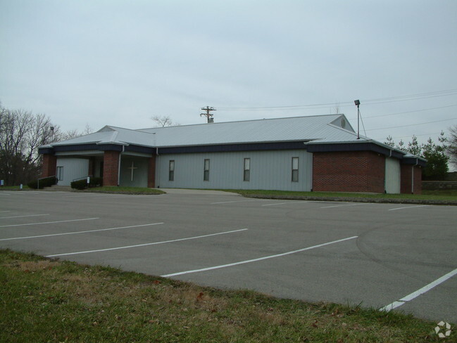


Property Detail
6350 Springdale Rd
510-0344-0025
SPRINGDALE RD 12.3274 ACSR1-T2-S25 & 26 PR 25 & PG 350 PR 85 CONS
Amusementpark
Hamilton
B and X Area of moderate flood hazard, usually the area between the limits of the 100-year and 500-year floods.
Ohio
2025
12.33 AC
2025
Forest Park/West
020601
Cincinnati/Dayton
5,436 SF
Cincinnati, OH-KY-IN
NEARBY LISTINGS FOR SALE OR LEASE
-
-
View all Cincinnati listings for sale on LoopNet.com
DEMOGRAPHICS near 6350 Springdale Rd
1 mile
3 mile
5 mile
2025 Total Population
2,622
27,264
105,863
2030 Population
2,654
27,282
106,059
Pop Growth 2025-2030
+ 1.22%
+ 0.07%
+ 0.19%
Average Age
41
43
41
2025 Total Households
1,000
11,252
42,546
HH Growth 2025-2030
+ 1.00%
+ 0.04%
+ 0.13%
Median Household Inc
$107,749
$97,974
$74,934
Avg Household Size
2.60
2.40
2.40
2025 Avg HH Vehicles
2.00
2.00
2.00
Median Home Value
$310,776
$289,456
$228,242
Median Year Built
1998
1984
1971
Nearby Places
Map Layers
Map Styles
 Street
 Aerial
Layers
 Traffic
 Biking
Places
Listings with unknown addresses are not visible on the map
- Restaurants
- Banks
- Shops
- Fitness
- Groceries
PUBLIC TRANSPORTATION
AIRPORT
Cincinnati/Northern Kentucky International
Drive
Walk
Distance
Cincinnati/Northern Kentucky International
47 min
28.6 mi
Freight Ports
Port of Toledo
Drive
Walk
Distance
Port of Toledo
241 min
204.5 mi
Nearby Properties
Address
Land Use
TOTAL SIZE
Lot Size
Zoning
Address
Land Use
TOTAL SIZE
Lot Size
Zoning
5.38 AC
OO
Address
Land Use
TOTAL SIZE
Lot Size
Zoning
12.23 AC
Address
Land Use
TOTAL SIZE
Lot Size
Zoning
474 SF
9.59 AC
A
Address
Land Use
TOTAL SIZE
Lot Size
Zoning
1,671 SF
21.48 AC
CCUP
Address
Land Use
TOTAL SIZE
Lot Size
Zoning
4.68 AC
E
Address
Land Use
TOTAL SIZE
Lot Size
Zoning
29,084 SF
30.10 AC
DD
Address
Land Use
TOTAL SIZE
Lot Size
Zoning
60.59 AC
Address
Land Use
TOTAL SIZE
Lot Size
Zoning
20.34 AC
Address
Land Use
TOTAL SIZE
Lot Size
Zoning
27.60 AC
Address
Land Use
TOTAL SIZE
Lot Size
Zoning
18.30 AC
EE
Address
Land Use
TOTAL SIZE
Lot Size
Zoning
8,580 SF
19.31 AC
DD
Address
Land Use
TOTAL SIZE
Lot Size
Zoning
Address
Land Use
TOTAL SIZE
Lot Size
Zoning
123,361 SF
15.98 AC
Address
Land Use
TOTAL SIZE
Lot Size
Zoning
35,496 SF
13.86 AC
A
Address
Land Use
TOTAL SIZE
Lot Size
Zoning
8.69 AC
EE
Address
Land Use
TOTAL SIZE
Lot Size
Zoning
2.76 AC
EE
Address
Land Use
TOTAL SIZE
Lot Size
Zoning
19,608 SF
11.60 AC
Address
Land Use
TOTAL SIZE
Lot Size
Zoning
Address
Land Use
TOTAL SIZE
Lot Size
Zoning
Address
Land Use
TOTAL SIZE
Lot Size
Zoning
18.70 AC
Address
Land Use
TOTAL SIZE
Lot Size
Zoning
Address
Land Use
TOTAL SIZE
Lot Size
Zoning
702 SF
15.89 AC
Address
Land Use
TOTAL SIZE
Lot Size
Zoning
4.59 AC
EE
Address
Land Use
TOTAL SIZE
Lot Size
Zoning
1,208 SF
5.37 AC
EE
Address
Land Use
TOTAL SIZE
Lot Size
Zoning
21.29 AC
Address
Land Use
TOTAL SIZE
Lot Size
Zoning
Address
Land Use
TOTAL SIZE
Lot Size
Zoning
Address
Land Use
TOTAL SIZE
Lot Size
Zoning
4.14 AC
EE
Address
Land Use
TOTAL SIZE
Lot Size
Zoning
19,119 SF
5.28 AC
E
Address
Land Use
TOTAL SIZE
Lot Size
Zoning
21,787 SF
6.55 AC
The World's #1 Commercial Real Estate Marketplace
Connect with us
© 2026 CoStar Group
The information above has been obtained from sources believed reliable. While we do not doubt its accuracy we have not verified it and make no guarantee, warranty or representation about it. It is your responsibility to independently confirm its accuracy and completeness. Any projections, opinions, assumptions, or estimates used are for example only and do not represent the current or future performance of the property. The value of this transaction to you depends on tax and other factors which should be evaluated by your tax, financial, and legal advisors. You and your advisors should conduct a careful, independent investigation of the property to determine to your satisfaction the suitability of the property for your needs.