Property Record
6350 State Highway 31 E, Murchison, TX 75778

Property Detail
6350 State Highway 31 E
0434-0570-0000-10
AB 434 J LAWSON SUR, TR 57,
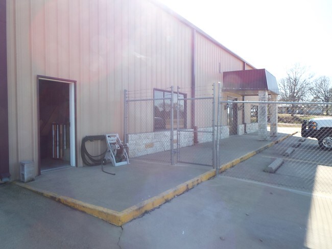
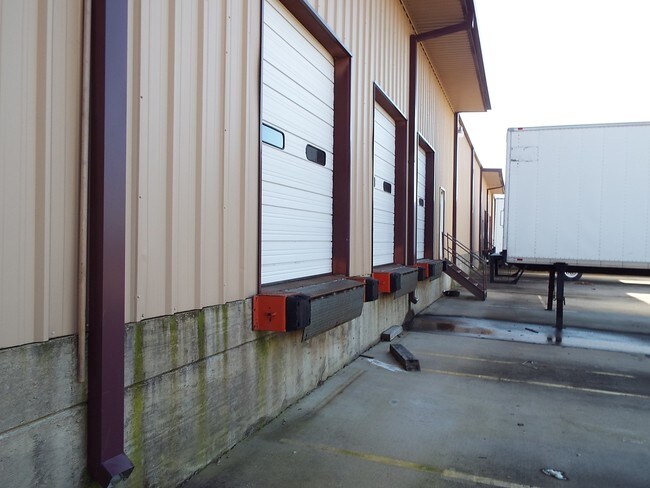
Commercialnec
HENDERSON
B and X Area of moderate flood hazard, usually the area between the limits of the 100-year and 500-year floods.
Texas
2024
6.18 AC
2025
Henderson County
950301
Dallas/Ft Worth
45,104 SF
Athens, TX
NEARBY LISTINGS FOR SALE OR LEASE
-
-
View all Murchison listings for sale on LoopNet.com
DEMOGRAPHICS near 6350 State Highway 31 E
1 mile
3 mile
5 mile
2025 Total Population
131
936
3,990
2030 Population
133
955
4,096
Pop Growth 2025-2030
+ 1.53%
+ 2.03%
+ 2.66%
Average Age
43
42
42
2025 Total Households
51
362
1,555
HH Growth 2025-2030
+ 1.96%
+ 1.93%
+ 2.64%
Median Household Inc
$62,500
$59,142
$60,531
Avg Household Size
2.60
2.50
2.50
2025 Avg HH Vehicles
2.00
2.00
2.00
Median Home Value
$189,999
$200,962
$197,741
Median Year Built
1986
1982
1988
Nearby Places
Map Layers
Map Styles
 Street
 Aerial
Layers
 Traffic
 Biking
Places
Listings with unknown addresses are not visible on the map
- Restaurants
- Banks
- Shops
- Fitness
- Groceries
PUBLIC TRANSPORTATION
AIRPORT
Tyler Pounds Regional
Drive
Walk
Distance
Tyler Pounds Regional
31 min
22.4 mi
Freight Ports
Port of Shreveport
Drive
Walk
Distance
Port of Shreveport
150 min
131.2 mi
Nearby Properties
Address
Land Use
TOTAL SIZE
Lot Size
Zoning
Address
Land Use
TOTAL SIZE
Lot Size
Zoning
9,702 SF
260.79 AC
Address
Land Use
TOTAL SIZE
Lot Size
Zoning
7,178 SF
621.09 AC
Address
Land Use
TOTAL SIZE
Lot Size
Zoning
23,077 SF
47.48 AC
Address
Land Use
TOTAL SIZE
Lot Size
Zoning
18,941 SF
3.50 AC
Address
Land Use
TOTAL SIZE
Lot Size
Zoning
280.40 AC
Address
Land Use
TOTAL SIZE
Lot Size
Zoning
214.66 AC
Address
Land Use
TOTAL SIZE
Lot Size
Zoning
1,222 SF
190.71 AC
Address
Land Use
TOTAL SIZE
Lot Size
Zoning
4,410 SF
100 AC
Address
Land Use
TOTAL SIZE
Lot Size
Zoning
3,808 SF
27.48 AC
Address
Land Use
TOTAL SIZE
Lot Size
Zoning
7,978 SF
1 AC
Address
Land Use
TOTAL SIZE
Lot Size
Zoning
5,226 SF
30.35 AC
Address
Land Use
TOTAL SIZE
Lot Size
Zoning
5,126 SF
41.02 AC
Address
Land Use
TOTAL SIZE
Lot Size
Zoning
149.27 AC
Address
Land Use
TOTAL SIZE
Lot Size
Zoning
130.25 AC
Address
Land Use
TOTAL SIZE
Lot Size
Zoning
3,600 SF
10 AC
Address
Land Use
TOTAL SIZE
Lot Size
Zoning
9,090 SF
1.47 AC
Address
Land Use
TOTAL SIZE
Lot Size
Zoning
3,727 SF
10 AC
Address
Land Use
TOTAL SIZE
Lot Size
Zoning
3,363 SF
5 AC
Address
Land Use
TOTAL SIZE
Lot Size
Zoning
3,752 SF
25 AC
Address
Land Use
TOTAL SIZE
Lot Size
Zoning
1,450 SF
44.50 AC
Address
Land Use
TOTAL SIZE
Lot Size
Zoning
4,185 SF
149.70 AC
Address
Land Use
TOTAL SIZE
Lot Size
Zoning
1,800 SF
13.70 AC
Address
Land Use
TOTAL SIZE
Lot Size
Zoning
5,194 SF
1.97 AC
Address
Land Use
TOTAL SIZE
Lot Size
Zoning
2,376 SF
389 AC
Address
Land Use
TOTAL SIZE
Lot Size
Zoning
3,445 SF
29.10 AC
Address
Land Use
TOTAL SIZE
Lot Size
Zoning
2,682 SF
8.54 AC
Address
Land Use
TOTAL SIZE
Lot Size
Zoning
2,844 SF
2 AC
Address
Land Use
TOTAL SIZE
Lot Size
Zoning
4,532 SF
6.11 AC
Address
Land Use
TOTAL SIZE
Lot Size
Zoning
1,980 SF
10 AC
The World's #1 Commercial Real Estate Marketplace
Connect with us
© 2026 CoStar Group
The information above has been obtained from sources believed reliable. While we do not doubt its accuracy we have not verified it and make no guarantee, warranty or representation about it. It is your responsibility to independently confirm its accuracy and completeness. Any projections, opinions, assumptions, or estimates used are for example only and do not represent the current or future performance of the property. The value of this transaction to you depends on tax and other factors which should be evaluated by your tax, financial, and legal advisors. You and your advisors should conduct a careful, independent investigation of the property to determine to your satisfaction the suitability of the property for your needs.