Property Record
6363 State Highway 66, Tulsa, OK 74131


NEARBY LISTINGS FOR SALE OR LEASE
Property Detail
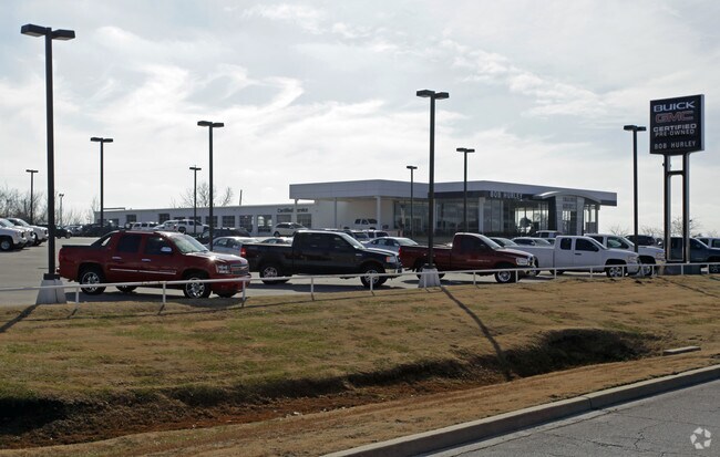
6363 State Highway 66
Tulsa, OK
New Taneha
3180-00-032-000-0-050-00
NEW TANEHA BLK 32 LOT 40 & POR LOTS 35 THRU 39 LYING S OF LINE DESC AS BEG AT PT ON W LINE OF SAID LOT 35 AND EXT IN A STRAIG
Autorepair
Creek
X
Oklahoma
40143C0333L
1-10
2024
5.21 AC
2025
Creek County
020101
Tulsa
9,568 SF
DEMOGRAPHICS near 6363 State Highway 66
1 Mile
3 Mile
5 Mile
2024 Total Population
1,411
23,146
65,115
2029 Population
1,473
23,904
67,461
Pop Growth 2024-2029
+ 4.39%
+ 3.27%
+ 3.60%
Average Age
41
40
39
2024 Total Households
520
9,038
26,792
HH Growth 2024-2029
+ 4.42%
+ 3.13%
+ 3.56%
Median Household Inc
$53,518
$57,457
$56,274
Avg Household Size
2.60
2.50
2.40
2024 Avg HH Vehicles
2.00
2.00
2.00
Median Home Value
$138,034
$164,503
$168,520
Median Year Built
1976
1977
1978
Nearby Places
Map Layers
Map Styles
 Street
 Aerial
- Restaurants
- Banks
- Shops
- Fitness
- Groceries
PUBLIC TRANSPORTATION
AIRPORT
Tulsa International
DRIVE
WALK
Distance
Tulsa International
23 min
16.4 mi
Freight Ports
Tulsa Port Of Catoosa
DRIVE
WALK
Distance
Tulsa Port Of Catoosa
33 min
25.6 mi
Nearby Properties
Address
Land Use
TOTAL SIZE
Lot Size
Zoning
Address
Land Use
TOTAL SIZE
Lot Size
Zoning
1,134,776 SF
35.85 AC
CN
Address
Land Use
TOTAL SIZE
Lot Size
Zoning
290,963 SF
10.77 AC
RM1
Address
Land Use
TOTAL SIZE
Lot Size
Zoning
119,056 SF
28.06 AC
CM
Address
Land Use
TOTAL SIZE
Lot Size
Zoning
110,382 SF
9.81 AC
RS3
Address
Land Use
TOTAL SIZE
Lot Size
Zoning
35,845 SF
14.38 AC
CS
Address
Land Use
TOTAL SIZE
Lot Size
Zoning
143,520 SF
25.14 AC
IM
Address
Land Use
TOTAL SIZE
Lot Size
Zoning
47,670 SF
10.05 AC
RS
Address
Land Use
TOTAL SIZE
Lot Size
Zoning
22,078 SF
5.08 AC
CS
Address
Land Use
TOTAL SIZE
Lot Size
Zoning
23,269 SF
263.40 AC
NCU
Address
Land Use
TOTAL SIZE
Lot Size
Zoning
32,722 SF
8.40 AC
RS3
Address
Land Use
TOTAL SIZE
Lot Size
Zoning
32,672 SF
8.56 AC
CS
Address
Land Use
TOTAL SIZE
Lot Size
Zoning
1,025 SF
64.46 AC
AG
Address
Land Use
TOTAL SIZE
Lot Size
Zoning
251,601 SF
16.75 AC
RM1
Address
Land Use
TOTAL SIZE
Lot Size
Zoning
117,372 SF
11.87 AC
CN
Address
Land Use
TOTAL SIZE
Lot Size
Zoning
20,771 SF
1.11 AC
RS3
Address
Land Use
TOTAL SIZE
Lot Size
Zoning
370,891 SF
26.43 AC
IM
Address
Land Use
TOTAL SIZE
Lot Size
Zoning
16,000 SF
5 AC
CS
Address
Land Use
TOTAL SIZE
Lot Size
Zoning
38,940 SF
16.24 AC
Address
Land Use
TOTAL SIZE
Lot Size
Zoning
15,066 SF
2.16 AC
RS3
Address
Land Use
TOTAL SIZE
Lot Size
Zoning
31,600 SF
13.46 AC
Address
Land Use
TOTAL SIZE
Lot Size
Zoning
25,685 SF
5.04 AC
Address
Land Use
TOTAL SIZE
Lot Size
Zoning
40,069 SF
4.22 AC
RM0
Address
Land Use
TOTAL SIZE
Lot Size
Zoning
54,194 SF
3.27 AC
CO
Address
Land Use
TOTAL SIZE
Lot Size
Zoning
14.24 AC
RM1
Address
Land Use
TOTAL SIZE
Lot Size
Zoning
19,188 SF
3.87 AC
RS3
Address
Land Use
TOTAL SIZE
Lot Size
Zoning
15,662 SF
0.78 AC
RS3
Address
Land Use
TOTAL SIZE
Lot Size
Zoning
25,088 SF
4.77 AC
RS3
Address
Land Use
TOTAL SIZE
Lot Size
Zoning
41,444 SF
4.71 AC
CG
Address
Land Use
TOTAL SIZE
Lot Size
Zoning
62.43 AC
RS3
The World's #1 Commercial Real Estate Marketplace
Connect with us
© 2025 CoStar Group
The information above has been obtained from sources believed reliable. While we do not doubt its accuracy we have not verified it and make no guarantee, warranty or representation about it. It is your responsibility to independently confirm its accuracy and completeness. Any projections, opinions, assumptions, or estimates used are for example only and do not represent the current or future performance of the property. The value of this transaction to you depends on tax and other factors which should be evaluated by your tax, financial, and legal advisors. You and your advisors should conduct a careful, independent investigation of the property to determine to your satisfaction the suitability of the property for your needs.