Property Record
6382 Ne Alder St, Hillsboro, OR 97124


NEARBY LISTINGS FOR SALE OR LEASE
Property Detail
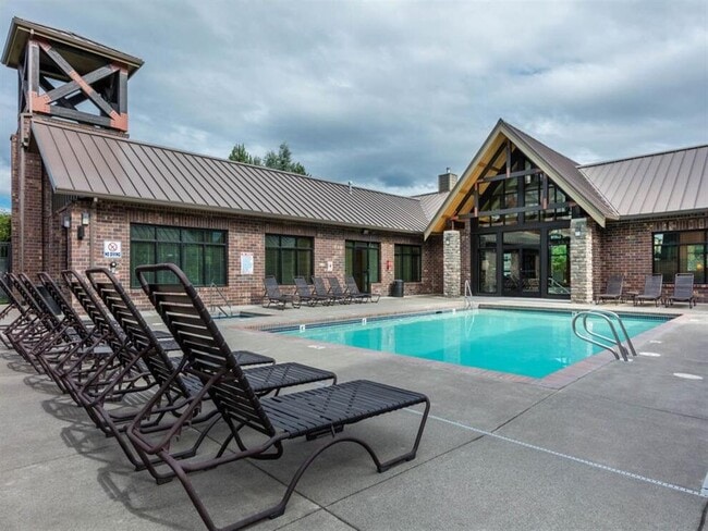
6382 Ne Alder St
Portland-Vancouver-Hillsboro, OR-WA
2003-014 Partition Plat
R2117163
2003-014 PARTITION PLAT, LOT 2, ACRES 2.36
Apartment
Washington
X
Oregon
41067C0343E
2
2024
3.50 AC
2026
Orenco Station
032414
Portland
DEMOGRAPHICS near 6382 Ne Alder St
1 Mile
3 Mile
5 Mile
2024 Total Population
16,301
123,543
247,717
2029 Population
16,376
124,461
249,603
Pop Growth 2024-2029
+ 0.46%
+ 0.74%
+ 0.76%
Average Age
38
38
38
2024 Total Households
7,326
47,279
92,214
HH Growth 2024-2029
+ 0.51%
+ 0.78%
+ 0.79%
Median Household Inc
$126,799
$92,056
$95,288
Avg Household Size
2.20
2.50
2.60
2024 Avg HH Vehicles
2.00
2.00
2.00
Median Home Value
$482,691
$450,578
$471,756
Median Year Built
2003
1994
1993
Nearby Places
Map Layers
Map Styles
 Street
 Aerial
- Restaurants
- Banks
- Shops
- Fitness
- Groceries
PUBLIC TRANSPORTATION
TRANSIT/SUBWAY
Orenco/Nw 231St Avenue (MAX Blue Line - Tri-County Metropolitan Transportation District of Oregon Rail (TriMet Rail))
DRIVE
WALK
Distance
Orenco/Nw 231St Avenue (MAX Blue Line - Tri-County Metropolitan Transportation District of Oregon Rail (TriMet Rail))
0 min
3 min
0.1 mi
COMMUTER RAIL
Beaverton Transit Center (West Side Express) (Westside Express Service - Tri-County Metropolitan Transportation District of Oregon Rail (TriMet Rail))
DRIVE
WALK
Distance
Beaverton Transit Center (West Side Express) (Westside Express Service - Tri-County Metropolitan Transportation District of Oregon Rail (TriMet Rail))
15 min
7.3 mi
AIRPORT
Portland International
DRIVE
WALK
Distance
Portland International
42 min
26.3 mi
Freight Ports
Port of Portland
DRIVE
WALK
Distance
Port of Portland
25 min
15.3 mi
Nearby Properties
Address
Land Use
TOTAL SIZE
Lot Size
Zoning
Address
Land Use
TOTAL SIZE
Lot Size
Zoning
21.21 AC
I-P
Address
Land Use
TOTAL SIZE
Lot Size
Zoning
0.13 AC
I-P
Address
Land Use
TOTAL SIZE
Lot Size
Zoning
4,603 SF
90.28 AC
I-S
Address
Land Use
TOTAL SIZE
Lot Size
Zoning
337.91 AC
I-P
Address
Land Use
TOTAL SIZE
Lot Size
Zoning
14.02 AC
Address
Land Use
TOTAL SIZE
Lot Size
Zoning
1,619,885 SF
115.71 AC
I-P
Address
Land Use
TOTAL SIZE
Lot Size
Zoning
35.87 AC
SSID
Address
Land Use
TOTAL SIZE
Lot Size
Zoning
37.93 AC
I-S
Address
Land Use
TOTAL SIZE
Lot Size
Zoning
373,884 SF
153.56 AC
UC-RP
Address
Land Use
TOTAL SIZE
Lot Size
Zoning
1,004,655 SF
24.55 AC
SCR-V
Address
Land Use
TOTAL SIZE
Lot Size
Zoning
3,126 SF
11.38 AC
FD-20
Address
Land Use
TOTAL SIZE
Lot Size
Zoning
47.85 AC
I-P
Address
Land Use
TOTAL SIZE
Lot Size
Zoning
60.97 AC
INST
Address
Land Use
TOTAL SIZE
Lot Size
Zoning
5.83 AC
INST
Address
Land Use
TOTAL SIZE
Lot Size
Zoning
Address
Land Use
TOTAL SIZE
Lot Size
Zoning
0.10 AC
IS
Address
Land Use
TOTAL SIZE
Lot Size
Zoning
2,016 SF
0.10 AC
I-S
Address
Land Use
TOTAL SIZE
Lot Size
Zoning
0.05 AC
I-S
Address
Land Use
TOTAL SIZE
Lot Size
Zoning
0.17 AC
I-P
Address
Land Use
TOTAL SIZE
Lot Size
Zoning
Address
Land Use
TOTAL SIZE
Lot Size
Zoning
292,000 SF
53.23 AC
I-G
Address
Land Use
TOTAL SIZE
Lot Size
Zoning
0.03 AC
I-P
Address
Land Use
TOTAL SIZE
Lot Size
Zoning
4,603 SF
0.09 AC
I-S
Address
Land Use
TOTAL SIZE
Lot Size
Zoning
316,321 SF
0.11 AC
I-P
Address
Land Use
TOTAL SIZE
Lot Size
Zoning
20.33 AC
I-S
Address
Land Use
TOTAL SIZE
Lot Size
Zoning
37.66 AC
IND
Address
Land Use
TOTAL SIZE
Lot Size
Zoning
174,233 SF
14.74 AC
I-P
Address
Land Use
TOTAL SIZE
Lot Size
Zoning
791,581 SF
22.58 AC
MFR-3
Address
Land Use
TOTAL SIZE
Lot Size
Zoning
53.13 AC
SC-BP
The World's #1 Commercial Real Estate Marketplace
Connect with us
© 2025 CoStar Group
The information above has been obtained from sources believed reliable. While we do not doubt its accuracy we have not verified it and make no guarantee, warranty or representation about it. It is your responsibility to independently confirm its accuracy and completeness. Any projections, opinions, assumptions, or estimates used are for example only and do not represent the current or future performance of the property. The value of this transaction to you depends on tax and other factors which should be evaluated by your tax, financial, and legal advisors. You and your advisors should conduct a careful, independent investigation of the property to determine to your satisfaction the suitability of the property for your needs.