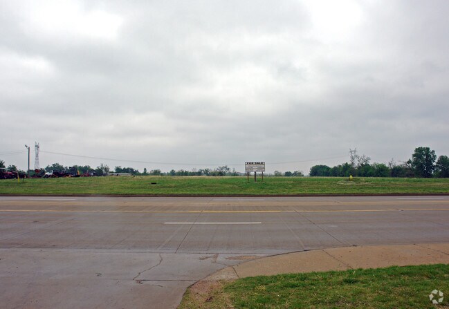
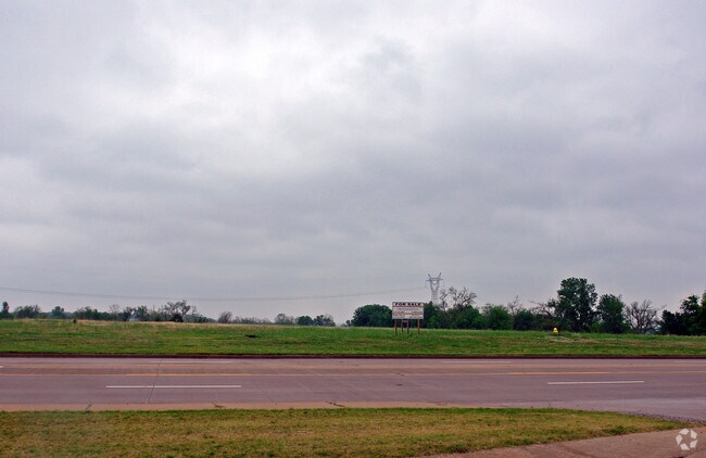
Property Record
6397 E 151St St S, Bixby, OK 74008

Property Detail
6397 E 151St St S
97315-73-15-63610
PRT SE SE BEG 165.31W & 135.25N SECR SE TH W541.25 N193.40 W84.31 N209.97 W201 N118.76 W305.62 N328.83 E636.24 N328.64 E330.62 S985.62 E165.31 S193.24 POB LESS BEG 790.87W & 538.65N SECR SE TH W201 N118.76 E201 S118.70 POB SEC 15 17 13 15.659ACS
Taxexempt
TULSA
CG
Oklahoma
B and X Area of moderate flood hazard, usually the area between the limits of the 100-year and 500-year floods.
15.66 AC
0
South
2025
Tulsa
007803
Tulsa, OK
25,761 SF
NEARBY LISTINGS FOR SALE OR LEASE
DEMOGRAPHICS near 6397 E 151St St S
1 mile
3 mile
5 mile
2025 Total Population
2,769
23,658
64,722
2030 Population
3,005
24,984
67,388
Pop Growth 2025-2030
+ 8.52%
+ 5.60%
+ 4.12%
Average Age
37
37
39
2025 Total Households
919
8,303
22,846
HH Growth 2025-2030
+ 8.60%
+ 5.55%
+ 4.10%
Median Household Inc
$119,328
$99,239
$110,986
Avg Household Size
3.00
2.80
2.80
2025 Avg HH Vehicles
2.00
2.00
2.00
Median Home Value
$351,666
$352,517
$375,654
Median Year Built
2010
2006
2000
Nearby Places
Map Layers
Map Styles
 Street
 Aerial
Layers
 Traffic
 Biking
Places
Listings with unknown addresses are not visible on the map
- Restaurants
- Banks
- Shops
- Fitness
- Groceries
PUBLIC TRANSPORTATION
AIRPORT
Tulsa International
Drive
Walk
Distance
Tulsa International
35 min
24.0 mi
Freight Ports
Tulsa Port Of Catoosa
Drive
Walk
Distance
Tulsa Port Of Catoosa
38 min
27.8 mi
Nearby Properties
Address
Land Use
TOTAL SIZE
Lot Size
Zoning
Address
Land Use
TOTAL SIZE
Lot Size
Zoning
815,589 SF
181.73 AC
AG
Address
Land Use
TOTAL SIZE
Lot Size
Zoning
2,281,674 SF
147.83 AC
AG
Address
Land Use
TOTAL SIZE
Lot Size
Zoning
10,745 SF
56.52 AC
RS2
Address
Land Use
TOTAL SIZE
Lot Size
Zoning
27,256 SF
31.19 AC
CS
Address
Land Use
TOTAL SIZE
Lot Size
Zoning
36,440 SF
75.39 AC
AG
Address
Land Use
TOTAL SIZE
Lot Size
Zoning
18,161 SF
4.36 AC
AG
Address
Land Use
TOTAL SIZE
Lot Size
Zoning
30,000 SF
5.13 AC
CS
Address
Land Use
TOTAL SIZE
Lot Size
Zoning
237,090 SF
19.84 AC
AG
Address
Land Use
TOTAL SIZE
Lot Size
Zoning
51,200 SF
16.76 AC
AG
Address
Land Use
TOTAL SIZE
Lot Size
Zoning
243,504 SF
13.97 AC
RM3
Address
Land Use
TOTAL SIZE
Lot Size
Zoning
22,760 SF
11.76 AC
AG
Address
Land Use
TOTAL SIZE
Lot Size
Zoning
17,776 SF
0.75 AC
CH
Address
Land Use
TOTAL SIZE
Lot Size
Zoning
26,530 SF
0.81 AC
IL
Address
Land Use
TOTAL SIZE
Lot Size
Zoning
23,375 SF
5.91 AC
CS
Address
Land Use
TOTAL SIZE
Lot Size
Zoning
37,009 SF
4.18 AC
RS1
Address
Land Use
TOTAL SIZE
Lot Size
Zoning
12,156 SF
1.76 AC
CS
Address
Land Use
TOTAL SIZE
Lot Size
Zoning
36,312 SF
3.50 AC
CG
Address
Land Use
TOTAL SIZE
Lot Size
Zoning
42.46 AC
NCU
Address
Land Use
TOTAL SIZE
Lot Size
Zoning
8,912 SF
1.44 AC
CG
Address
Land Use
TOTAL SIZE
Lot Size
Zoning
13,870 SF
9.49 AC
RS3
Address
Land Use
TOTAL SIZE
Lot Size
Zoning
10,086 SF
0.82 AC
CH
Address
Land Use
TOTAL SIZE
Lot Size
Zoning
15,201 SF
0.60 AC
CH
Address
Land Use
TOTAL SIZE
Lot Size
Zoning
36,954 SF
4.01 AC
RM3
Address
Land Use
TOTAL SIZE
Lot Size
Zoning
2,160 SF
10 AC
AG
Address
Land Use
TOTAL SIZE
Lot Size
Zoning
99,507 SF
11.64 AC
CG
Address
Land Use
TOTAL SIZE
Lot Size
Zoning
1,026 SF
14.98 AC
AG
Address
Land Use
TOTAL SIZE
Lot Size
Zoning
74,069 SF
3.29 AC
CG
Address
Land Use
TOTAL SIZE
Lot Size
Zoning
19,332 SF
1.13 AC
CH
Address
Land Use
TOTAL SIZE
Lot Size
Zoning
77,360 SF
1.84 AC
AG
The World's #1 Commercial Real Estate Marketplace
Connect with us
© 2026 CoStar Group
The information above has been obtained from sources believed reliable. While we do not doubt its accuracy we have not verified it and make no guarantee, warranty or representation about it. It is your responsibility to independently confirm its accuracy and completeness. Any projections, opinions, assumptions, or estimates used are for example only and do not represent the current or future performance of the property. The value of this transaction to you depends on tax and other factors which should be evaluated by your tax, financial, and legal advisors. You and your advisors should conduct a careful, independent investigation of the property to determine to your satisfaction the suitability of the property for your needs.