Property Record
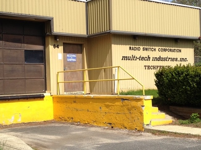
64 S Main St, Marlboro, NJ 07746

Property Detail
64 S Main St
30-00412-0000-00170
Monmouth
Industrialgeneral
New Jersey
C5
170
B and X Area of moderate flood hazard, usually the area between the limits of the 100-year and 500-year floods.
3.50 AC
2024
Western Monmouth
2025
Northern New Jersey
809704
Lakewood-New Brunswick, NJ
16,285 SF
NEARBY LISTINGS FOR SALE OR LEASE
DEMOGRAPHICS near 64 S Main St
1 mile
3 mile
5 mile
2025 Total Population
5,496
39,604
95,216
2030 Population
5,492
39,122
94,277
Pop Growth 2025-2030
(0.07%)
(1.22%)
(0.99%)
Average Age
42
43
42
2025 Total Households
1,741
12,792
31,974
HH Growth 2025-2030
(0.46%)
(1.49%)
(1.13%)
Median Household Inc
$196,579
$191,824
$146,824
Avg Household Size
3.10
3.00
2.90
2025 Avg HH Vehicles
2.00
2.00
2.00
Median Home Value
$752,520
$730,414
$697,879
Median Year Built
1987
1982
1981
Nearby Places
Map Layers
Map Styles
 Street
 Aerial
Layers
 Traffic
 Biking
Places
Listings with unknown addresses are not visible on the map
- Restaurants
- Banks
- Shops
- Fitness
- Groceries
PUBLIC TRANSPORTATION
COMMUTER RAIL
Aberdeen Matawan (North Jersey Coast Line - NJ Transit Commuter Rail (NJ Transit))
Drive
Walk
Distance
Aberdeen Matawan (North Jersey Coast Line - NJ Transit Commuter Rail (NJ Transit))
14 min
8.5 mi
Hazlet (North Jersey Coast Line - NJ Transit Commuter Rail (NJ Transit))
Drive
Walk
Distance
Hazlet (North Jersey Coast Line - NJ Transit Commuter Rail (NJ Transit))
17 min
9.5 mi
AIRPORT
Newark Liberty International
Drive
Walk
Distance
Newark Liberty International
50 min
34.7 mi
Trenton Mercer
Drive
Walk
Distance
Trenton Mercer
59 min
37.7 mi
Freight Ports
New York Container Terminal
Drive
Walk
Distance
New York Container Terminal
43 min
30.0 mi
Nearby Properties
Address
Land Use
TOTAL SIZE
Lot Size
Zoning
Address
Land Use
TOTAL SIZE
Lot Size
Zoning
56.99 AC
C50
Address
Land Use
TOTAL SIZE
Lot Size
Zoning
73,884 SF
37.60 AC
R-40
Address
Land Use
TOTAL SIZE
Lot Size
Zoning
25.27 AC
C1
Address
Land Use
TOTAL SIZE
Lot Size
Zoning
42,982 SF
118.30 AC
R-40
Address
Land Use
TOTAL SIZE
Lot Size
Zoning
19.02 AC
HD
Address
Land Use
TOTAL SIZE
Lot Size
Zoning
48,451 SF
12.17 AC
B-10
Address
Land Use
TOTAL SIZE
Lot Size
Zoning
200,294 SF
12 AC
R10
Address
Land Use
TOTAL SIZE
Lot Size
Zoning
93.79 AC
R-60
Address
Land Use
TOTAL SIZE
Lot Size
Zoning
54,065 SF
19.07 AC
CM3A
Address
Land Use
TOTAL SIZE
Lot Size
Zoning
1,800 SF
83.93 AC
R120
Address
Land Use
TOTAL SIZE
Lot Size
Zoning
8.32 AC
R-40
Address
Land Use
TOTAL SIZE
Lot Size
Zoning
46 AC
CF
Address
Land Use
TOTAL SIZE
Lot Size
Zoning
8.15 AC
C2-M
Address
Land Use
TOTAL SIZE
Lot Size
Zoning
27,535 SF
7.03 AC
CM3A
Address
Land Use
TOTAL SIZE
Lot Size
Zoning
16,496 SF
10.87 AC
OB01
Address
Land Use
TOTAL SIZE
Lot Size
Zoning
30.80 AC
CF
Address
Land Use
TOTAL SIZE
Lot Size
Zoning
28,383 SF
20.77 AC
B10
Address
Land Use
TOTAL SIZE
Lot Size
Zoning
65,708 SF
13.65 AC
C5
Address
Land Use
TOTAL SIZE
Lot Size
Zoning
17,342 SF
64.55 AC
ROS
Address
Land Use
TOTAL SIZE
Lot Size
Zoning
84,626 SF
15.37 AC
R120
Address
Land Use
TOTAL SIZE
Lot Size
Zoning
41,632 SF
6.26 AC
OB01
Address
Land Use
TOTAL SIZE
Lot Size
Zoning
21.35 AC
CF
Address
Land Use
TOTAL SIZE
Lot Size
Zoning
16.46 AC
SF20
Address
Land Use
TOTAL SIZE
Lot Size
Zoning
6.68 AC
C125
Address
Land Use
TOTAL SIZE
Lot Size
Zoning
1,920 SF
21.87 AC
R10
Address
Land Use
TOTAL SIZE
Lot Size
Zoning
0.90 AC
R-1
Address
Land Use
TOTAL SIZE
Lot Size
Zoning
1,800 SF
39.45 AC
R120
Address
Land Use
TOTAL SIZE
Lot Size
Zoning
39.73 AC
R120
Address
Land Use
TOTAL SIZE
Lot Size
Zoning
10.02 AC
Address
Land Use
TOTAL SIZE
Lot Size
Zoning
63,795 SF
5.02 AC
CM3A
The World's #1 Commercial Real Estate Marketplace
Connect with us
© 2026 CoStar Group
The information above has been obtained from sources believed reliable. While we do not doubt its accuracy we have not verified it and make no guarantee, warranty or representation about it. It is your responsibility to independently confirm its accuracy and completeness. Any projections, opinions, assumptions, or estimates used are for example only and do not represent the current or future performance of the property. The value of this transaction to you depends on tax and other factors which should be evaluated by your tax, financial, and legal advisors. You and your advisors should conduct a careful, independent investigation of the property to determine to your satisfaction the suitability of the property for your needs.