Property Record
64 Tannery Rd, Southwick, MA 01077
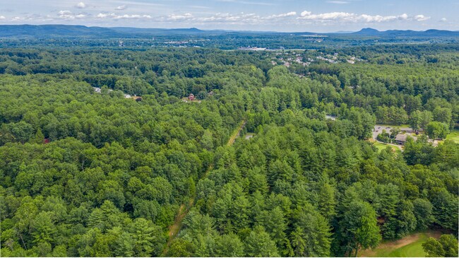


Property Detail
64 Tannery Rd
SWIC-000026-000000-000061
HAMPDEN
Cropfieldcropsrowcropsallsoilclasses
Massachusetts
R-40
61
A Areas with a 1% annual chance of flooding and a 26% chance of flooding over the life of a 30-year mortgage.
37.29 AC
2025
Hampden County
2025
Hartford
813101
Springfield, MA
NEARBY LISTINGS FOR SALE OR LEASE
-
-
View all Southwick listings for sale on LoopNet.com
DEMOGRAPHICS near 64 Tannery Rd
1 mile
3 mile
5 mile
2025 Total Population
1,765
23,515
57,073
2030 Population
1,778
23,411
57,031
Pop Growth 2025-2030
+ 0.74%
(0.44%)
(0.07%)
Average Age
44
43
42
2025 Total Households
720
9,779
22,426
HH Growth 2025-2030
+ 0.83%
(0.49%)
(0.14%)
Median Household Inc
$105,978
$82,032
$91,129
Avg Household Size
2.40
2.30
2.40
2025 Avg HH Vehicles
2.00
2.00
2.00
Median Home Value
$361,386
$339,293
$346,196
Median Year Built
1974
1960
1965
Nearby Places
Map Layers
Map Styles
 Street
 Aerial
Layers
 Traffic
 Biking
Places
Listings with unknown addresses are not visible on the map
- Restaurants
- Banks
- Shops
- Fitness
- Groceries
PUBLIC TRANSPORTATION
AIRPORT
Bradley International
Drive
Walk
Distance
Bradley International
36 min
15.5 mi
SALE & LEASE HISTORY
LISTING DATE
SALE/LEASE

Jun 13, 2022
For Sale
Jul 16, 2021
For Sale
Jul 12, 2018
For Sale
Aug 10, 2022
For Sale
Nearby Properties
Address
Land Use
TOTAL SIZE
Lot Size
Zoning
Address
Land Use
TOTAL SIZE
Lot Size
Zoning
16.48 AC
Address
Land Use
TOTAL SIZE
Lot Size
Zoning
92,866 SF
32 AC
R20A
Address
Land Use
TOTAL SIZE
Lot Size
Zoning
185,556 SF
64.01 AC
R-20A
Address
Land Use
TOTAL SIZE
Lot Size
Zoning
9.25 AC
Address
Land Use
TOTAL SIZE
Lot Size
Zoning
180,130 SF
90.75 AC
Address
Land Use
TOTAL SIZE
Lot Size
Zoning
1,992 SF
185 AC
Address
Land Use
TOTAL SIZE
Lot Size
Zoning
25.35 AC
Address
Land Use
TOTAL SIZE
Lot Size
Zoning
113,406 SF
23.30 AC
Address
Land Use
TOTAL SIZE
Lot Size
Zoning
27,730 SF
17 AC
BR
Address
Land Use
TOTAL SIZE
Lot Size
Zoning
14.78 AC
Address
Land Use
TOTAL SIZE
Lot Size
Zoning
64,414 SF
6.62 AC
Address
Land Use
TOTAL SIZE
Lot Size
Zoning
Address
Land Use
TOTAL SIZE
Lot Size
Zoning
42.70 AC
Address
Land Use
TOTAL SIZE
Lot Size
Zoning
9.80 AC
Address
Land Use
TOTAL SIZE
Lot Size
Zoning
100,908 SF
1.84 AC
Address
Land Use
TOTAL SIZE
Lot Size
Zoning
51,608 SF
6.43 AC
IR
Address
Land Use
TOTAL SIZE
Lot Size
Zoning
Address
Land Use
TOTAL SIZE
Lot Size
Zoning
63,175 SF
4.39 AC
IR
Address
Land Use
TOTAL SIZE
Lot Size
Zoning
53,734 SF
15 AC
Address
Land Use
TOTAL SIZE
Lot Size
Zoning
56,853 SF
5.42 AC
Address
Land Use
TOTAL SIZE
Lot Size
Zoning
59,654 SF
6 AC
Address
Land Use
TOTAL SIZE
Lot Size
Zoning
49,983 SF
2.81 AC
Address
Land Use
TOTAL SIZE
Lot Size
Zoning
2,684 SF
17.01 AC
BR
Address
Land Use
TOTAL SIZE
Lot Size
Zoning
9.96 AC
Address
Land Use
TOTAL SIZE
Lot Size
Zoning
27,969 SF
1.52 AC
Address
Land Use
TOTAL SIZE
Lot Size
Zoning
4.75 AC
Address
Land Use
TOTAL SIZE
Lot Size
Zoning
57,159 SF
7.07 AC
B
Address
Land Use
TOTAL SIZE
Lot Size
Zoning
281,574 SF
4.85 AC
Address
Land Use
TOTAL SIZE
Lot Size
Zoning
10,114 SF
33 AC
BR
Address
Land Use
TOTAL SIZE
Lot Size
Zoning
36,028 SF
0.53 AC
The World's #1 Commercial Real Estate Marketplace
Connect with us
© 2026 CoStar Group
The information above has been obtained from sources believed reliable. While we do not doubt its accuracy we have not verified it and make no guarantee, warranty or representation about it. It is your responsibility to independently confirm its accuracy and completeness. Any projections, opinions, assumptions, or estimates used are for example only and do not represent the current or future performance of the property. The value of this transaction to you depends on tax and other factors which should be evaluated by your tax, financial, and legal advisors. You and your advisors should conduct a careful, independent investigation of the property to determine to your satisfaction the suitability of the property for your needs.