Property Record
641 E New York St, Aurora, IL 60505


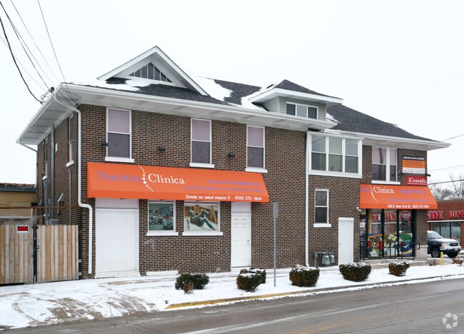
Property Detail
641 E New York St
Chicago-Naperville-Elgin, IL-IN
ANDERSONS ADDITION TO AURORA THAT PART OF LOT 1 IN BLOCK M DESC IN DOC 91K13213 AND ALSO DESCRIBED AS PARCEL THREE IN SURVEY RANGE CODE: 001
15-22-483-014
Kane
Commercialnec
Illinois
B and X Area of moderate flood hazard, usually the area between the limits of the 100-year and 500-year floods.
1
2024
0.60 AC
2024
Western East/West Corr
853601
Chicago
2,789 SF
NEARBY LISTINGS FOR SALE OR LEASE
DEMOGRAPHICS near 641 E New York St
1 mile
3 mile
5 mile
2025 Total Population
26,303
122,171
249,298
2030 Population
26,018
123,344
253,902
Pop Growth 2025-2030
(1.08%)
+ 0.96%
+ 1.85%
Average Age
35
37
38
2025 Total Households
7,756
39,702
84,670
HH Growth 2025-2030
(0.88%)
+ 1.09%
+ 1.91%
Median Household Inc
$66,429
$78,028
$93,614
Avg Household Size
3.20
3.00
2.90
2025 Avg HH Vehicles
2.00
2.00
2.00
Median Home Value
$193,071
$245,459
$279,102
Median Year Built
1948
1971
1988
Nearby Places
Map Layers
Map Styles
 Street
 Aerial
Layers
 Traffic
 Biking
Places
Listings with unknown addresses are not visible on the map
- Restaurants
- Banks
- Shops
- Fitness
- Groceries
PUBLIC TRANSPORTATION
COMMUTER RAIL
Aurora Station (Burlington Northern-Santa Fe Railway Line - Northeast Illinois Regional Commuter Railroad (Metra))
Drive
Walk
Distance
Aurora Station (Burlington Northern-Santa Fe Railway Line - Northeast Illinois Regional Commuter Railroad (Metra))
2 min
14 min
0.7 mi
Route 59 Station (Burlington Northern-Santa Fe Railway Line - Northeast Illinois Regional Commuter Railroad (Metra))
Drive
Walk
Distance
Route 59 Station (Burlington Northern-Santa Fe Railway Line - Northeast Illinois Regional Commuter Railroad (Metra))
12 min
6.5 mi
AIRPORT
Chicago Midway International
Drive
Walk
Distance
Chicago Midway International
52 min
32.1 mi
Chicago O'Hare International
Drive
Walk
Distance
Chicago O'Hare International
54 min
37.1 mi
Freight Ports
Port Milwaukee
Drive
Walk
Distance
Port Milwaukee
135 min
108.8 mi
Nearby Properties
Address
Land Use
TOTAL SIZE
Lot Size
Zoning
Address
Land Use
TOTAL SIZE
Lot Size
Zoning
272,948 SF
16.10 AC
Address
Land Use
TOTAL SIZE
Lot Size
Zoning
11.02 AC
M
Address
Land Use
TOTAL SIZE
Lot Size
Zoning
173,303 SF
19.53 AC
Address
Land Use
TOTAL SIZE
Lot Size
Zoning
Address
Land Use
TOTAL SIZE
Lot Size
Zoning
244,494 SF
16.08 AC
Address
Land Use
TOTAL SIZE
Lot Size
Zoning
320,874 SF
1.49 AC
Address
Land Use
TOTAL SIZE
Lot Size
Zoning
989,724 SF
49.41 AC
Address
Land Use
TOTAL SIZE
Lot Size
Zoning
233,437 SF
13.11 AC
Address
Land Use
TOTAL SIZE
Lot Size
Zoning
169,918 SF
20 AC
Address
Land Use
TOTAL SIZE
Lot Size
Zoning
100,340 SF
1.80 AC
Address
Land Use
TOTAL SIZE
Lot Size
Zoning
73,880 SF
0.75 AC
Address
Land Use
TOTAL SIZE
Lot Size
Zoning
8.87 AC
Address
Land Use
TOTAL SIZE
Lot Size
Zoning
6.31 AC
M
Address
Land Use
TOTAL SIZE
Lot Size
Zoning
Address
Land Use
TOTAL SIZE
Lot Size
Zoning
366,503 SF
11.88 AC
Address
Land Use
TOTAL SIZE
Lot Size
Zoning
28.95 AC
Address
Land Use
TOTAL SIZE
Lot Size
Zoning
85,440 SF
0.58 AC
Address
Land Use
TOTAL SIZE
Lot Size
Zoning
2.73 AC
Address
Land Use
TOTAL SIZE
Lot Size
Zoning
89,188 SF
3.70 AC
Address
Land Use
TOTAL SIZE
Lot Size
Zoning
82,150 SF
23.67 AC
Address
Land Use
TOTAL SIZE
Lot Size
Zoning
0.46 AC
Address
Land Use
TOTAL SIZE
Lot Size
Zoning
70,780 SF
10.91 AC
Address
Land Use
TOTAL SIZE
Lot Size
Zoning
34,822 SF
136.74 AC
Address
Land Use
TOTAL SIZE
Lot Size
Zoning
9.25 AC
Address
Land Use
TOTAL SIZE
Lot Size
Zoning
3.46 AC
M
Address
Land Use
TOTAL SIZE
Lot Size
Zoning
201,713 SF
16.55 AC
Address
Land Use
TOTAL SIZE
Lot Size
Zoning
108,589 SF
0.10 AC
Address
Land Use
TOTAL SIZE
Lot Size
Zoning
Address
Land Use
TOTAL SIZE
Lot Size
Zoning
2.58 AC
Address
Land Use
TOTAL SIZE
Lot Size
Zoning
58,074 SF
6.41 AC
The World's #1 Commercial Real Estate Marketplace
Connect with us
© 2026 CoStar Group
The information above has been obtained from sources believed reliable. While we do not doubt its accuracy we have not verified it and make no guarantee, warranty or representation about it. It is your responsibility to independently confirm its accuracy and completeness. Any projections, opinions, assumptions, or estimates used are for example only and do not represent the current or future performance of the property. The value of this transaction to you depends on tax and other factors which should be evaluated by your tax, financial, and legal advisors. You and your advisors should conduct a careful, independent investigation of the property to determine to your satisfaction the suitability of the property for your needs.