Property Record
6411 W Bradley Rd, Milwaukee, WI 53223


NEARBY LISTINGS FOR SALE OR LEASE
Property Detail
6411 W Bradley Rd
083-9995-121-7
LANDS IN NE 1/4 SEC 15-8-21 COM 858 W OF NE COR SD 1/4 SEC-TH S 1328.15-TH W 27.82 TO A PT 700 NELY OF CL C&NW RR CO ROW-TH NWLY & PAR TO SD ROW 828.54-TH N 779.23-TH E 656.97 TO BEG EXC (N 55 FOR ST & N 64TH CT)
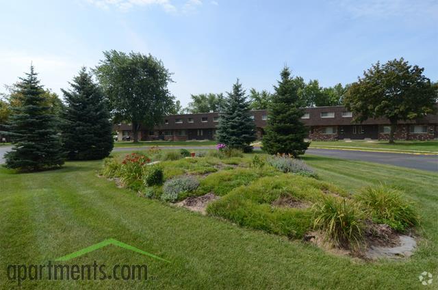
Apartment
Milwaukee
X
Wisconsin
55089C0265G
14.39 AC
2024
Bradley Estates
2024
Milwaukee/Madison
000700
Milwaukee-Waukesha, WI
DEMOGRAPHICS near 6411 W Bradley Rd
1 Mile
3 Mile
5 Mile
2024 Total Population
7,404
68,895
194,571
2029 Population
7,166
67,494
192,235
Pop Growth 2024-2029
(3.21%)
(2.03%)
(1.20%)
Average Age
41
38
38
2024 Total Households
2,989
27,318
76,854
HH Growth 2024-2029
(3.45%)
(2.16%)
(1.24%)
Median Household Inc
$64,735
$55,244
$55,756
Avg Household Size
2.30
2.40
2.40
2024 Avg HH Vehicles
2.00
1.00
2.00
Median Home Value
$156,191
$169,351
$193,332
Median Year Built
1966
1969
1962
Nearby Places
Map Layers
Map Styles
 Street
 Aerial
- Restaurants
- Banks
- Shops
- Fitness
- Groceries
PUBLIC TRANSPORTATION
AIRPORT
General Mitchell International
DRIVE
WALK
Distance
General Mitchell International
33 min
19.5 mi
Freight Ports
Port Milwaukee
DRIVE
WALK
Distance
Port Milwaukee
26 min
15.3 mi
Nearby Properties
Address
Land Use
TOTAL SIZE
Lot Size
Zoning
Address
Land Use
TOTAL SIZE
Lot Size
Zoning
Address
Land Use
TOTAL SIZE
Lot Size
Zoning
33.49 AC
TL
Address
Land Use
TOTAL SIZE
Lot Size
Zoning
145,218 SF
10.23 AC
Address
Land Use
TOTAL SIZE
Lot Size
Zoning
391,696 SF
36.33 AC
PD
Address
Land Use
TOTAL SIZE
Lot Size
Zoning
21.58 AC
RESIDENTIA
Address
Land Use
TOTAL SIZE
Lot Size
Zoning
197,426 SF
26.34 AC
PD
Address
Land Use
TOTAL SIZE
Lot Size
Zoning
298,666 SF
5.09 AC
PD
Address
Land Use
TOTAL SIZE
Lot Size
Zoning
Address
Land Use
TOTAL SIZE
Lot Size
Zoning
12.49 AC
TL
Address
Land Use
TOTAL SIZE
Lot Size
Zoning
104,365 SF
9.85 AC
PD
Address
Land Use
TOTAL SIZE
Lot Size
Zoning
4.70 AC
Address
Land Use
TOTAL SIZE
Lot Size
Zoning
12.70 AC
RESIDENTIA
Address
Land Use
TOTAL SIZE
Lot Size
Zoning
4.26 AC
Address
Land Use
TOTAL SIZE
Lot Size
Zoning
25.77 AC
Address
Land Use
TOTAL SIZE
Lot Size
Zoning
Address
Land Use
TOTAL SIZE
Lot Size
Zoning
Address
Land Use
TOTAL SIZE
Lot Size
Zoning
17.91 AC
RS5
Address
Land Use
TOTAL SIZE
Lot Size
Zoning
10.98 AC
Address
Land Use
TOTAL SIZE
Lot Size
Zoning
297,894 SF
19.67 AC
IL1
Address
Land Use
TOTAL SIZE
Lot Size
Zoning
238,129 SF
54.57 AC
PD
Address
Land Use
TOTAL SIZE
Lot Size
Zoning
93,129 SF
8.02 AC
PD
Address
Land Use
TOTAL SIZE
Lot Size
Zoning
333,971 SF
16.93 AC
IL1
Address
Land Use
TOTAL SIZE
Lot Size
Zoning
166,245 SF
55 AC
PD
Address
Land Use
TOTAL SIZE
Lot Size
Zoning
28.12 AC
RM1
Address
Land Use
TOTAL SIZE
Lot Size
Zoning
161,350 SF
12.33 AC
PD
Address
Land Use
TOTAL SIZE
Lot Size
Zoning
173,090 SF
15.83 AC
RB1
Address
Land Use
TOTAL SIZE
Lot Size
Zoning
23.38 AC
RS6
Address
Land Use
TOTAL SIZE
Lot Size
Zoning
13.08 AC
Address
Land Use
TOTAL SIZE
Lot Size
Zoning
49.03 AC
PK
The World's #1 Commercial Real Estate Marketplace
Connect with us
© 2026 CoStar Group
The information above has been obtained from sources believed reliable. While we do not doubt its accuracy we have not verified it and make no guarantee, warranty or representation about it. It is your responsibility to independently confirm its accuracy and completeness. Any projections, opinions, assumptions, or estimates used are for example only and do not represent the current or future performance of the property. The value of this transaction to you depends on tax and other factors which should be evaluated by your tax, financial, and legal advisors. You and your advisors should conduct a careful, independent investigation of the property to determine to your satisfaction the suitability of the property for your needs.