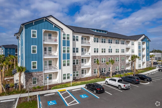
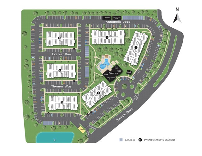
Property Record
6415 Annapolis Loop, Palmetto, FL 34221

Property Detail
6415 Annapolis Loop
7173-0530-9
TRACT F (FUTURE DEVELOPMENT), TREVESTA PH IB-1 PI #7173.0530/9
Residentialacreage
Manatee
PD-MU
Florida
B and X Area of moderate flood hazard, usually the area between the limits of the 100-year and 500-year floods.
10.33 AC
2023
Palmetto/Ellenton
2025
Tampa/St Petersburg
001501
North Port-Bradenton-Sarasota, FL
294,300 SF
NEARBY LISTINGS FOR SALE OR LEASE
-
-
View all Palmetto listings for sale on LoopNet.com
DEMOGRAPHICS near 6415 Annapolis Loop
1 mile
3 mile
5 mile
2025 Total Population
6,683
44,840
99,563
2030 Population
7,678
51,002
113,541
Pop Growth 2025-2030
+ 14.89%
+ 13.74%
+ 14.04%
Average Age
41
47
46
2025 Total Households
2,432
17,968
39,536
HH Growth 2025-2030
+ 15.21%
+ 14.25%
+ 14.08%
Median Household Inc
$100,420
$81,680
$85,635
Avg Household Size
2.70
2.40
2.40
2025 Avg HH Vehicles
2.00
2.00
2.00
Median Home Value
$393,265
$348,656
$389,744
Median Year Built
2010
2004
2004
Nearby Places
Map Layers
Map Styles
 Street
 Aerial
Layers
 Traffic
 Biking
Places
Listings with unknown addresses are not visible on the map
- Restaurants
- Banks
- Shops
- Fitness
- Groceries
PUBLIC TRANSPORTATION
AIRPORT
Sarasota/Bradenton International
Drive
Walk
Distance
Sarasota/Bradenton International
31 min
16.7 mi
St Pete-Clearwater International
Drive
Walk
Distance
St Pete-Clearwater International
51 min
34.3 mi
Tampa International
Drive
Walk
Distance
Tampa International
57 min
43.0 mi
Freight Ports
Port Manatee
Drive
Walk
Distance
Port Manatee
15 min
6.9 mi
Nearby Properties
Address
Land Use
TOTAL SIZE
Lot Size
Zoning
Address
Land Use
TOTAL SIZE
Lot Size
Zoning
622,266 SF
68.76 AC
PD-MU
Address
Land Use
TOTAL SIZE
Lot Size
Zoning
359,241 SF
27.68 AC
PD-MU
Address
Land Use
TOTAL SIZE
Lot Size
Zoning
406,811 SF
34.95 AC
PD-EZ
Address
Land Use
TOTAL SIZE
Lot Size
Zoning
359,418 SF
16.36 AC
PD-C
Address
Land Use
TOTAL SIZE
Lot Size
Zoning
30,717 SF
79.79 AC
A-1 SUBURB
Address
Land Use
TOTAL SIZE
Lot Size
Zoning
25,161 SF
94.96 AC
PD-RV
Address
Land Use
TOTAL SIZE
Lot Size
Zoning
313,422 SF
47.93 AC
PD-C
Address
Land Use
TOTAL SIZE
Lot Size
Zoning
456,375 SF
112.07 AC
PD-MU
Address
Land Use
TOTAL SIZE
Lot Size
Zoning
184,048 SF
21.11 AC
PD-MU
Address
Land Use
TOTAL SIZE
Lot Size
Zoning
270,900 SF
44.35 AC
PD-MU
Address
Land Use
TOTAL SIZE
Lot Size
Zoning
608,665 SF
30 AC
PD-MU
Address
Land Use
TOTAL SIZE
Lot Size
Zoning
456,317 SF
46.75 AC
PD-R
Address
Land Use
TOTAL SIZE
Lot Size
Zoning
3,904 SF
94 AC
Address
Land Use
TOTAL SIZE
Lot Size
Zoning
312,546 SF
39.60 AC
A-1 SUBURB
Address
Land Use
TOTAL SIZE
Lot Size
Zoning
191,100 SF
30.35 AC
PD-C
Address
Land Use
TOTAL SIZE
Lot Size
Zoning
208,893 SF
12.17 AC
PD-MU
Address
Land Use
TOTAL SIZE
Lot Size
Zoning
50.25 AC
Address
Land Use
TOTAL SIZE
Lot Size
Zoning
124,400 SF
4.05 AC
PD-MU
Address
Land Use
TOTAL SIZE
Lot Size
Zoning
172,875 SF
9.12 AC
A-1,NC-M,R
Address
Land Use
TOTAL SIZE
Lot Size
Zoning
118,152 SF
30.66 AC
A-1 SUBURB
Address
Land Use
TOTAL SIZE
Lot Size
Zoning
6,552 SF
30.06 AC
RVP
Address
Land Use
TOTAL SIZE
Lot Size
Zoning
137,104 SF
10 AC
PD-EZ
Address
Land Use
TOTAL SIZE
Lot Size
Zoning
3.09 AC
PD-R
Address
Land Use
TOTAL SIZE
Lot Size
Zoning
64,800 SF
8.19 AC
Address
Land Use
TOTAL SIZE
Lot Size
Zoning
75,001 SF
18.15 AC
PD-C
Address
Land Use
TOTAL SIZE
Lot Size
Zoning
98,574 SF
5.60 AC
PD-MU
Address
Land Use
TOTAL SIZE
Lot Size
Zoning
40.84 AC
Address
Land Use
TOTAL SIZE
Lot Size
Zoning
158.58 AC
Address
Land Use
TOTAL SIZE
Lot Size
Zoning
21.19 AC
The World's #1 Commercial Real Estate Marketplace
Connect with us
© 2026 CoStar Group
The information above has been obtained from sources believed reliable. While we do not doubt its accuracy we have not verified it and make no guarantee, warranty or representation about it. It is your responsibility to independently confirm its accuracy and completeness. Any projections, opinions, assumptions, or estimates used are for example only and do not represent the current or future performance of the property. The value of this transaction to you depends on tax and other factors which should be evaluated by your tax, financial, and legal advisors. You and your advisors should conduct a careful, independent investigation of the property to determine to your satisfaction the suitability of the property for your needs.