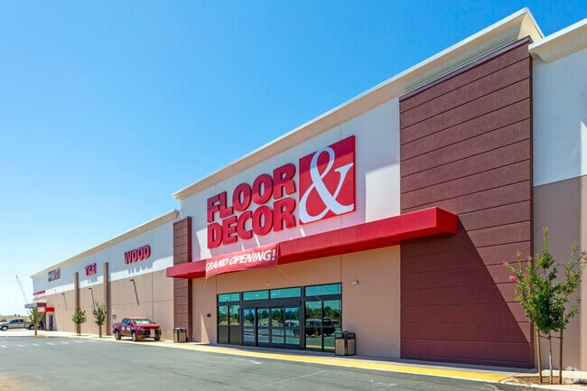
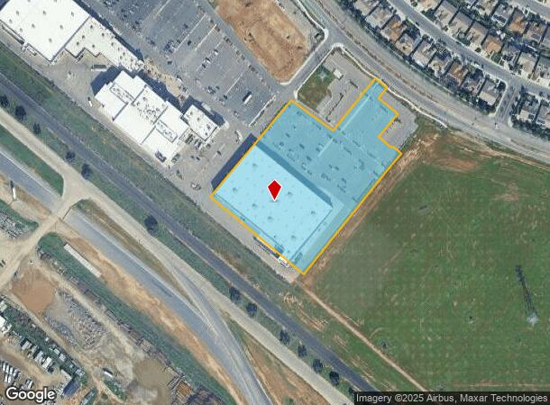
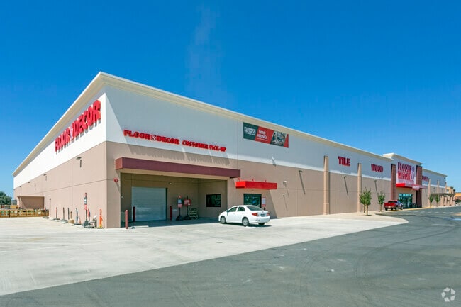
Property Record
6417 N Riverside Dr, Fresno, CA 93722
NEARBY LISTINGS FOR SALE OR LEASE
Property Detail
6417 N Riverside Dr
504-092-50S
5.72 AC IN LTS 332-334 337-338 & RD JCF FIG GDN #3
Commercialnec
Fresno
X
California
06019C1535H
5.72 AC
2025
N Shaw/W Blackstone
2025
Fresno
004215
Fresno, CA
79,563 SF
DEMOGRAPHICS near 6417 N Riverside Dr
1 Mile
3 Mile
5 Mile
2024 Total Population
11,489
66,336
139,533
2029 Population
11,671
68,163
142,723
Pop Growth 2024-2029
+ 1.58%
+ 2.75%
+ 2.29%
Average Age
37
36
37
2024 Total Households
3,481
21,645
45,969
HH Growth 2024-2029
+ 1.55%
+ 2.70%
+ 2.27%
Median Household Inc
$94,960
$81,664
$75,453
Avg Household Size
3.20
3.00
3.00
2024 Avg HH Vehicles
2.00
2.00
2.00
Median Home Value
$382,473
$354,991
$351,297
Median Year Built
2000
1996
1989
Nearby Places
- Restaurants
- Banks
- Shops
- Fitness
- Groceries
PUBLIC TRANSPORTATION
AIRPORT
Fresno Yosemite International
DRIVE
WALK
Distance
Fresno Yosemite International
25 min
12.8 mi
Freight Ports
Port of Stockton
DRIVE
WALK
Distance
Port of Stockton
142 min
118.6 mi
SALE & LEASE HISTORY
LISTING DATE
SALE/LEASE

Mar 24, 2021
For Sale
Nearby Properties
Address
Land Use
TOTAL SIZE
Lot Size
Zoning
Address
Land Use
TOTAL SIZE
Lot Size
Zoning
197,659 SF
11.80 AC
CC
Address
Land Use
TOTAL SIZE
Lot Size
Zoning
423,568 SF
32.25 AC
R2
Address
Land Use
TOTAL SIZE
Lot Size
Zoning
278,502 SF
19.42 AC
SPLIT
Address
Land Use
TOTAL SIZE
Lot Size
Zoning
82,970 SF
8.19 AC
CR
Address
Land Use
TOTAL SIZE
Lot Size
Zoning
54,758 SF
8 AC
AE5
Address
Land Use
TOTAL SIZE
Lot Size
Zoning
176,228 SF
10.17 AC
R2
Address
Land Use
TOTAL SIZE
Lot Size
Zoning
150,437 SF
14.72 AC
SPLIT
Address
Land Use
TOTAL SIZE
Lot Size
Zoning
139,072 SF
11.15 AC
C3
Address
Land Use
TOTAL SIZE
Lot Size
Zoning
83,026 SF
5.02 AC
RM1
Address
Land Use
TOTAL SIZE
Lot Size
Zoning
92,279 SF
0.01 AC
CM
Address
Land Use
TOTAL SIZE
Lot Size
Zoning
83,800 SF
4.04 AC
R2
Address
Land Use
TOTAL SIZE
Lot Size
Zoning
45,226 SF
2.77 AC
C2
Address
Land Use
TOTAL SIZE
Lot Size
Zoning
53,033 SF
7.09 AC
C1
Address
Land Use
TOTAL SIZE
Lot Size
Zoning
111,149 SF
8.22 AC
RM1
Address
Land Use
TOTAL SIZE
Lot Size
Zoning
128,386 SF
8.30 AC
R2
Address
Land Use
TOTAL SIZE
Lot Size
Zoning
57,445 SF
5.81 AC
Address
Land Use
TOTAL SIZE
Lot Size
Zoning
111,285 SF
10 AC
R1
Address
Land Use
TOTAL SIZE
Lot Size
Zoning
182,722 SF
13.29 AC
R2
Address
Land Use
TOTAL SIZE
Lot Size
Zoning
55,200 SF
3.73 AC
RM1
Address
Land Use
TOTAL SIZE
Lot Size
Zoning
207,808 SF
17.59 AC
CM
Address
Land Use
TOTAL SIZE
Lot Size
Zoning
103,332 SF
6.63 AC
R2
Address
Land Use
TOTAL SIZE
Lot Size
Zoning
56,490 SF
1.93 AC
CP
Address
Land Use
TOTAL SIZE
Lot Size
Zoning
96,077 SF
8.29 AC
C3
Address
Land Use
TOTAL SIZE
Lot Size
Zoning
132,690 SF
7.86 AC
RA
Address
Land Use
TOTAL SIZE
Lot Size
Zoning
64,428 SF
1.80 AC
CP
Address
Land Use
TOTAL SIZE
Lot Size
Zoning
36,289 SF
10.71 AC
RA
Address
Land Use
TOTAL SIZE
Lot Size
Zoning
55,934 SF
3.95 AC
Address
Land Use
TOTAL SIZE
Lot Size
Zoning
60,000 SF
5.05 AC
CR
The World's #1 Commercial Real Estate Marketplace
Connect with us
© 2025 CoStar Group
The information above has been obtained from sources believed reliable. While we do not doubt its accuracy we have not verified it and make no guarantee, warranty or representation about it. It is your responsibility to independently confirm its accuracy and completeness. Any projections, opinions, assumptions, or estimates used are for example only and do not represent the current or future performance of the property. The value of this transaction to you depends on tax and other factors which should be evaluated by your tax, financial, and legal advisors. You and your advisors should conduct a careful, independent investigation of the property to determine to your satisfaction the suitability of the property for your needs.