Property Record
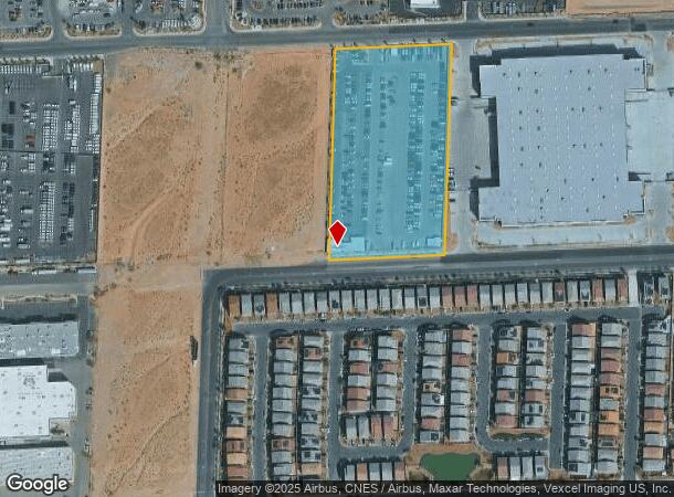
6435 W Maule Ave, Las Vegas, NV 89118

NEARBY LISTINGS FOR SALE OR LEASE
-
-
-
Patrick Lane and Santa Margarita Street @ Rainbow and Patrick
Las Vegas, NV 89118
$2,570,911
2.27 AC Lots
Land
-
-
-
-
-
-
-
-
-
-
-
-
View all Las Vegas listings for sale on LoopNet.com
Property Detail
6435 W Maule Ave
176-02-701-002
PT NW4 SE4 SEC 02 22 60
Commercialnec
Clark
X
Nevada
32003C2553F
4.50 AC
2025
Southwest Las Vegas
2025
Las Vegas
002979
Las Vegas-Henderson-Paradise, NV
DEMOGRAPHICS near 6435 W Maule Ave
1 Mile
3 Mile
5 Mile
2024 Total Population
12,060
119,728
367,395
2029 Population
12,952
129,732
397,859
Pop Growth 2024-2029
+ 7.40%
+ 8.36%
+ 8.29%
Average Age
37
38
39
2024 Total Households
4,323
44,865
141,164
HH Growth 2024-2029
+ 7.36%
+ 8.23%
+ 8.26%
Median Household Inc
$72,534
$72,037
$72,133
Avg Household Size
2.80
2.60
2.60
2024 Avg HH Vehicles
2.00
2.00
2.00
Median Home Value
$389,209
$401,502
$395,858
Median Year Built
2004
2002
2002
Nearby Places
Map Layers
Map Styles
 Street
 Aerial
- Restaurants
- Banks
- Shops
- Fitness
- Groceries
PUBLIC TRANSPORTATION
AIRPORT
Harry Reid International
DRIVE
WALK
Distance
Harry Reid International
12 min
7.2 mi
Boulder City Municipal
DRIVE
WALK
Distance
Boulder City Municipal
37 min
26.9 mi
Freight Ports
Port of Long Beach
DRIVE
WALK
Distance
Port of Long Beach
313 min
278.8 mi
Nearby Properties
Address
Land Use
TOTAL SIZE
Lot Size
Zoning
Address
Land Use
TOTAL SIZE
Lot Size
Zoning
552,417 SF
49.39 AC
H1
Address
Land Use
TOTAL SIZE
Lot Size
Zoning
412,086 SF
33.58 AC
CP
Address
Land Use
TOTAL SIZE
Lot Size
Zoning
35.25 AC
MD
Address
Land Use
TOTAL SIZE
Lot Size
Zoning
257,910 SF
31.47 AC
Address
Land Use
TOTAL SIZE
Lot Size
Zoning
29.59 AC
CP
Address
Land Use
TOTAL SIZE
Lot Size
Zoning
760,651 SF
41.25 AC
Address
Land Use
TOTAL SIZE
Lot Size
Zoning
317,500 SF
19.26 AC
Address
Land Use
TOTAL SIZE
Lot Size
Zoning
353,690 SF
17.23 AC
Address
Land Use
TOTAL SIZE
Lot Size
Zoning
349,295 SF
25.97 AC
Address
Land Use
TOTAL SIZE
Lot Size
Zoning
8,754 SF
17.14 AC
C2
Address
Land Use
TOTAL SIZE
Lot Size
Zoning
262,750 SF
17.95 AC
Address
Land Use
TOTAL SIZE
Lot Size
Zoning
6,142 SF
13.96 AC
C2
Address
Land Use
TOTAL SIZE
Lot Size
Zoning
151,243 SF
22.93 AC
Address
Land Use
TOTAL SIZE
Lot Size
Zoning
930,204 SF
53.28 AC
MD
Address
Land Use
TOTAL SIZE
Lot Size
Zoning
222,625 SF
16.99 AC
Address
Land Use
TOTAL SIZE
Lot Size
Zoning
35.55 AC
PF
Address
Land Use
TOTAL SIZE
Lot Size
Zoning
374,101 SF
31.11 AC
Address
Land Use
TOTAL SIZE
Lot Size
Zoning
396,742 SF
17.10 AC
Address
Land Use
TOTAL SIZE
Lot Size
Zoning
239,500 SF
13.18 AC
Address
Land Use
TOTAL SIZE
Lot Size
Zoning
10,869 SF
14.77 AC
Address
Land Use
TOTAL SIZE
Lot Size
Zoning
1,961 SF
4.34 AC
Address
Land Use
TOTAL SIZE
Lot Size
Zoning
9.34 AC
Address
Land Use
TOTAL SIZE
Lot Size
Zoning
4,830 SF
15.84 AC
Address
Land Use
TOTAL SIZE
Lot Size
Zoning
4,199 SF
12.11 AC
RE
Address
Land Use
TOTAL SIZE
Lot Size
Zoning
220,718 SF
3.99 AC
C2
Address
Land Use
TOTAL SIZE
Lot Size
Zoning
6,782 SF
17.45 AC
R3
Address
Land Use
TOTAL SIZE
Lot Size
Zoning
7,302 SF
9.21 AC
Address
Land Use
TOTAL SIZE
Lot Size
Zoning
478,844 SF
35.21 AC
MD
Address
Land Use
TOTAL SIZE
Lot Size
Zoning
4,382 SF
13.65 AC
C2
The World's #1 Commercial Real Estate Marketplace
Connect with us
© 2025 CoStar Group
The information above has been obtained from sources believed reliable. While we do not doubt its accuracy we have not verified it and make no guarantee, warranty or representation about it. It is your responsibility to independently confirm its accuracy and completeness. Any projections, opinions, assumptions, or estimates used are for example only and do not represent the current or future performance of the property. The value of this transaction to you depends on tax and other factors which should be evaluated by your tax, financial, and legal advisors. You and your advisors should conduct a careful, independent investigation of the property to determine to your satisfaction the suitability of the property for your needs.