Property Record
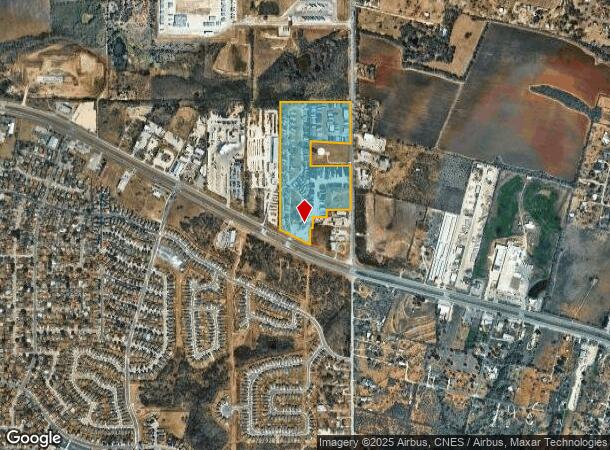
6445 Us Highway 87 E, San Antonio, TX 78222

NEARBY LISTINGS FOR SALE OR LEASE
Property Detail
6445 Us Highway 87 E
San Antonio-New Braunfels, TX
Conv A/S Code
05132-600-0013
CB: 5132F LOT 1 CB 5132J LOT 3-5,& 9-11,W 50'OF 1,& N IRR 79.97'OF 2,S 80'OF 6 ETC 2019--BCAD UPDATED OWNERSHIP PER DEED 20180158171. DEED SHOWS OLD FIELDNOTES. JF/GIS/5-3-19
Campgroundrvpark
Bexar
X
Texas
48029C0440H
13
2024
33.25 AC
2025
South
131402
San Antonio
106 SF
DEMOGRAPHICS near 6445 Us Highway 87 E
1 Mile
3 Mile
5 Mile
2024 Total Population
5,373
32,173
102,362
2029 Population
5,740
34,580
109,676
Pop Growth 2024-2029
+ 6.83%
+ 7.48%
+ 7.15%
Average Age
36
36
36
2024 Total Households
1,671
10,884
34,453
HH Growth 2024-2029
+ 7.06%
+ 7.67%
+ 7.29%
Median Household Inc
$70,009
$56,816
$49,858
Avg Household Size
3.10
2.90
2.90
2024 Avg HH Vehicles
2.00
2.00
2.00
Median Home Value
$185,120
$174,657
$161,835
Median Year Built
2002
1989
1982
Nearby Places
Map Layers
Map Styles
 Street
 Aerial
- Restaurants
- Banks
- Shops
- Fitness
- Groceries
PUBLIC TRANSPORTATION
COMMUTER RAIL
San Antonio Amtrak Station (Sunset Limited - Amtrak, Texas Eagle - Amtrak)
DRIVE
WALK
Distance
San Antonio Amtrak Station (Sunset Limited - Amtrak, Texas Eagle - Amtrak)
16 min
9.0 mi
AIRPORT
San Antonio International
DRIVE
WALK
Distance
San Antonio International
22 min
16.3 mi
Freight Ports
Calhoun Port
DRIVE
WALK
Distance
Calhoun Port
165 min
137.6 mi
Nearby Properties
Address
Land Use
TOTAL SIZE
Lot Size
Zoning
Address
Land Use
TOTAL SIZE
Lot Size
Zoning
545,980 SF
125.36 AC
Address
Land Use
TOTAL SIZE
Lot Size
Zoning
122,130 SF
541.40 AC
Address
Land Use
TOTAL SIZE
Lot Size
Zoning
434,029 SF
109.87 AC
Address
Land Use
TOTAL SIZE
Lot Size
Zoning
397,806 SF
15.08 AC
Address
Land Use
TOTAL SIZE
Lot Size
Zoning
690,500 SF
16.96 AC
Address
Land Use
TOTAL SIZE
Lot Size
Zoning
359,459 SF
15.81 AC
Address
Land Use
TOTAL SIZE
Lot Size
Zoning
380,949 SF
146.39 AC
Address
Land Use
TOTAL SIZE
Lot Size
Zoning
380,949 SF
135.47 AC
Address
Land Use
TOTAL SIZE
Lot Size
Zoning
Address
Land Use
TOTAL SIZE
Lot Size
Zoning
35.76 AC
Address
Land Use
TOTAL SIZE
Lot Size
Zoning
42.04 AC
Address
Land Use
TOTAL SIZE
Lot Size
Zoning
252,465 SF
37.40 AC
Address
Land Use
TOTAL SIZE
Lot Size
Zoning
41.63 AC
Address
Land Use
TOTAL SIZE
Lot Size
Zoning
33.77 AC
Address
Land Use
TOTAL SIZE
Lot Size
Zoning
4,920 SF
860.60 AC
Address
Land Use
TOTAL SIZE
Lot Size
Zoning
648 SF
392.83 AC
Address
Land Use
TOTAL SIZE
Lot Size
Zoning
14.14 AC
Address
Land Use
TOTAL SIZE
Lot Size
Zoning
101,517 SF
13.04 AC
Address
Land Use
TOTAL SIZE
Lot Size
Zoning
18.35 AC
Address
Land Use
TOTAL SIZE
Lot Size
Zoning
17.47 AC
Address
Land Use
TOTAL SIZE
Lot Size
Zoning
141,955 SF
121.60 AC
Address
Land Use
TOTAL SIZE
Lot Size
Zoning
24.75 AC
Address
Land Use
TOTAL SIZE
Lot Size
Zoning
1,859 SF
60.40 AC
Address
Land Use
TOTAL SIZE
Lot Size
Zoning
296,542 SF
26.32 AC
Address
Land Use
TOTAL SIZE
Lot Size
Zoning
44,800 SF
61.44 AC
Address
Land Use
TOTAL SIZE
Lot Size
Zoning
3,131 SF
291.90 AC
Address
Land Use
TOTAL SIZE
Lot Size
Zoning
204,166 SF
23.69 AC
Address
Land Use
TOTAL SIZE
Lot Size
Zoning
177,692 SF
9.16 AC
Address
Land Use
TOTAL SIZE
Lot Size
Zoning
259,779 SF
14.85 AC
Address
Land Use
TOTAL SIZE
Lot Size
Zoning
35,612 SF
7.15 AC
The World's #1 Commercial Real Estate Marketplace
Connect with us
© 2025 CoStar Group
The information above has been obtained from sources believed reliable. While we do not doubt its accuracy we have not verified it and make no guarantee, warranty or representation about it. It is your responsibility to independently confirm its accuracy and completeness. Any projections, opinions, assumptions, or estimates used are for example only and do not represent the current or future performance of the property. The value of this transaction to you depends on tax and other factors which should be evaluated by your tax, financial, and legal advisors. You and your advisors should conduct a careful, independent investigation of the property to determine to your satisfaction the suitability of the property for your needs.