Property Record
6450 Keizer Station Blvd Ne, Keizer, OR 97303
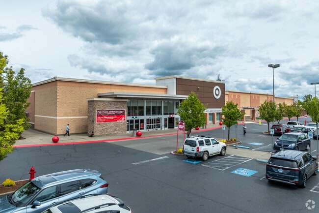

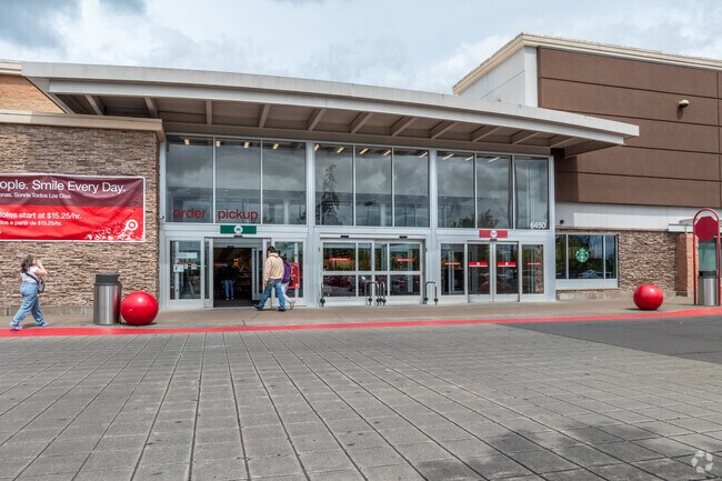
Property Detail
6450 Keizer Station Blvd Ne
337302
KEIZER STATION VILLAGE CENTER LOT 6 ACRES 10.14
Officebuilding
Marion
IBP
Oregon
B and X Area of moderate flood hazard, usually the area between the limits of the 100-year and 500-year floods.
6
2024
10.14 AC
2025
Marion County
001501
Portland
123,752 SF
Salem, OR
NEARBY LISTINGS FOR SALE OR LEASE
DEMOGRAPHICS near 6450 Keizer Station Blvd Ne
1 mile
3 mile
5 mile
2025 Total Population
4,193
69,993
129,808
2030 Population
4,227
70,731
130,950
Pop Growth 2025-2030
+ 0.81%
+ 1.05%
+ 0.88%
Average Age
40
38
38
2025 Total Households
1,440
24,940
46,199
HH Growth 2025-2030
+ 0.90%
+ 1.17%
+ 0.96%
Median Household Inc
$101,708
$71,873
$67,798
Avg Household Size
2.80
2.70
2.70
2025 Avg HH Vehicles
2.00
2.00
2.00
Median Home Value
$434,798
$418,179
$397,014
Median Year Built
1981
1984
1979
Nearby Places
Map Layers
Map Styles
 Street
 Aerial
Layers
 Traffic
 Biking
Places
Listings with unknown addresses are not visible on the map
- Restaurants
- Banks
- Shops
- Fitness
- Groceries
PUBLIC TRANSPORTATION
COMMUTER RAIL
Drive
Walk
Distance
16 min
7.4 mi
Nearby Properties
Address
Land Use
TOTAL SIZE
Lot Size
Zoning
Address
Land Use
TOTAL SIZE
Lot Size
Zoning
58,868 SF
38.09 AC
P; RM
Address
Land Use
TOTAL SIZE
Lot Size
Zoning
94,577 SF
10.65 AC
PA
Address
Land Use
TOTAL SIZE
Lot Size
Zoning
236,632 SF
24.45 AC
CO
Address
Land Use
TOTAL SIZE
Lot Size
Zoning
318,068 SF
14.57 AC
RM2
Address
Land Use
TOTAL SIZE
Lot Size
Zoning
84,940 SF
16.75 AC
IBP
Address
Land Use
TOTAL SIZE
Lot Size
Zoning
68,512 SF
9.09 AC
P
Address
Land Use
TOTAL SIZE
Lot Size
Zoning
29.36 AC
IG; CR
Address
Land Use
TOTAL SIZE
Lot Size
Zoning
161,418 SF
4.48 AC
MU
Address
Land Use
TOTAL SIZE
Lot Size
Zoning
134,440 SF
12.25 AC
IBP
Address
Land Use
TOTAL SIZE
Lot Size
Zoning
42,077 SF
8.54 AC
P
Address
Land Use
TOTAL SIZE
Lot Size
Zoning
150,649 SF
3.67 AC
MU
Address
Land Use
TOTAL SIZE
Lot Size
Zoning
16.15 AC
EFU
Address
Land Use
TOTAL SIZE
Lot Size
Zoning
171,349 SF
6.88 AC
RM
Address
Land Use
TOTAL SIZE
Lot Size
Zoning
101,921 SF
3.76 AC
MU
Address
Land Use
TOTAL SIZE
Lot Size
Zoning
51,286 SF
3.43 AC
P
Address
Land Use
TOTAL SIZE
Lot Size
Zoning
74,549 SF
1.62 AC
IC
Address
Land Use
TOTAL SIZE
Lot Size
Zoning
143,992 SF
6.81 AC
RM2
Address
Land Use
TOTAL SIZE
Lot Size
Zoning
105,537 SF
5.86 AC
RS
Address
Land Use
TOTAL SIZE
Lot Size
Zoning
167,516 SF
7.42 AC
RM
Address
Land Use
TOTAL SIZE
Lot Size
Zoning
54,745 SF
5.32 AC
IBP
Address
Land Use
TOTAL SIZE
Lot Size
Zoning
136,937 SF
6.44 AC
RM2
Address
Land Use
TOTAL SIZE
Lot Size
Zoning
102,832 SF
4.93 AC
MU
Address
Land Use
TOTAL SIZE
Lot Size
Zoning
Address
Land Use
TOTAL SIZE
Lot Size
Zoning
93,718 SF
7.23 AC
CM
Address
Land Use
TOTAL SIZE
Lot Size
Zoning
120,177 SF
6.60 AC
MU
Address
Land Use
TOTAL SIZE
Lot Size
Zoning
160,626 SF
12.15 AC
RM2
Address
Land Use
TOTAL SIZE
Lot Size
Zoning
101,224 SF
3.93 AC
RM
Address
Land Use
TOTAL SIZE
Lot Size
Zoning
74,688 SF
3.18 AC
CO
Address
Land Use
TOTAL SIZE
Lot Size
Zoning
79,446 SF
4.86 AC
CM
The World's #1 Commercial Real Estate Marketplace
Connect with us
© 2026 CoStar Group
The information above has been obtained from sources believed reliable. While we do not doubt its accuracy we have not verified it and make no guarantee, warranty or representation about it. It is your responsibility to independently confirm its accuracy and completeness. Any projections, opinions, assumptions, or estimates used are for example only and do not represent the current or future performance of the property. The value of this transaction to you depends on tax and other factors which should be evaluated by your tax, financial, and legal advisors. You and your advisors should conduct a careful, independent investigation of the property to determine to your satisfaction the suitability of the property for your needs.